No higher resolution available.
Tatworthchurch.jpg (640 × 480 pixels, file size: 91 KB, MIME type: image/jpeg)
| Description |
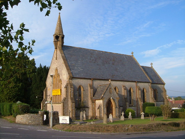
English: Church of St John, Tatworth, Somerset. The church dates from 1851. At the western edge of the village, very close to the A358. |
| Date | |
| Source | From geograph.org.uk |
| Author | Derek Harper |
| Permission (Reusing this file) |
Creative Commons Attribution Share-alike license 2.0 |
| Camera location | | View this and other nearby images on: OpenStreetMap |
|---|

|
This image was taken from the Geograph project collection. See this photograph's page on the Geograph website for the photographer's contact details. The copyright on this image is owned by Derek Harper and is licensed for reuse under the Creative Commons Attribution-ShareAlike 2.0 license.
|
This file is licensed under the Creative Commons Attribution-Share Alike 2.0 Generic license.
Attribution: Derek Harper
- You are free:
- to share – to copy, distribute and transmit the work
- to remix – to adapt the work
- Under the following conditions:
- attribution – You must give appropriate credit, provide a link to the license, and indicate if changes were made. You may do so in any reasonable manner, but not in any way that suggests the licensor endorses you or your use.
- share alike – If you remix, transform, or build upon the material, you must distribute your contributions under the same or compatible license as the original.
Original upload log
The original description page was here. All following user names refer to en.wikipedia.
- 2007-11-23 12:26 Rodw 640×480×??? (93328 bytes) Church of St John, Tatworth The church dates from 1851. At the western edge of the village, very close to the A358. Creative Commons Licence [Some Rights Reserved] © Copyright Derek Harper and licensed for reuse under this Creative Commons Licence. see
File history
Click on a date/time to view the file as it appeared at that time.
| Date/Time | Thumbnail | Dimensions | User | Comment | |
|---|---|---|---|---|---|
| current | 09:38, 1 September 2008 | | 640 × 480 (91 KB) | TimTay | {{Information |Description={{en|Church of St John, Tatworth, Somerset. The church dates from 1851. At the western edge of the village, very close to the A358.}} |Source=Transferred from [http://en.wikipedia.org en.wikipedia] |Date=2007-11-23 (original upl |
File usage
The following pages on the English Wikipedia use this file (pages on other projects are not listed):
Global file usage
The following other wikis use this file:
- Usage on ceb.wikipedia.org
- Usage on en.wikibooks.org
- Usage on es.wikipedia.org
- Usage on fa.wikipedia.org
- Usage on fr.wikipedia.org
- Usage on it.wikipedia.org
- Usage on nl.wikipedia.org
- Usage on pl.wikipedia.org
- Usage on tr.wikipedia.org
- Usage on www.wikidata.org