
Size of this preview: 800 × 382 pixels. Other resolutions: 320 × 153 pixels | 640 × 305 pixels | 1,024 × 489 pixels | 1,280 × 611 pixels | 3,739 × 1,784 pixels.
Original file (3,739 × 1,784 pixels, file size: 969 KB, MIME type: image/jpeg)
Summary
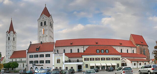
| Description | Moosburg Kastulusmünster südseite |
| Date | 05.10.2007 |
| Source | Foto |
| Author | Samuel Lung |
| Object location | | View this and other nearby images on: OpenStreetMap |
|---|
Licensing
| I, the copyright holder of this work, release this work into the public domain. This applies worldwide. In some countries this may not be legally possible; if so: I grant anyone the right to use this work for any purpose, without any conditions, unless such conditions are required by law. |
File history
Click on a date/time to view the file as it appeared at that time.
| Date/Time | Thumbnail | Dimensions | User | Comment | |
|---|---|---|---|---|---|
| current | 13:34, 26 April 2008 | | 3,739 × 1,784 (969 KB) | Libellulia~commonswiki | optimized masks and filesize |
| 13:20, 26 April 2008 |  | 3,739 × 1,784 (2.62 MB) | Libellulia~commonswiki | correction of levels and reduction of some "panorama-conversion"-artifacts | |
| 09:43, 12 October 2007 |  | 3,739 × 1,784 (905 KB) | Sam222 | {{Information |Description= Moosburg Kastulusmünster südseite |Source= Foto |Date= 05.10.2007 |Author= Samuel Lung |Permission= |other_versions= }} |
File usage
The following pages on the English Wikipedia use this file (pages on other projects are not listed):
Global file usage
The following other wikis use this file:
- Usage on bg.wikipedia.org
- Usage on da.wikipedia.org
- Usage on de.wikipedia.org
- Usage on es.wikipedia.org
- Usage on fa.wikipedia.org
- Usage on fr.wikipedia.org
- Usage on ky.wikipedia.org
- Usage on mk.wikipedia.org
- Usage on sh.wikipedia.org
- Usage on simple.wikipedia.org
- Usage on sr.wikipedia.org
- Usage on ur.wikipedia.org
- Usage on vi.wikipedia.org