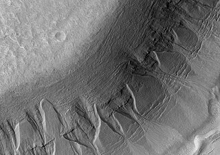
Size of this preview: 800 × 566 pixels. Other resolutions: 320 × 226 pixels | 640 × 452 pixels | 942 × 666 pixels.
Original file (942 × 666 pixels, file size: 105 KB, MIME type: image/jpeg)
Summary[edit]
| Description |
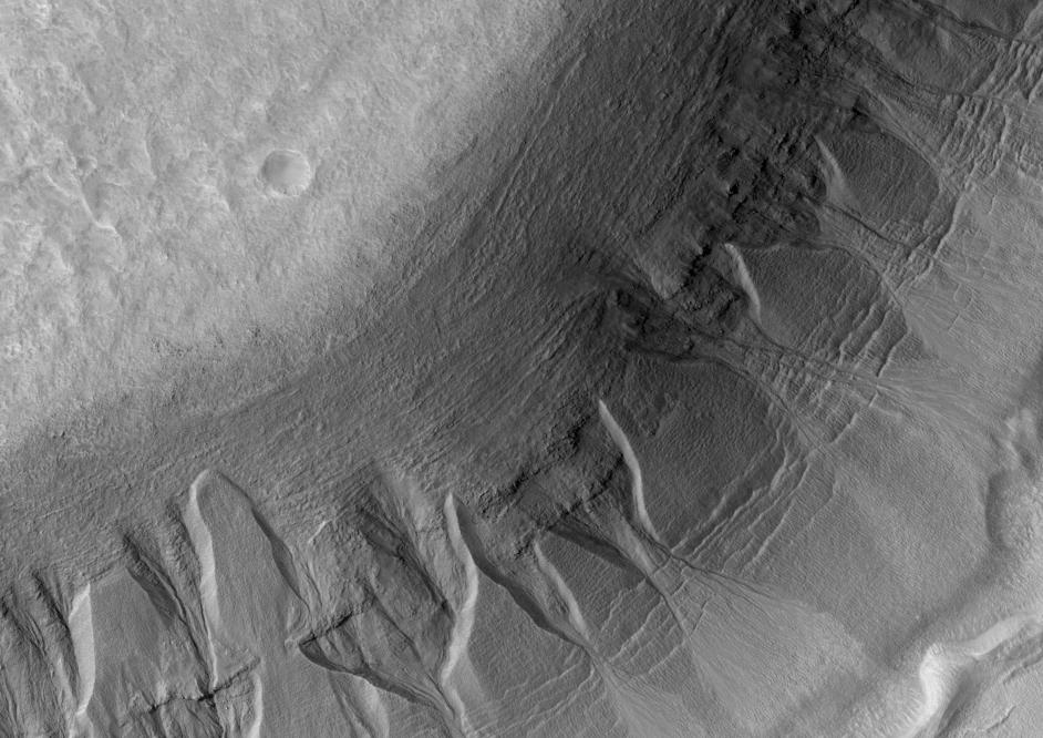
Harmakhis Vallis gullies, as seen by HiRISE. The location is 39.4 degrees south latitude and 268.3 degrees west longitude. Picture was taken with the Mars Reconnaissance Orbiter's HiRISE. Picture credit is NASA/JPL/ University of Arizona. |
|---|---|
| Source | |
| Date |
February 12, 2009 |
| Author |
Jim Secosky modified NASA image. |
| Permission (Reusing this file) |
See below.
|
Licensing:[edit]
File history
Click on a date/time to view the file as it appeared at that time.
| Date/Time | Thumbnail | Dimensions | User | Comment | |
|---|---|---|---|---|---|
| current | 17:22, 12 February 2009 | | 942 × 666 (105 KB) | Jimmarsmars (talk | contribs) | {{Information |Description=Harmakhis Vallis gullies, as seen by HiRISE. The location is 39.4 degrees south latitude and 268.3 degrees west longitude. |Source=http://hirise.lpl.arizona.edu/PSP_003890_1405 |Date=February 12, 2009 |Author=Jim Secosky modif |
You cannot overwrite this file.
File usage
The following pages on the English Wikipedia use this file (pages on other projects are not listed):