
Size of this preview: 800 × 532 pixels. Other resolutions: 320 × 213 pixels | 640 × 426 pixels | 1,024 × 681 pixels | 1,280 × 851 pixels | 3,008 × 2,000 pixels.
Original file (3,008 × 2,000 pixels, file size: 3.68 MB, MIME type: image/jpeg)
Summary
| Description |
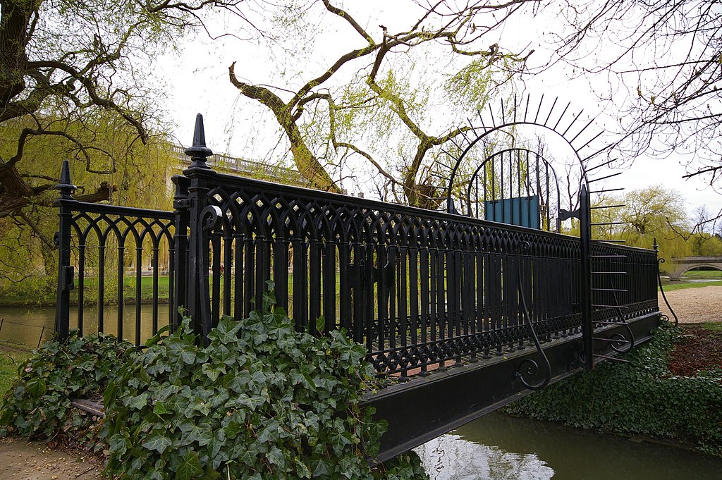
English: Bridge between John's and Trinity This bridge crosses the drain separating Trinity and St John's Colleges on the Backs. The gate usually seems to be locked. |
| Date | |
| Source | From geograph.org.uk |
| Author | Ben Harris |
| Attribution (required by the license) | Ben Harris / Bridge between John's and Trinity / |
| Camera location | | View this and other nearby images on: OpenStreetMap |
|---|
_heading:135.00&language=en)
| Object location | | View this and other nearby images on: OpenStreetMap |
|---|
_heading:135.00&language=en)
Licensing

|
This image was taken from the Geograph project collection. See this photograph's page on the Geograph website for the photographer's contact details. The copyright on this image is owned by Ben Harris and is licensed for reuse under the Creative Commons Attribution-ShareAlike 2.0 license.
|
This file is licensed under the Creative Commons Attribution-Share Alike 2.0 Generic license.
Attribution: Ben Harris
- You are free:
- to share – to copy, distribute and transmit the work
- to remix – to adapt the work
- Under the following conditions:
- attribution – You must give appropriate credit, provide a link to the license, and indicate if changes were made. You may do so in any reasonable manner, but not in any way that suggests the licensor endorses you or your use.
- share alike – If you remix, transform, or build upon the material, you must distribute your contributions under the same or compatible license as the original.
File history
Click on a date/time to view the file as it appeared at that time.
| Date/Time | Thumbnail | Dimensions | User | Comment | |
|---|---|---|---|---|---|
| current | 12:56, 23 August 2020 | | 3,008 × 2,000 (3.68 MB) | Geograph Update Bot | Higher-resolution version from Geograph. |
| 10:52, 19 February 2011 |  | 640 × 426 (113 KB) | GeographBot | == {{int:filedesc}} == {{Information |description={{en|1=Bridge between John's and Trinity This bridge crosses the drain separating Trinity and St John's Colleges on the Backs. The gate usually seems to be locked.}} |date=2008-03-29 |source=From [http:// |
File usage
The following pages on the English Wikipedia use this file (pages on other projects are not listed):
Global file usage
The following other wikis use this file:
- Usage on azb.wikipedia.org
- Usage on nl.wikipedia.org
- Usage on www.wikidata.org