No higher resolution available.
BlankMap-Europe-v2.png (450 × 422 pixels, file size: 12 KB, MIME type: image/png)
| Description |
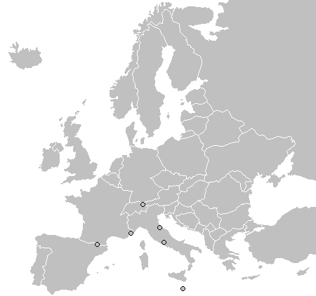
English: A map of Europe as of 2005, with country outlines. Sovereign microstates less than 2 500 km² in area are depicted as circles. |
||||||||
| Source | map from wikipedia | ||||||||
| Author | |||||||||
| Permission (Reusing this file) |
|
||||||||
| Other versions |
|


File history
Click on a date/time to view the file as it appeared at that time.
| Date/Time | Thumbnail | Dimensions | User | Comment | |
|---|---|---|---|---|---|
| current | 22:55, 27 May 2020 | | 450 × 422 (12 KB) | Knyaz-1988 | Коррекция границ |
| 19:24, 21 July 2009 |  | 450 × 422 (15 KB) | Hoshie | Re-did Kosovo in a different way; see Image talk:Continental-Europe-map.png#Kosovo - a solution | |
| 10:51, 27 September 2008 |  | 450 × 422 (15 KB) | Hoshie | Re-added Kosovo; see Image talk:Continental-Europe-map.png#Kosovo - a solution | |
| 20:50, 26 June 2008 |  | 450 × 422 (10 KB) | Milosevo | Reverted to version as of 13:31, 12 June 2008 | |
| 16:43, 26 June 2008 |  | 450 × 422 (15 KB) | Cradel | Reverted to version as of 11:25, 12 June 2008 | |
| 13:31, 12 June 2008 |  | 450 × 422 (10 KB) | Milosevo | Reverted to version as of 19:32, 9 June 2008 | |
| 11:25, 12 June 2008 |  | 450 × 422 (15 KB) | Cradel | +KOS | |
| 19:32, 9 June 2008 |  | 450 × 422 (10 KB) | Milosevo | Reverted to version as of 19:36, 19 March 2008 vandalism, kosovo is no un-member | |
| 21:58, 22 March 2008 |  | 450 × 422 (15 KB) | Nightstallion | Reverted to version as of 16:35, 13 March 2008 | |
| 19:36, 19 March 2008 |  | 450 × 422 (10 KB) | Patstuart | Reverted to version as of 18:17, 11 March 2008 - see Image talk:BlankMap-World-v6.png#As stated in reversion |
File usage
The following pages on the English Wikipedia use this file (pages on other projects are not listed):
Global file usage
The following other wikis use this file:
- Usage on am.wikipedia.org
- Usage on hr.wikipedia.org
- Usage on ht.wikipedia.org
- Usage on ja.wikipedia.org
- Usage on pt.wiktionary.org