Size of this preview: 600 × 600 pixels. Other resolutions: 240 × 240 pixels | 480 × 480 pixels | 768 × 768 pixels | 1,224 × 1,224 pixels.
Original file (1,224 × 1,224 pixels, file size: 570 KB, MIME type: image/jpeg)
Summary
| Description |
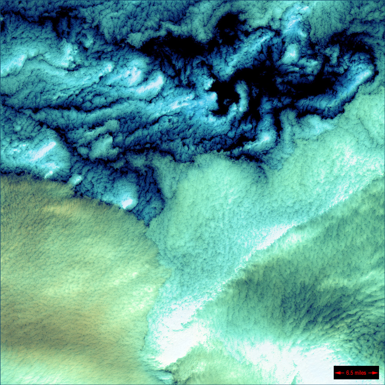
English: These cloud formations were seen over the western Aleutian Islands. Their color variations are probably due to differences in temperature and in the size of water droplets that make up the clouds.
|
||||
| Date | |||||
| Source | http://earthasart.gsfc.nasa.gov/aleutian.html | ||||
| Author | NASA |
Licensing
| This file is in the public domain in the United States because it was solely created by NASA. NASA copyright policy states that "NASA material is not protected by copyright unless noted". (See Template:PD-USGov, NASA copyright policy page or JPL Image Use Policy.) | ||
 |
Warnings:
|
File history
Click on a date/time to view the file as it appeared at that time.
| Date/Time | Thumbnail | Dimensions | User | Comment | |
|---|---|---|---|---|---|
| current | 19:59, 23 June 2010 | | 1,224 × 1,224 (570 KB) | Schuylar | {{Information |Description={{en|1=These cloud formations were seen over the western Aleutian Islands. Their color variations are probably due to differences in temperature and in the size of water droplets that make up the clouds. }} |Source=http://ear |
File usage
The following pages on the English Wikipedia use this file (pages on other projects are not listed):
Global file usage
The following other wikis use this file:
- Usage on ru.wikipedia.org