
Size of this PNG preview of this SVG file: 635 × 600 pixels. Other resolutions: 254 × 240 pixels | 508 × 480 pixels | 813 × 768 pixels | 1,084 × 1,024 pixels | 2,169 × 2,048 pixels | 1,525 × 1,440 pixels.
Original file (SVG file, nominally 1,525 × 1,440 pixels, file size: 499 KB)
| Description |
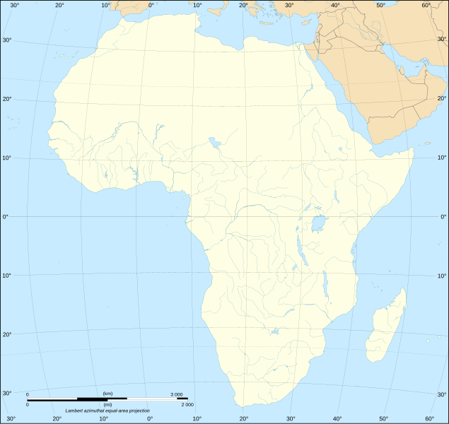
English: Blank map of the African continent. Français : Carte vierge du continent africain. Lambert azimutal equal-area projection, WGS84 datum, standard meridian: 15°E, standard parallel: 0°Scale: 1:15,000,000 (accuracy: 3,75 km) |
| Date | (UTC) |
| Source | |
| Author |
|
| Other versions |
Derivative works of this file: Africa slave Regions.svg
[]
|


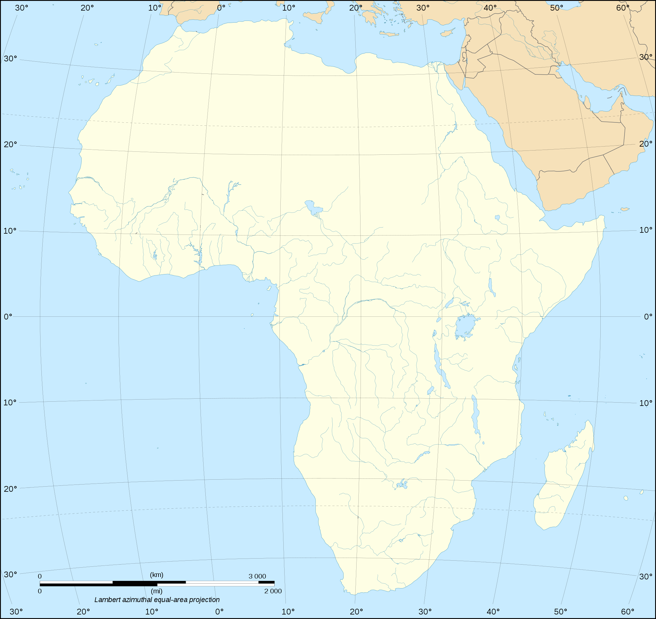
| This is a retouched picture, which means that it has been digitally altered from its original version. Modifications: Removed national borders. The original can be viewed here: Africa map blank.svg:
|
I, the copyright holder of this work, hereby publish it under the following licenses:
This file is licensed under the Creative Commons Attribution-Share Alike 2.5 Generic, 2.0 Generic and 1.0 Generic license.
- You are free:
- to share – to copy, distribute and transmit the work
- to remix – to adapt the work
- Under the following conditions:
- attribution – You must give appropriate credit, provide a link to the license, and indicate if changes were made. You may do so in any reasonable manner, but not in any way that suggests the licensor endorses you or your use.
- share alike – If you remix, transform, or build upon the material, you must distribute your contributions under the same or compatible license as the original.
| This file is licensed under the Creative Commons Attribution-Share Alike 3.0 Unported license. | ||
| ||
| This licensing tag was added to this file as part of the GFDL licensing update. |

|
Permission is granted to copy, distribute and/or modify this document under the terms of the GNU Free Documentation License, Version 1.2 or any later version published by the Free Software Foundation; with no Invariant Sections, no Front-Cover Texts, and no Back-Cover Texts. A copy of the license is included in the section entitled GNU Free Documentation License. |
You may select the license of your choice.
Original upload log
This image is a derivative work of the following images:
- File:Africa_map_blank.svg licensed with Cc-by-sa-2.5,2.0,1.0, Cc-by-sa-3.0-migrated, GFDL
- 2009-01-10T20:36:44Z Sting 1525x1440 (710059 Bytes) Detail correction
- 2008-06-27T03:34:58Z Sting 1525x1440 (711453 Bytes) Completely new drawing with known projection
- 2006-05-31T15:28:42Z Sting 1390x1295 (571519 Bytes) Enhanced version : African and Asian continents separated
- 2006-05-31T03:53:32Z Sting 1390x1295 (566642 Bytes) {{Information |Description=Blank vector graphic map of [[:Category:Maps of Africa|Africa]] |Source=Several bitmap-type maps |Date= May 2006 |Author= Eric Gaba ([[User:Sting|Sting]]) |Permission=GFDL or CC-BY-SA |other_version
Uploaded with derivativeFX
File history
Click on a date/time to view the file as it appeared at that time.
| Date/Time | Thumbnail | Dimensions | User | Comment | |
|---|---|---|---|---|---|
| current | 18:28, 10 March 2010 | | 1,525 × 1,440 (499 KB) | Zscout370 | {{Information |Description={{en|Blank map of the African continent.}} {{fr|Carte vierge du continent africain.}} Lambert azimutal equal-area projection, WGS84 datum, standard meridian: 15°E, stand |
File usage
The following pages on the English Wikipedia use this file (pages on other projects are not listed):
Global file usage
The following other wikis use this file:
- Usage on fr.wikipedia.org
- Usage on ja.wikipedia.org
- Usage on ko.wikipedia.org
- Usage on ru.wikipedia.org