No higher resolution available.
A632_Matlock_to_Chesterfield_road.jpg (640 × 481 pixels, file size: 100 KB, MIME type: image/jpeg)
Summary
| Description |
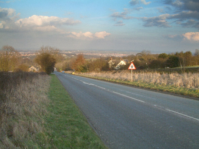
English: A632 Matlock to Chesterfield road.
View looking downhill towards Slatepit Dale and with Chesterfield visible in the distance. |
| Date | |
| Source | From geograph.org.uk |
| Author | Mike Fowkes |
| Permission (Reusing this file) |
Creative Commons Attribution Share-alike license 2.0 |
| Camera location | | View this and other nearby images on: OpenStreetMap |
|---|
Licensing

|
This image was taken from the Geograph project collection. See this photograph's page on the Geograph website for the photographer's contact details. The copyright on this image is owned by Mike Fowkes and is licensed for reuse under the Creative Commons Attribution-ShareAlike 2.0 license.
|
This file is licensed under the Creative Commons Attribution-Share Alike 2.0 Generic license.
Attribution: Mike Fowkes
- You are free:
- to share – to copy, distribute and transmit the work
- to remix – to adapt the work
- Under the following conditions:
- attribution – You must give appropriate credit, provide a link to the license, and indicate if changes were made. You may do so in any reasonable manner, but not in any way that suggests the licensor endorses you or your use.
- share alike – If you remix, transform, or build upon the material, you must distribute your contributions under the same or compatible license as the original.
File history
Click on a date/time to view the file as it appeared at that time.
| Date/Time | Thumbnail | Dimensions | User | Comment | |
|---|---|---|---|---|---|
| current | 11:37, 26 June 2008 | | 640 × 481 (100 KB) | Robert Weemeyer | {{Information |Description={{en|1=A632 Matlock to Chesterfield road. View looking downhill towards Slatepit Dale and with Chesterfield visible in the distance.}} |Source=http://www.geograph.org.uk/photo/125956 |Author=Mike Fowkes |Date=2006-02 |
File usage
The following pages on the English Wikipedia use this file (pages on other projects are not listed):
Global file usage
The following other wikis use this file:
- Usage on www.wikidata.org