No higher resolution available.
Wood_Walton_Marsh_-_geograph.org.uk_-_1243441.jpg (640 × 480 pixels, file size: 96 KB, MIME type: image/jpeg)
Summary
| Description |
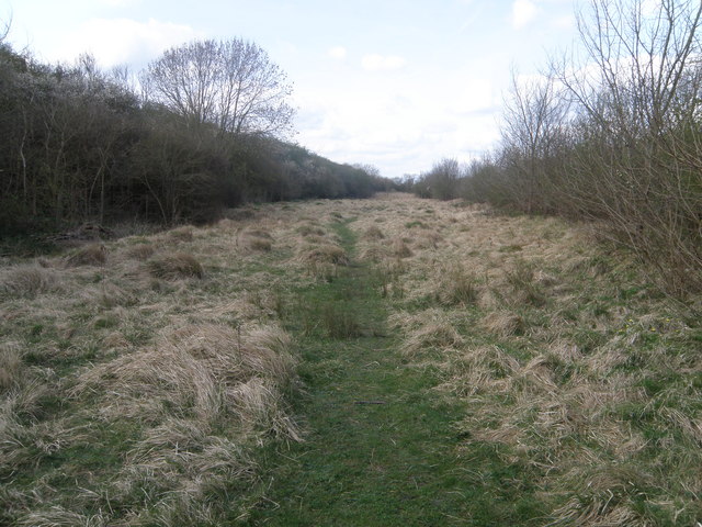
English: Wood Walton Marsh A strip of unimproved grassland between the railway embankment and the road to Church End. The Wildlife Trust http://www.wildlifetrusts.org/ manage this site and the nearby Five Arches pit nature walk. |
| Date | |
| Source | From geograph.org.uk |
| Author | Michael Trolove |
| Attribution (required by the license) | Michael Trolove / Wood Walton Marsh / |
| Camera location | | View this and other nearby images on: OpenStreetMap |
|---|
_heading:337.00&language=en)
| Object location | | View this and other nearby images on: OpenStreetMap |
|---|
_heading:337.00&language=en)
Licensing

|
This image was taken from the Geograph project collection. See this photograph's page on the Geograph website for the photographer's contact details. The copyright on this image is owned by Michael Trolove and is licensed for reuse under the Creative Commons Attribution-ShareAlike 2.0 license.
|
This file is licensed under the Creative Commons Attribution-Share Alike 2.0 Generic license.
Attribution: Michael Trolove
- You are free:
- to share – to copy, distribute and transmit the work
- to remix – to adapt the work
- Under the following conditions:
- attribution – You must give appropriate credit, provide a link to the license, and indicate if changes were made. You may do so in any reasonable manner, but not in any way that suggests the licensor endorses you or your use.
- share alike – If you remix, transform, or build upon the material, you must distribute your contributions under the same or compatible license as the original.
File history
Click on a date/time to view the file as it appeared at that time.
| Date/Time | Thumbnail | Dimensions | User | Comment | |
|---|---|---|---|---|---|
| current | 18:23, 26 February 2011 | | 640 × 480 (96 KB) | GeographBot | == {{int:filedesc}} == {{Information |description={{en|1=Wood Walton Marsh A strip of unimproved grassland between the railway embankment and the road to Church End. The Wildlife Trust http://www.wildlifetrusts.org/ manage this site and the nearby Five Ar |
File usage
The following pages on the English Wikipedia use this file (pages on other projects are not listed):
Global file usage
The following other wikis use this file:
- Usage on www.wikidata.org