
Size of this preview: 800 × 600 pixels. Other resolutions: 320 × 240 pixels | 640 × 480 pixels | 1,024 × 768 pixels | 1,280 × 960 pixels.
Original file (1,280 × 960 pixels, file size: 239 KB, MIME type: image/jpeg)
Summary
| Description |
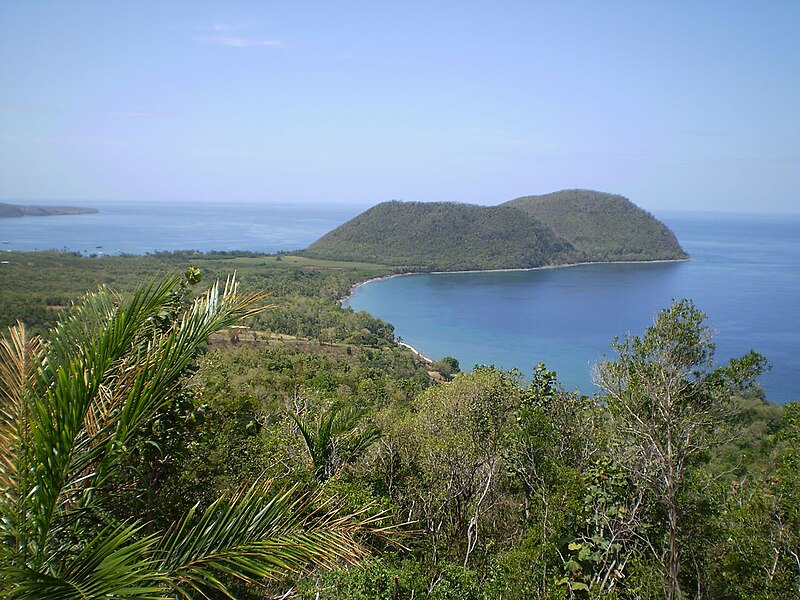
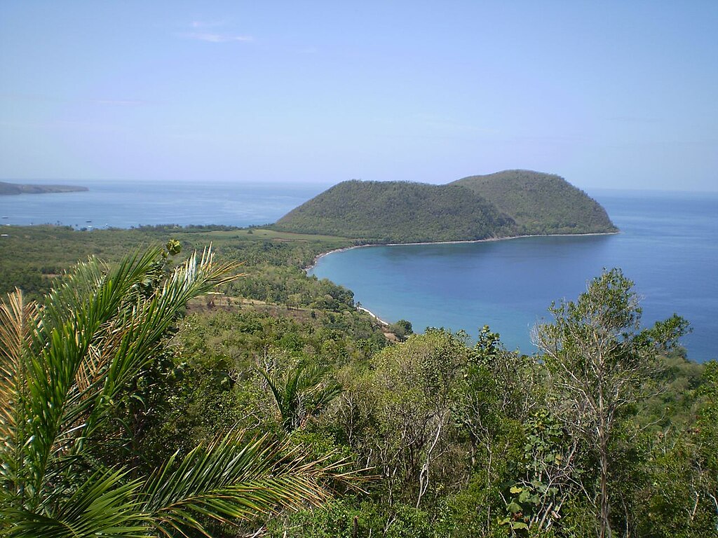
English: Douglas bay, Tanetane, Dominica. Photo taken from Manicou River Resort, Tanetane. |
| Date | |
| Source | Manicou River Resort |
| Author | Dillngerforce |
| Camera location | | View this and other nearby images on: OpenStreetMap |
|---|
Licensing
| I, the copyright holder of this work, release this work into the public domain. This applies worldwide. In some countries this may not be legally possible; if so: I grant anyone the right to use this work for any purpose, without any conditions, unless such conditions are required by law. |
| Annotations | This image is annotated: View the annotations at Commons |
File history
Click on a date/time to view the file as it appeared at that time.
| Date/Time | Thumbnail | Dimensions | User | Comment | |
|---|---|---|---|---|---|
| current | 16:14, 14 June 2010 | | 1,280 × 960 (239 KB) | Dillingerforce | {{Information |Description={{en|1=Douglas bay, Tanetane, Dominica. Photo taken from Manicou River Resort, Tanetane.}} |Source=Manicou River Resort |Author=Dillngerforce |Date=2010-01-10 |Permission= |other_versions= }} {{location|15|36|9.73|N|61|27|25.99| |
File usage
The following pages on the English Wikipedia use this file (pages on other projects are not listed):
Global file usage
The following other wikis use this file:
- Usage on ca.wikipedia.org
- Usage on de.wikipedia.org
- Usage on el.wikipedia.org
- Usage on es.wikipedia.org
- Usage on fr.wikipedia.org
- Usage on fr.wikivoyage.org
- Usage on nl.wikipedia.org
- Usage on pl.wikipedia.org
- Usage on pt.wikipedia.org
- Usage on ru.wikivoyage.org
- Usage on www.wikidata.org
- Usage on zh.wikipedia.org