Size of this preview: 800 × 532 pixels. Other resolutions: 320 × 213 pixels | 640 × 426 pixels | 1,024 × 681 pixels | 1,280 × 851 pixels | 2,560 × 1,702 pixels | 6,016 × 4,000 pixels.
Original file (6,016 × 4,000 pixels, file size: 6.28 MB, MIME type: image/jpeg)
| Camera location | | View this and other nearby images on: OpenStreetMap |
|---|
| Description |
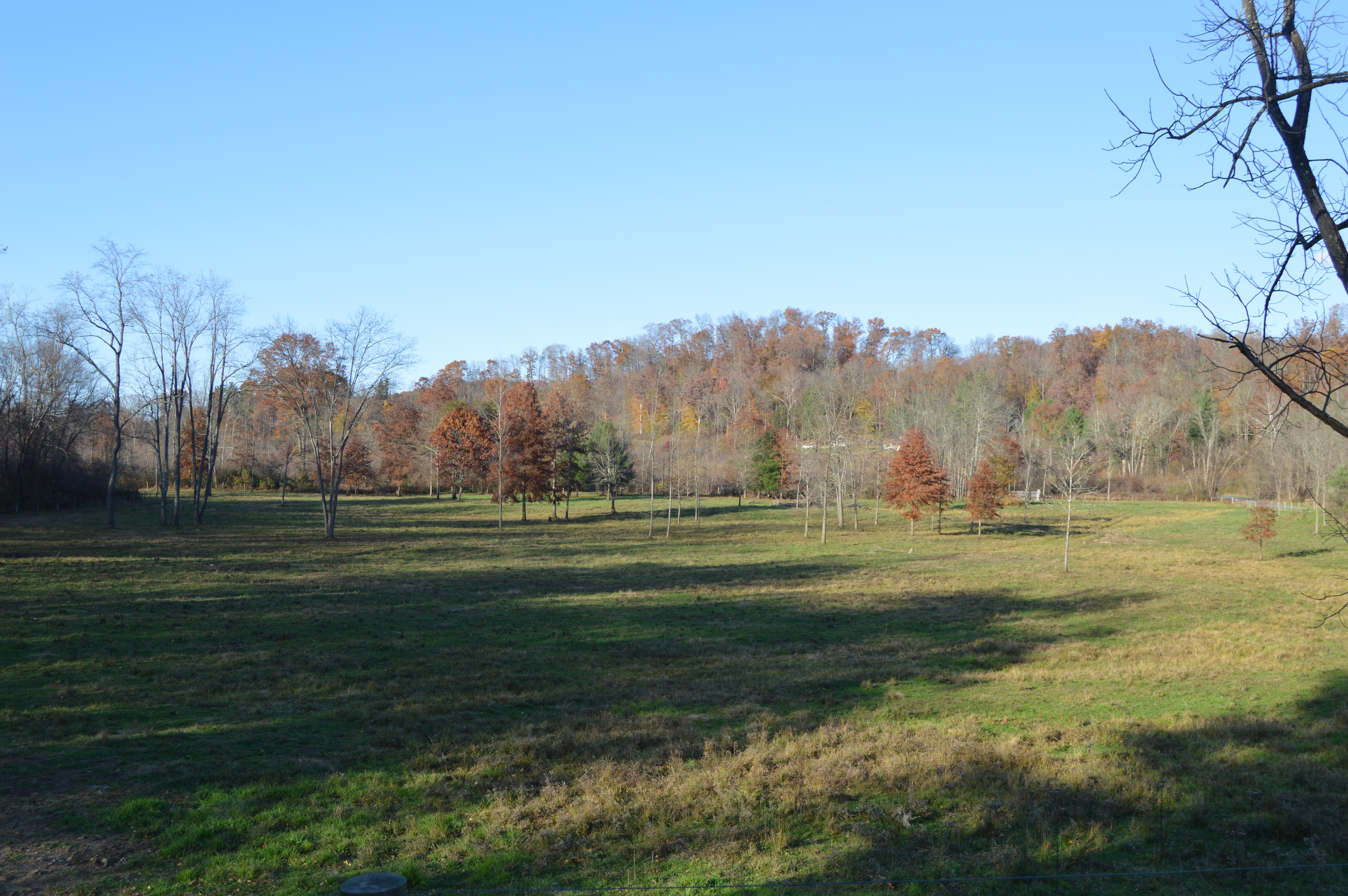
English: Fields along Myers Road north of Doanville in York Township, Athens County, Ohio, United States. |
||
| Date | Taken on 29 October 2015 | ||
| Source | Own work | ||
| Author | Nyttend | ||
| Permission (Reusing this file) |
|
File history
Click on a date/time to view the file as it appeared at that time.
| Date/Time | Thumbnail | Dimensions | User | Comment | |
|---|---|---|---|---|---|
| current | 02:46, 9 November 2015 | | 6,016 × 4,000 (6.28 MB) | Nyttend | {{Location|39|26|21.5|N|82|11|37|W}} {{Information |Description={{en|Fields along Myers Road north of {{w|Doanville, Ohio|Doanville}} in {{w|York Township, Athens County, Ohio|York Township}}, {{w|Athens County, Ohio|Athens County}}, {{w|Ohio}}, {{w|Un... |
File usage
The following pages on the English Wikipedia use this file (pages on other projects are not listed):
Global file usage
The following other wikis use this file:
- Usage on es.wikipedia.org
- Usage on eu.wikipedia.org
- Usage on fa.wikipedia.org
- Usage on pt.wikipedia.org
- Usage on vi.wikipedia.org
- Usage on www.wikidata.org