No higher resolution available.
Godley_Hall_Inn_-_geograph.org.uk_-_1471839.jpg (640 × 480 pixels, file size: 90 KB, MIME type: image/jpeg)
Summary
| Description |
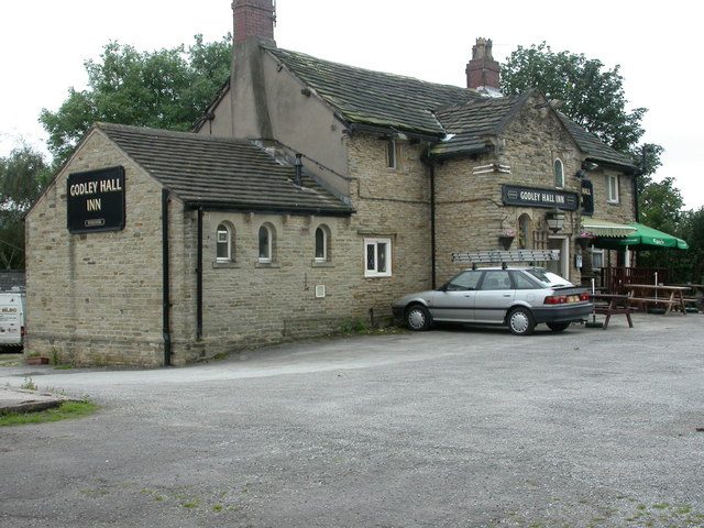
English: Godley Hall Inn Stone-built pub at the top of Godley Hill; internally, drinking/eating areas on two sides, at two levels. Cask ales on offer at my visit: Morland Old Speckled Hen, Theakston Best. |
| Date | |
| Source | From geograph.org.uk |
| Author | Mike Faherty |
| Attribution (required by the license) | Mike Faherty / Godley Hall Inn / |
| Camera location | | View this and other nearby images on: OpenStreetMap |
|---|
_heading:202.00&language=en)
| Object location | | View this and other nearby images on: OpenStreetMap |
|---|
_heading:202.00&language=en)
Licensing

|
This image was taken from the Geograph project collection. See this photograph's page on the Geograph website for the photographer's contact details. The copyright on this image is owned by Mike Faherty and is licensed for reuse under the Creative Commons Attribution-ShareAlike 2.0 license.
|
This file is licensed under the Creative Commons Attribution-Share Alike 2.0 Generic license.
Attribution: Mike Faherty
- You are free:
- to share – to copy, distribute and transmit the work
- to remix – to adapt the work
- Under the following conditions:
- attribution – You must give appropriate credit, provide a link to the license, and indicate if changes were made. You may do so in any reasonable manner, but not in any way that suggests the licensor endorses you or your use.
- share alike – If you remix, transform, or build upon the material, you must distribute your contributions under the same or compatible license as the original.
File history
Click on a date/time to view the file as it appeared at that time.
| Date/Time | Thumbnail | Dimensions | User | Comment | |
|---|---|---|---|---|---|
| current | 11:55, 2 March 2011 | | 640 × 480 (90 KB) | GeographBot | == {{int:filedesc}} == {{Information |description={{en|1=Godley Hall Inn Stone-built pub at the top of Godley Hill; internally, drinking/eating areas on two sides, at two levels. Cask ales on offer at my visit: Morland Old Speckled Hen, Theakston Best.}} |
File usage
The following pages on the English Wikipedia use this file (pages on other projects are not listed):