No higher resolution available.
Aeropuerto_Internacional_de_Guadalajara_location_map.png (665 × 448 pixels, file size: 154 KB, MIME type: image/png)
Summary
| Description |
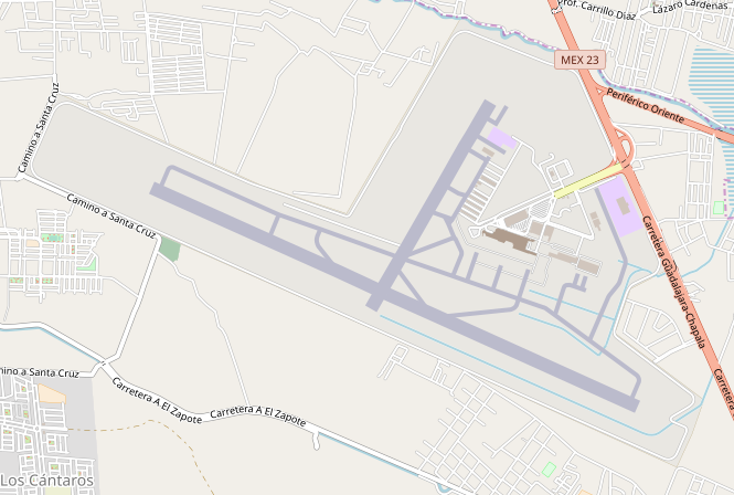
Location Map of Aeropuerto Internacional de Guadalajara. [1] |
| Date | |
| Source | OpenStreetmap |
| Author | Elvatomasvato |
Licensing
I, the copyright holder of this work, hereby publish it under the following license:
| I, the copyright holder of this work, release this work into the public domain. This applies worldwide. In some countries this may not be legally possible; if so: I grant anyone the right to use this work for any purpose, without any conditions, unless such conditions are required by law. |
File history
Click on a date/time to view the file as it appeared at that time.
| Date/Time | Thumbnail | Dimensions | User | Comment | |
|---|---|---|---|---|---|
| current | 19:12, 10 October 2018 | | 665 × 448 (154 KB) | Elvatomasvato | User created page with UploadWizard |
File usage
The following pages on the English Wikipedia use this file (pages on other projects are not listed):
Global file usage
The following other wikis use this file:
- Usage on af.wikipedia.org