
Size of this preview: 800 × 600 pixels. Other resolutions: 320 × 240 pixels | 640 × 480 pixels | 1,024 × 768 pixels | 1,280 × 960 pixels | 2,560 × 1,920 pixels | 4,608 × 3,456 pixels.
Original file (4,608 × 3,456 pixels, file size: 6.85 MB, MIME type: image/jpeg)
Summary
| Description |
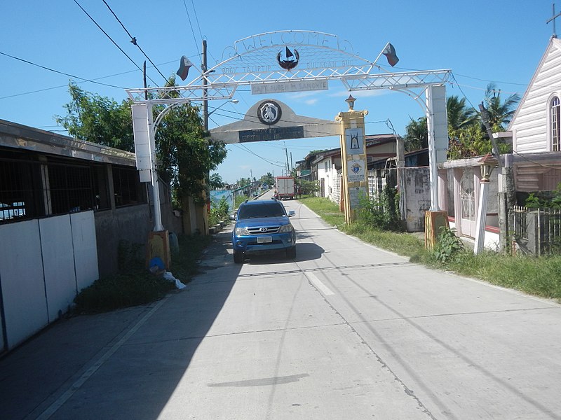
English: Taliptip-Ubihan Bridge Backfilling-upgrading of Taliptip, Bulakan - Tawiran, Obando, Bulacan Road Hitachi UH02 Bamboos in the Philippines Mangroves, nipa trees plantations, migratory birds and fishponds in the River banks of Ubihan, Mecauayan, Bulacan River Districts Barangays Taliptip 14°44'48"N 120°52'53"E Bulacan, Bulacan and Barangay Ubihan 14°45'20"N 120°54'58"E Bridge 14°45'8"N 120°54'35"E Sitio Asana 14°45'23"N 120°55'3"E Meycauayan City Taliptip Bridge (accessed from MacArthur Highway or Manila North Road interconnecting with Cagayan Valley Road, Baliuag-Pulilan-Guiguinto, Bulacan, Pan-Philippine Highway, also known as the Maharlika "Nobility/freeman" Highway) (Note: Judge Florentino Floro, the owner, to repeat, Donor Florentino Floro of all these photos hereby donate gratuitously, freely and unconditionally all these photos to and for Wikimedia Commons, exclusively, for public use of the public domain, and again without any condition whatsoever). |
| Date | |
| Source | Own work |
| Author | Judgefloro |
| Camera location | | View this and other nearby images on: OpenStreetMap |
|---|
Ubihan 14°45'20"N 120°54'58"E
Licensing
I, the copyright holder of this work, hereby publish it under the following license:
| This file is made available under the Creative Commons CC0 1.0 Universal Public Domain Dedication. | |
| The person who associated a work with this deed has dedicated the work to the public domain by waiving all of their rights to the work worldwide under copyright law, including all related and neighboring rights, to the extent allowed by law. You can copy, modify, distribute and perform the work, even for commercial purposes, all without asking permission.
|
File history
Click on a date/time to view the file as it appeared at that time.
| Date/Time | Thumbnail | Dimensions | User | Comment | |
|---|---|---|---|---|---|
| current | 17:47, 8 September 2017 | | 4,608 × 3,456 (6.85 MB) | Judgefloro | User created page with UploadWizard |
File usage
The following pages on the English Wikipedia use this file (pages on other projects are not listed):