
Size of this PNG preview of this SVG file: 295 × 600 pixels. Other resolutions: 118 × 240 pixels | 236 × 480 pixels | 378 × 768 pixels | 504 × 1,024 pixels | 1,007 × 2,048 pixels | 772 × 1,569 pixels.
Original file (SVG file, nominally 772 × 1,569 pixels, file size: 193 KB)
Summary
| Description |
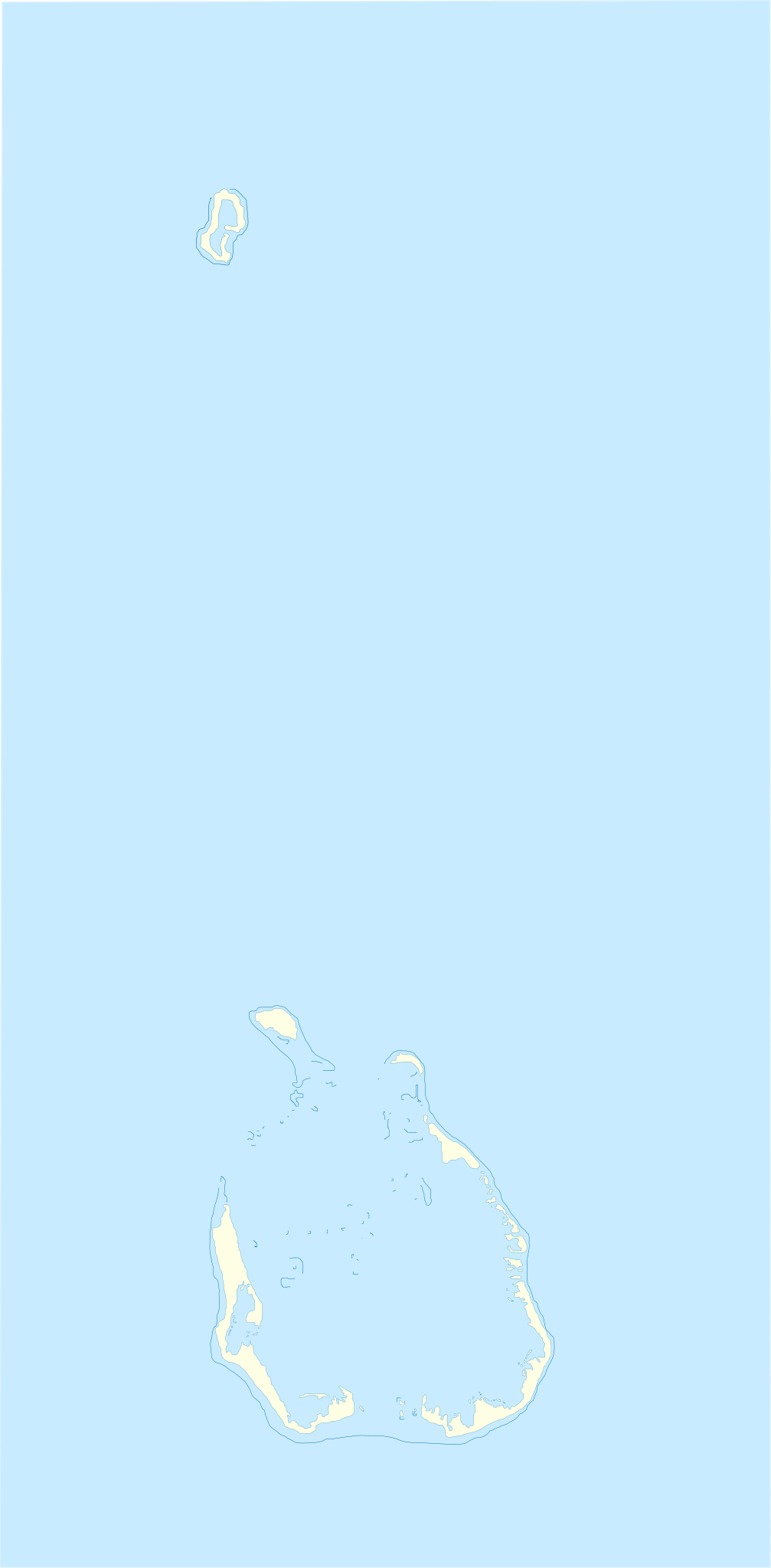
English: Location map of Cocos_(Keeling)_Islands
Equirectangular projection. Geographic limits of the map:
Français : Carte de localisation des Îles Cocos
projection equirectangulaire. Les limites géographiques sont
|
| Date | |
| Source | Own work |
| Author | Xfigpower |
la vectorisation à main levée s'est appuyé sur Image:Cocos(keeling)_76.jpg
_76.jpg)
Licensing
I, the copyright holder of this work, hereby publish it under the following licenses:

|
Permission is granted to copy, distribute and/or modify this document under the terms of the GNU Free Documentation License, Version 1.2 or any later version published by the Free Software Foundation; with no Invariant Sections, no Front-Cover Texts, and no Back-Cover Texts. A copy of the license is included in the section entitled GNU Free Documentation License. |
This file is licensed under the Creative Commons Attribution 3.0 Unported license.
- You are free:
- to share – to copy, distribute and transmit the work
- to remix – to adapt the work
- Under the following conditions:
- attribution – You must give appropriate credit, provide a link to the license, and indicate if changes were made. You may do so in any reasonable manner, but not in any way that suggests the licensor endorses you or your use.
You may select the license of your choice.
File history
Click on a date/time to view the file as it appeared at that time.
| Date/Time | Thumbnail | Dimensions | User | Comment | |
|---|---|---|---|---|---|
| current | 10:17, 4 August 2010 | | 772 × 1,569 (193 KB) | Xfigpower | {{Information |Description={{en|1=Location map of Cocos_(Keeling)_Islands}} Equirectangular projection. Geographic limits of the map: * N: 11°45' S * S: 12°15' S * W: 96°45' E * E: 97°00 E}} {{fr|1=Carte de lo |
File usage
The following pages on the English Wikipedia use this file (pages on other projects are not listed):
- Bantam, Cocos (Keeling) Islands
- Cocos (Keeling) Islands Airport
- Home Island
- South Island, Cocos (Keeling) Islands
- West Island, Cocos (Keeling) Islands
- User:Michael!/Project:Location map templates/Australia
- Module:Location map/data/Australia Cocos (Keeling) Islands
- Module:Location map/data/Australia Cocos (Keeling) Islands/doc
Global file usage
The following other wikis use this file:
- Usage on af.wikipedia.org
- Usage on an.wikipedia.org
- Usage on ar.wikipedia.org
- Usage on ast.wikipedia.org
- Usage on ba.wikipedia.org
- Usage on bn.wikipedia.org
- Usage on bs.wikipedia.org
- Usage on ceb.wikipedia.org
- Plantilya:Location map Cocos (Keeling) Islands
- West Cay
- East Cay
- Ross Island
- Ross
- Selma
- North Lagoon
- South Island
- Western Entrance
- West Island
- Wreck Point
- Possession Point
- Direction Island
- Gooseberry Island
- Burial Island
- Burton Point
- Home Island
- Prison Island
- Selma Island
- Cocos Islands (pagklaro)
- Keeling Islands
- Pulo Panjang
- Ujong Tanjong
- Port Refuge
- Teluk Jambu
- Pulo Maria
- Horsburgh Island
- Pulu Belan
- Telok Semberang
- Cocos Islands
- Wreck Point (punta sa Kapupud-ang Cocos)
- Workhouse Island
- Gumagamit:Lsjbot/Duplicates/Cocos Islands (kapuloan sa Cocos Islands, lat -12,00, long 96,83)
- West Island (pulo sa Kapupud-ang Cocos, lat -12,18, long 96,83)
- Western Entrance (agianan nga nabigasyon)
- Turk Reef
- Ujong Tanjong (punta sa Kapupud-ang Cocos)
- South Lagoon (lanaw sa Kapupud-ang Cocos)
- South Keeling Islands
View more global usage of this file.
_Islands_location_map.svg)