Size of this preview: 449 × 599 pixels. Other resolutions: 180 × 240 pixels | 360 × 480 pixels | 576 × 768 pixels | 768 × 1,024 pixels | 1,535 × 2,048 pixels | 3,630 × 4,842 pixels.
Original file (3,630 × 4,842 pixels, file size: 5.2 MB, MIME type: image/jpeg)
Summary
| Description |
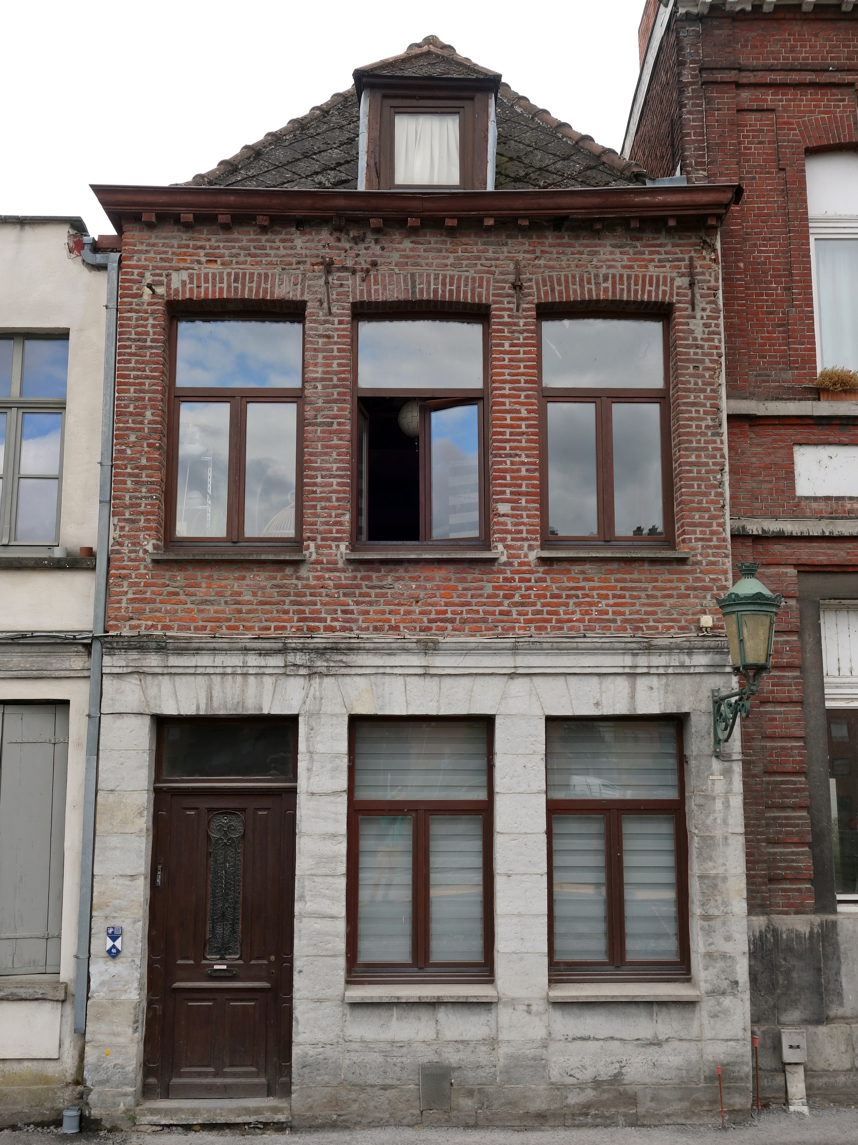
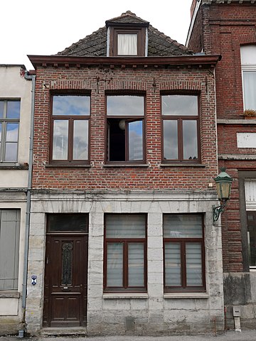
Français : Les façades, les charpentes et les toitures de l'immeuble sis quai Taille-Pierres, nº 17.
Cette maison forme avec ses deux voisines, les nos 18 et 19, un ensemble du début du XIXe siècle. Cette formation symétrique d'ensembles se présente outre la partie centrale, de deux habitations de trois travées de trois travées s’élevant sur deux niveaux. Le numéro 17, partie latérale droite de cet ensemble, jouxte un haut portail cintré (nº 18). Il est composé d’un rez-de-chaussée en pierre appareillée et d’un étage en briques sous une corniche en bois sur mutules supportant une toiture à croupe frontale de tuiles percée d’une lucarne à croupe. Réf : http://qrwallonie.be/TOURN166
|
||
| Date | |||
| Source | Own work | ||
| Author | Jpcuvelier |
| Camera location | | View this and other nearby images on: OpenStreetMap |
|---|
_%E2%80%94_Quai_Taille-Pierres,_n%C2%BA_17.jpg¶ms=050.603605_N_0003.397136_E_globe:Earth_type:camera__&language=en)
Licensing
I, the copyright holder of this work, hereby publish it under the following license:
This file is licensed under the Creative Commons Attribution-Share Alike 4.0 International license.
- You are free:
- to share – to copy, distribute and transmit the work
- to remix – to adapt the work
- Under the following conditions:
- attribution – You must give appropriate credit, provide a link to the license, and indicate if changes were made. You may do so in any reasonable manner, but not in any way that suggests the licensor endorses you or your use.
- share alike – If you remix, transform, or build upon the material, you must distribute your contributions under the same or compatible license as the original.
File history
Click on a date/time to view the file as it appeared at that time.
| Date/Time | Thumbnail | Dimensions | User | Comment | |
|---|---|---|---|---|---|
| current | 20:54, 26 August 2020 | | 3,630 × 4,842 (5.2 MB) | Jpcuvelier | Uploaded own work with UploadWizard |
File usage
The following pages on the English Wikipedia use this file (pages on other projects are not listed):
Global file usage
The following other wikis use this file:
- Usage on fr.wikipedia.org
- Usage on nl.wikipedia.org
_%E2%80%94_Quai_Taille-Pierres,_n%C2%BA_17.jpg)