
Size of this PNG preview of this SVG file: 612 × 600 pixels. Other resolutions: 245 × 240 pixels | 490 × 480 pixels | 784 × 768 pixels | 1,045 × 1,024 pixels | 2,091 × 2,048 pixels | 2,556 × 2,504 pixels.
Original file (SVG file, nominally 2,556 × 2,504 pixels, file size: 384 KB)
W3C-validity not checked.
| Description |
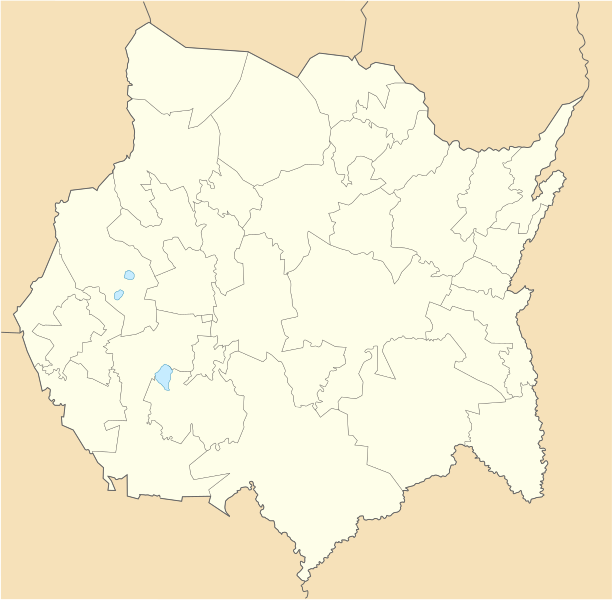
Location Map of Morelos Equirectangular projection, Geographic limits of the map:
|
| Date | |
| Source | Own work |
| Author | Battroid (talk) |
I, the copyright holder of this work, hereby publish it under the following license:
| I, the copyright holder of this work, release this work into the public domain. This applies worldwide. In some countries this may not be legally possible; if so: I grant anyone the right to use this work for any purpose, without any conditions, unless such conditions are required by law. |
File history
Click on a date/time to view the file as it appeared at that time.
| Date/Time | Thumbnail | Dimensions | User | Comment | |
|---|---|---|---|---|---|
| current | 05:56, 9 August 2011 | | 2,556 × 2,504 (384 KB) | Battroid | {{ValidSVG}} {{Information |Description=Location Map of Morelos Equirectangular projection, Geographic limits of the map: * N: 19.16° N * S: 18.30° N * W: 99.51° W * E: 98.58° W |Source={{own work}} |Date=2011-08-08 |Author=[[User:Batt |
File usage
The following pages on the English Wikipedia use this file (pages on other projects are not listed):
- 2010–11 Tercera División de México season
- 2011–12 Tercera División de México season
- 2012–13 Tercera División de México season
- 2013–14 Tercera División de México season
- 2014–15 Tercera División de México season
- 2015–16 Tercera División de México season
- 2016–17 Tercera División de México season
- 2017–18 Tercera División de México season
- 2022–23 Liga TDP season
- 2023–24 Liga TDP season
- Anenecuilco
- Ciudad Ayala
- Colegio Suizo de México
- Cuautla, Morelos
- Cuernavaca
- Cuernavaca Airport
- Cuernavaca Municipality
- Jiutepec
- Lycée Franco-Mexicain
- Santa María Ahuacatitlán
- Temixco
- Tepoztlán
- Tetecala
- Tlalnepantla, Morelos
- Totolapan
- Xoxocotla, Morelos
- Yecapixtla
- Module:Location map/data/Mexico Morelos
- Module:Location map/data/Mexico Morelos/doc
Global file usage
The following other wikis use this file:
- Usage on ar.wikipedia.org
- Usage on ba.wikipedia.org
- Usage on bg.wikipedia.org
- Usage on ceb.wikipedia.org
- Usage on ce.wikipedia.org
- Usage on de.wikipedia.org
- Cuernavaca
- Tepoztlán
- Ciudad Ayala
- Cuautla
- Wikipedia:Kartenwerkstatt/Positionskarten/Nordamerika
- Oaxtepec
- Zacatepec de Hidalgo
- Yautepec de Zaragoza
- Xochitepec
- Jiutepec
- Vorlage:Positionskarte Mexiko Morelos
- Estadio Centenario (Cuernavaca)
- Estadio Agustín Coruco Díaz
- Estadio Mariano Matamoros
- Estadio Unidad Deportiva del IMSS
- Tetela del Volcán
- Yecapixtla
- Tlayacapan
- Usage on eo.wikipedia.org
- Usage on es.wikipedia.org
- Usage on fa.wikipedia.org
- Usage on fr.wikipedia.org
- Usage on he.wikipedia.org
- Usage on hu.wikipedia.org
View more global usage of this file.