Original file (3,264 × 2,448 pixels, file size: 2.2 MB, MIME type: image/jpeg)
Summary
| Description |
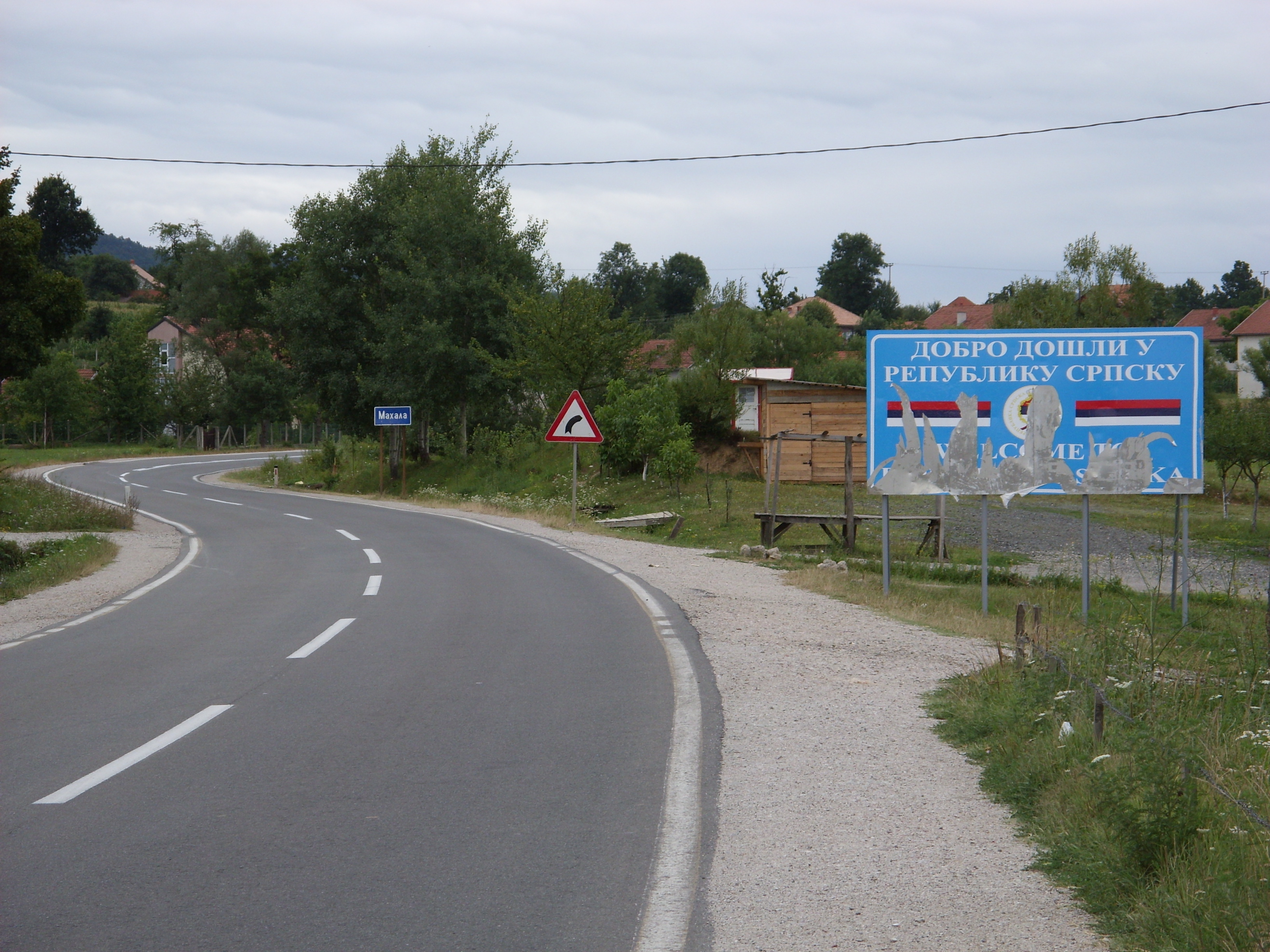
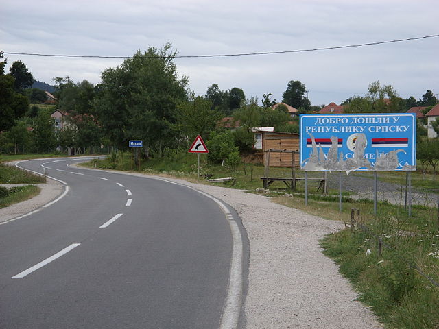
Deutsch: Die innerbosnische Entitätengrenze - Einfahrt in die "Republika Srpska" beim Ort Mahala zwischen Kalesija und Zvornik.
English: Inner-Bosnian border - Entrance to "Republika Srpska" near Mahala between Kalesija and Zvornik.
Hornjoserbsce: Nutřkowna bosniska hranica - Zajězd do "Republiki Srpskeje" blisko Mahaly mjez Kalesiju a Zvornikom. |
||
| Date | |||
| Source | Own work | ||
| Author | Julian Nyča | ||
| Permission (Reusing this file) |
 Die kostenlose Weiternutzung dieses Bildes, insbesondere kommerzieller Natur, ist im Sinne der unten genannten Lizenz nur unter folgender Bedingung gestattet:
Durch die Bildnutzung erklären Sie sich mit den Lizenzbedingungen einverstanden. Im Falle eines Verstoßes gegen die Lizenzbedingungen erlöschen die Nutzungsrechte automatisch. Ich behalte mir vor, in diesem Fall ein nachträgliches Nutzungsentgelt in Rechnung zu stellen. Werden größere Versionen des Bildes oder eine Nutzung ohne Namensnennung gewünscht, bitte vorher hier anfragen!
 Bjezpłatne dalewužiwanje tutoho wobraza, wosebje komercielneho razu, je w zmysle podateje licency jenož pod slědowacym wuměnjenjom dowolene:
Z wužiwanjom wobraza akceptujeće licencowe wuměnjenja. W padźe zranjenja licencowych wuměnjenjow wužiwanske prawo awtomatisce zhubiće.
Weitere Bilder von Julian Nyča: alle – nur aus dem Album Bosnia and Herzegovina – nur von 2008 Kontakt für Anfragen: julian.nyca (at) luzica.la
|
| Camera location | | View this and other nearby images on: OpenStreetMap |
|---|
Licensing

|
Permission is granted to copy, distribute and/or modify this document under the terms of the GNU Free Documentation License, Version 1.2 or any later version published by the Free Software Foundation; with no Invariant Sections, no Front-Cover Texts, and no Back-Cover Texts. A copy of the license is included in the section entitled GNU Free Documentation License. |
- You are free:
- to share – to copy, distribute and transmit the work
- to remix – to adapt the work
- Under the following conditions:
- attribution – You must give appropriate credit, provide a link to the license, and indicate if changes were made. You may do so in any reasonable manner, but not in any way that suggests the licensor endorses you or your use.
File history
Click on a date/time to view the file as it appeared at that time.
| Date/Time | Thumbnail | Dimensions | User | Comment | |
|---|---|---|---|---|---|
| current | 19:16, 31 January 2011 | | 3,264 × 2,448 (2.2 MB) | J budissin | {{Information |Description= {{de|Die innerbosnische Entitätengrenze - Einfahrt in die "Republika Srpska" beim Ort Mahala zwischen Kalesija und Zvornik.}} {{en|Inner-Bosnian border - Entrance to "[ |
File usage
Global file usage
The following other wikis use this file:
- Usage on ar.wikipedia.org
- Usage on bs.wikipedia.org
- Usage on de.wikipedia.org
- Usage on nl.wikipedia.org
- Usage on pt.wikipedia.org
- Usage on sh.wikipedia.org
- Usage on sr.wikipedia.org
- Usage on www.wikidata.org