Size of this preview: 800 × 572 pixels. Other resolutions: 320 × 229 pixels | 640 × 457 pixels | 1,024 × 732 pixels | 1,280 × 915 pixels | 2,560 × 1,830 pixels | 5,107 × 3,650 pixels.
Original file (5,107 × 3,650 pixels, file size: 2.48 MB, MIME type: image/jpeg)
Summary
| Description |
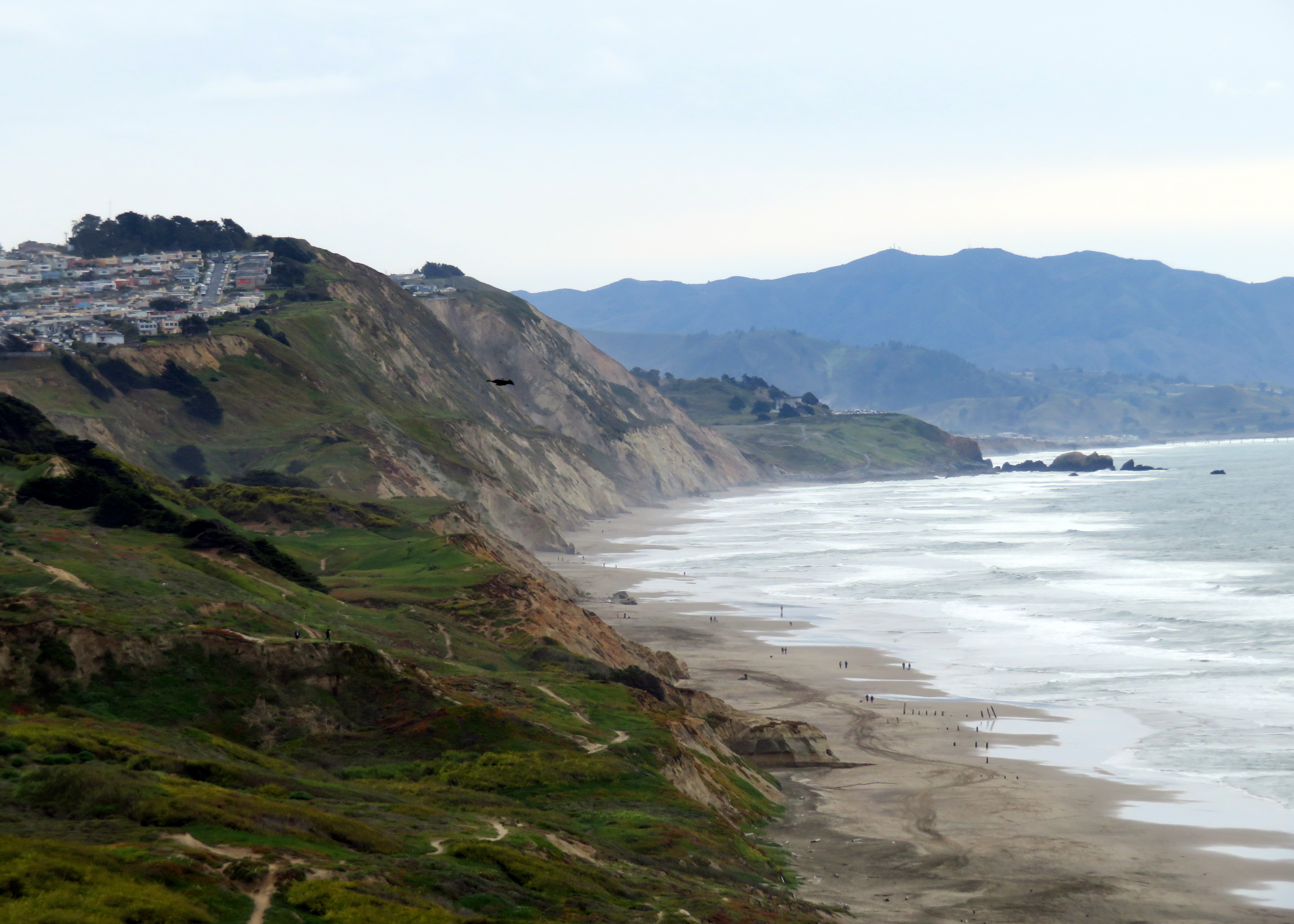
English: Cliffs along Thornton State Beach in March 2020. Parts of a flat right-of-way - first the Ocean Shore Railroad, then a road - can be traced along the bare cliffs. |
| Date | Taken on 8 March 2020 |
| Source | Own work |
| Author | Pi.1415926535 |
| Camera location | | View this and other nearby images on: OpenStreetMap |
|---|
Licensing
I, the copyright holder of this work, hereby publish it under the following licenses:
This file is licensed under the Creative Commons Attribution-Share Alike 3.0 Unported license.
- You are free:
- to share – to copy, distribute and transmit the work
- to remix – to adapt the work
- Under the following conditions:
- attribution – You must give appropriate credit, provide a link to the license, and indicate if changes were made. You may do so in any reasonable manner, but not in any way that suggests the licensor endorses you or your use.
- share alike – If you remix, transform, or build upon the material, you must distribute your contributions under the same or compatible license as the original.

|
Permission is granted to copy, distribute and/or modify this document under the terms of the GNU Free Documentation License, Version 1.2 or any later version published by the Free Software Foundation; with no Invariant Sections, no Front-Cover Texts, and no Back-Cover Texts. A copy of the license is included in the section entitled GNU Free Documentation License. |
You may select the license of your choice.
File history
Click on a date/time to view the file as it appeared at that time.
| Date/Time | Thumbnail | Dimensions | User | Comment | |
|---|---|---|---|---|---|
| current | 04:59, 5 April 2020 | | 5,107 × 3,650 (2.48 MB) | Pi.1415926535 | == {{int:filedesc}} == {{Information |Description ={{en|1=Cliffs along Thornton State Beach in March 2020. Parts of a flat right-of-way - first the Ocean Shore Railroad, then a road - can be traced along the bare cliffs.}} |Source ={{own}} |Author =Pi.1415926535 |Date ={{taken on|2020-03-08}} |Permission = |other_versions = }} {{Location|37.71342|-122.502708|heading:SSE}} == {{int:license-header}} == {{self|cc-by-sa-3.0|GFDL}} [[Catego... |
File usage
The following pages on the English Wikipedia use this file (pages on other projects are not listed):