Size of this preview: 800 × 533 pixels. Other resolutions: 320 × 213 pixels | 640 × 427 pixels | 1,024 × 683 pixels | 1,280 × 854 pixels | 2,500 × 1,667 pixels.
Original file (2,500 × 1,667 pixels, file size: 2.13 MB, MIME type: image/jpeg)
Summary
| Description |
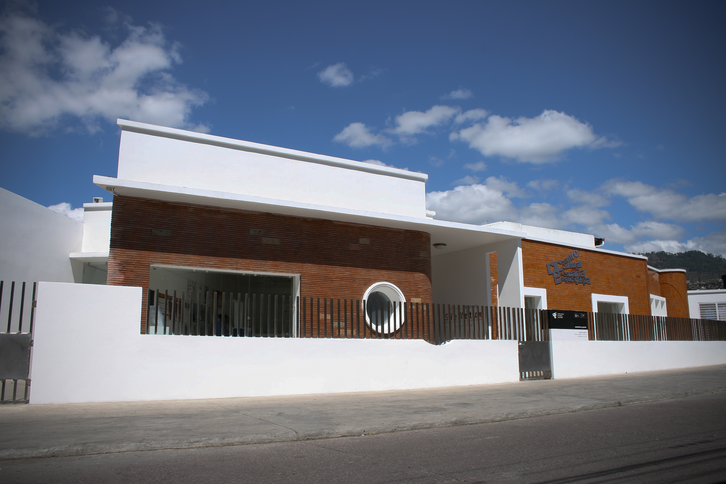
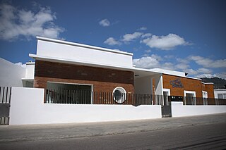
Español: Fachada del CCET |
| Source | Own work |
| Author | Urteca |
| Camera location | | View this and other nearby images on: OpenStreetMap |
|---|
Licensing
| I, the copyright holder of this work, release this work into the public domain. This applies worldwide. In some countries this may not be legally possible; if so: I grant anyone the right to use this work for any purpose, without any conditions, unless such conditions are required by law. |
File history
Click on a date/time to view the file as it appeared at that time.
| Date/Time | Thumbnail | Dimensions | User | Comment | |
|---|---|---|---|---|---|
| current | 01:50, 21 March 2009 | | 2,500 × 1,667 (2.13 MB) | Urteca | {{Information |Description={{es|1=Fachada del CCET}} |Source=Own work by uploader |Author=Urteca |Date= |Permission= |other_versions= }} <!--{{ImageUpload|full}}--> |
File usage
The following pages on the English Wikipedia use this file (pages on other projects are not listed):
Global file usage
The following other wikis use this file:
- Usage on ast.wikipedia.org
- Usage on da.wikipedia.org
- Usage on es.wikipedia.org
- Tegucigalpa
- Centro Cultural de España en Tegucigalpa
- Usuario:Ccet
- Centro Cultural de España
- Categoría:Relaciones España-Honduras
- Categoría:Embajadores de España en Honduras
- Anexo:Embajadores de España en Honduras
- Inmigración española en Honduras
- Relaciones España-Honduras
- Embajada de España en Honduras
- Usage on he.wikipedia.org
- Usage on ru.wikipedia.org
- Usage on www.wikidata.org