Size of this preview: 469 × 600 pixels. Other resolutions: 188 × 240 pixels | 375 × 480 pixels | 601 × 768 pixels | 801 × 1,024 pixels | 1,602 × 2,048 pixels | 3,088 × 3,948 pixels.
Original file (3,088 × 3,948 pixels, file size: 659 KB, MIME type: image/jpeg)
Summary
| Description |
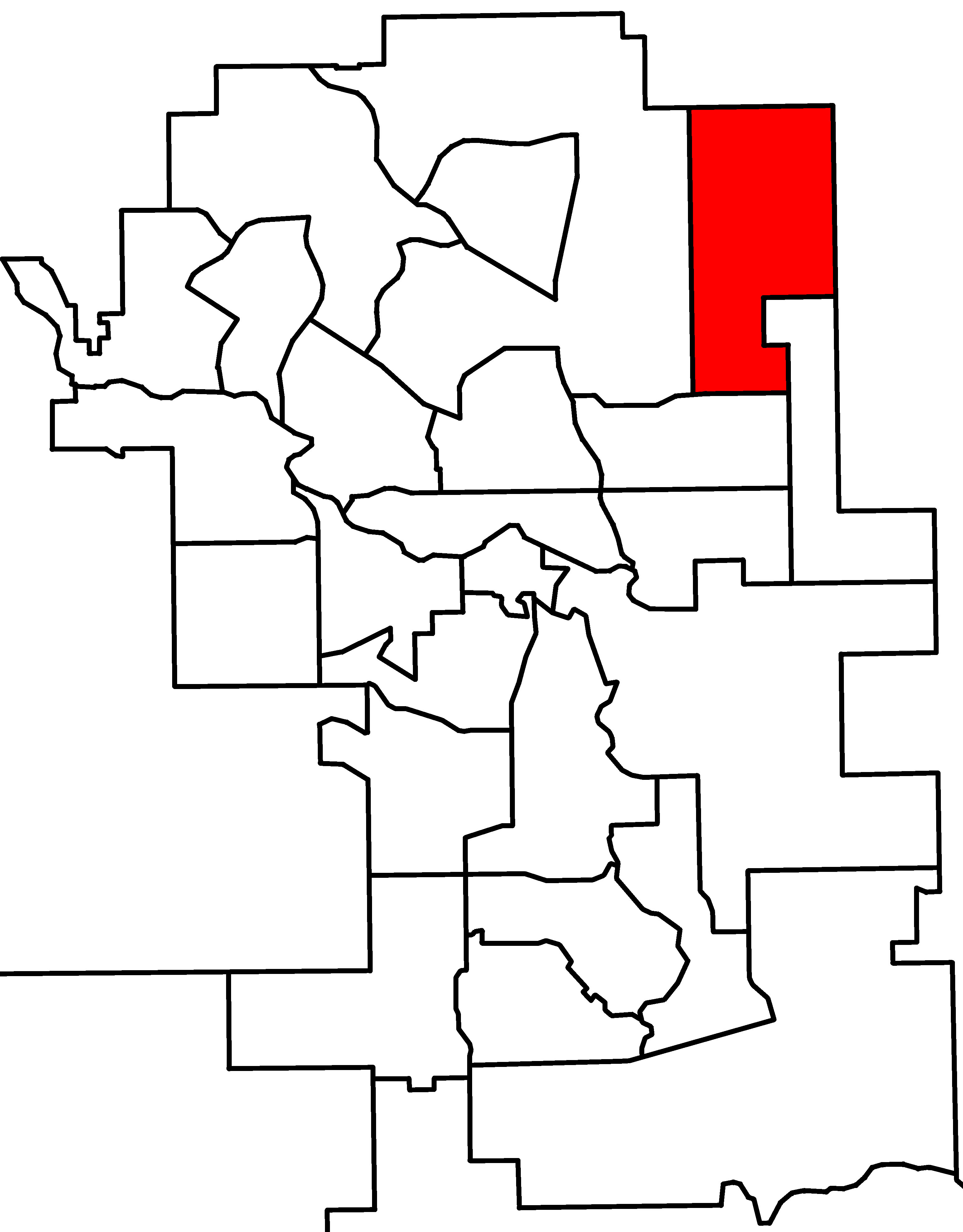
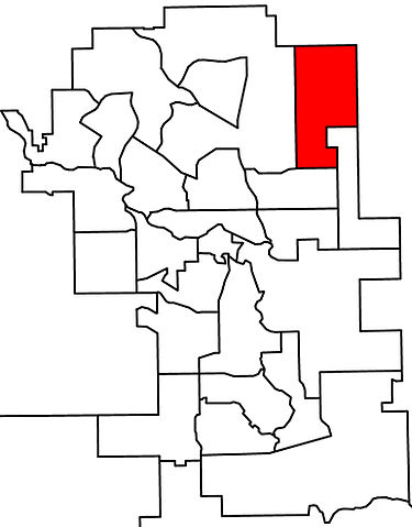
English: A map of Alberta provincial electoral districts, effective 2010, in the Calgary area. Calgary-McCall is highlighted in red. |
| Date | |
| Source | http://www.elections.ab.ca/Public%20Website/1283.htm |
| Author | Own work |
Licensing
| I, the copyright holder of this work, release this work into the public domain. This applies worldwide. In some countries this may not be legally possible; if so: I grant anyone the right to use this work for any purpose, without any conditions, unless such conditions are required by law. |
File history
Click on a date/time to view the file as it appeared at that time.
| Date/Time | Thumbnail | Dimensions | User | Comment | |
|---|---|---|---|---|---|
| current | 06:54, 14 February 2012 | | 3,088 × 3,948 (659 KB) | 117Avenue | {{Information |Description ={{en|1=A map of Alberta provincial electoral districts, effective 2010, in the Calgary area. Calgary—McCall is highlighted in red.}} |Source |
File usage
The following pages on the English Wikipedia use this file (pages on other projects are not listed):