
Size of this preview: 800 × 600 pixels. Other resolutions: 320 × 240 pixels | 640 × 480 pixels | 1,024 × 768 pixels | 1,280 × 960 pixels | 1,632 × 1,224 pixels.
Original file (1,632 × 1,224 pixels, file size: 536 KB, MIME type: image/jpeg)
|
This is an image of a place or building that is listed on the National Register of Historic Places in the United States of America. Its reference number is 80003462. |
Summary
| Description |
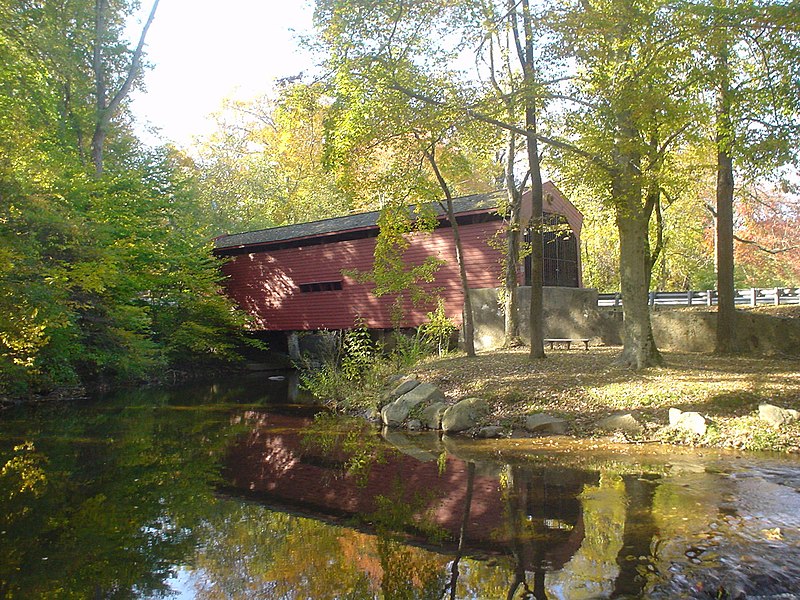
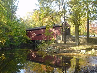
English: Bartram Covered Bridge NRHP spans Crum Creek and Chester County (Willistown Twnship) and Newtown Township, Delaware County (aka Newtown Square). |
| Date | 21 October 2009 (original upload date) |
| Source |
Own work (Original caption: " This is my own work and I donate it to the Public Domain. ") |
| Author | User:Smallbones at English Wikipedia. |
| Camera location | | View this and other nearby images on: OpenStreetMap |
|---|
Licensing
| This work has been released into the public domain by its author, Smallbones at English Wikipedia. This applies worldwide. In some countries this may not be legally possible; if so: Smallbones grants anyone the right to use this work for any purpose, without any conditions, unless such conditions are required by law. |
Original upload log
The original description page was here. All following user names refer to en.wikipedia.
- 2009-10-21 20:13 Smallbones 1632×1224× (549307 bytes) Bartram Covered Bridge NRHP spans Crum Creek and Chester County (Willistown Twnship) and Newtown Township, Delaware County (aka Newtown Square). This is my own work and I donate it to the Public Domain.
File history
Click on a date/time to view the file as it appeared at that time.
| Date/Time | Thumbnail | Dimensions | User | Comment | |
|---|---|---|---|---|---|
| current | 14:48, 18 November 2011 | | 1,632 × 1,224 (536 KB) | File Upload Bot (Magnus Manske) | {{BotMoveToCommons|en.wikipedia|year={{subst:CURRENTYEAR}}|month={{subst:CURRENTMONTHNAME}}|day={{subst:CURRENTDAY}}}} {{Information |Description={{en|Bartram Covered Bridge NRHP spans Crum Creek and Chester County (Willistown Twnship) and Newtown Townsh |
File usage
The following pages on the English Wikipedia use this file (pages on other projects are not listed):
- List of covered bridges on the National Register of Historic Places in Pennsylvania
- National Register of Historic Places listings in Delaware County, Pennsylvania
- National Register of Historic Places listings in eastern Chester County, Pennsylvania
- User:Ellin Beltz
- User:Rhvanwinkle
- User:Smallbones/NorthCC
- User:Smallbones/userbox2
- User talk:Ellin Beltz/Archive 1
- User talk:Nytasi
- User talk:Renelibrary
Global file usage
The following other wikis use this file:
- Usage on www.wikidata.org