
Size of this preview: 750 × 599 pixels. Other resolutions: 300 × 240 pixels | 601 × 480 pixels | 961 × 768 pixels | 1,280 × 1,023 pixels | 2,365 × 1,890 pixels.
Original file (2,365 × 1,890 pixels, file size: 1.93 MB, MIME type: image/jpeg)
| Description |
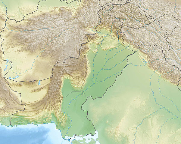
Deutsch: Physische Positionskarte von Pakistan
Quadratische Plattkarte, N-S-Streckung 115 %. Geographische Begrenzung der Karte:
English: Physical location map of Pakistan
Equirectangular projection, N/S stretching 115 %. Geographic limits of the map:
|
| Date | |
| Source |
Own work, using
|
| Author | Carport |
| Permission (Reusing this file) |
This file is licensed under the Creative Commons Attribution-Share Alike 3.0 Unported license.
|
| Other versions |
|

File history
Click on a date/time to view the file as it appeared at that time.
| Date/Time | Thumbnail | Dimensions | User | Comment | |
|---|---|---|---|---|---|
| current | 22:44, 14 December 2012 | | 2,365 × 1,890 (1.93 MB) | Carport | {{Information |Description= {{de|Physische Positionskarte von Pakistan}} Quadratische Plattkarte, N-S-Streckung 115 %. Geographische Begrenzung der Karte: * N: 37.3° N * S: 23.4° N * W: 60.5° O * O: 80.5° O {{en|Physical location m... |
File usage
More than 100 pages use this file. The following list shows the first 100 pages that use this file only. A full list is available.
- 1935 Quetta earthquake
- 1945 Balochistan earthquake
- 1974 Pattan earthquake
- Ayubia National Park
- Babusar Pass
- Baintha Brakk
- Bala Hissar, Peshawar
- Baltistan Wildlife Sanctuary
- Baltoro Glacier
- Bannu
- Battle of Ramnagar
- Battle of the Indus
- Batura Muztagh
- Batura Sar
- Bhong Mosque
- Biafo Glacier
- Bolan Pass
- Borith Lake
- Broghil Pass
- Buner reliefs
- Buni Zom
- Chagai Hills
- Chakdara
- Charsadda
- Chashma Barrage
- Chitarwata Formation
- Chogolisa
- Dalbandin
- Diran
- Distaghil Sar
- Dorah Pass
- Falak Sar (Swat)
- Gandhara
- Ganweriwal
- Gasherbrum IV
- Geography of Pakistan
- Gomal Pass
- Gomal Zam Dam
- Haramosh Peak
- Harappa
- Hub Dam Wildlife Sanctuary
- Hub River
- Hunza River
- Istor-o-Nal
- K6 (mountain)
- Kadanwari gas field
- Kalabagh Dam
- Kanishka Casket
- Kanjut Sar
- Kasur
- Keenjhar Lake
- Khunjerab National Park
- Kirthar Mountains
- Kunyang Chhish
- Laila Peak (Hushe Valley)
- Laila Peak (Rupal Valley)
- Lake Saiful Muluk
- Loralai
- Lowari Pass
- Malubiting
- Mangla Dam
- Mardan
- Mehrgarh
- Mirani Dam
- Mitre Peak, Pakistan
- Mohenjo-daro
- Nanga Parbat
- Noshaq
- Nushki
- Passu Sar
- Pushkalavati
- Rakaposhi
- Rakhiot Peak
- Rawalpindi
- Sagala
- Salt Range
- Sangemarmar Sar
- Saraghrar
- Shahbandar (Pakistan)
- Shahbaz Garhi
- Shalimar Gardens, Lahore
- Shandur Pass
- Shigar River
- Shispare
- Siachen Glacier
- Sirkap
- Snow Dome, Chaprot
- Snow Dome, Concordia
- Sonmiani Bay
- Sulaiman Mountains
- Sust
- Takht-e-Sulaiman
- Takht-i-Bahi
- Tank (city)
- Tarbela Dam
- Taxila
- Terich Mir
- Tilla Jogian
- Toba Achakzai
- Ultar
View more links to this file.
Global file usage
The following other wikis use this file:
- Usage on an.wikipedia.org
- Usage on ar.wikipedia.org
- Usage on ast.wikipedia.org
- Usage on az.wikipedia.org
- Usage on bg.wikipedia.org
View more global usage of this file.