
Size of this PNG preview of this SVG file: 484 × 599 pixels. Other resolutions: 194 × 240 pixels | 388 × 480 pixels | 621 × 768 pixels | 827 × 1,024 pixels | 1,655 × 2,048 pixels | 1,937 × 2,397 pixels.
Original file (SVG file, nominally 1,937 × 2,397 pixels, file size: 436 KB)
W3C-validity not checked.
Summary
| Description |
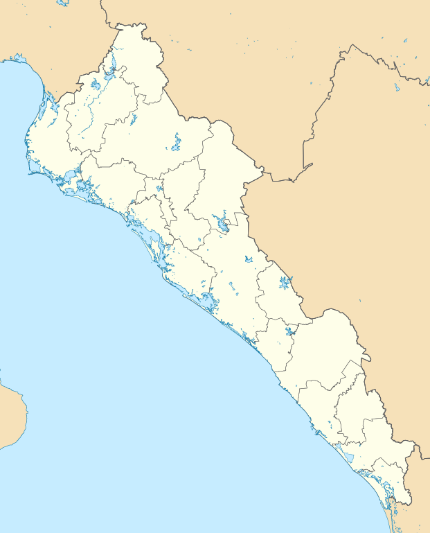
English: Location map of Sinaloa.
EPSG:3857 projection, Geographic limits of the map:
|
| Date | |
| Source |
|
| Author | Addicted04 |
Licensing
I, the copyright holder of this work, hereby publish it under the following license:
This file is licensed under the Creative Commons Attribution-Share Alike 4.0 International license.
- You are free:
- to share – to copy, distribute and transmit the work
- to remix – to adapt the work
- Under the following conditions:
- attribution – You must give appropriate credit, provide a link to the license, and indicate if changes were made. You may do so in any reasonable manner, but not in any way that suggests the licensor endorses you or your use.
- share alike – If you remix, transform, or build upon the material, you must distribute your contributions under the same or compatible license as the original.
File history
Click on a date/time to view the file as it appeared at that time.
| Date/Time | Thumbnail | Dimensions | User | Comment | |
|---|---|---|---|---|---|
| current | 22:41, 1 June 2015 | | 1,937 × 2,397 (436 KB) | Addicted04 | Valid SVG |
| 17:05, 30 May 2015 |  | 512 × 634 (579 KB) | Addicted04 | Archivo | |
| 16:59, 30 May 2015 |  | 512 × 634 (1,008 KB) | Addicted04 | User created page with UploadWizard |
File usage
The following pages on the English Wikipedia use this file (pages on other projects are not listed):
- 2017–18 Tercera División de México season
- 2018–19 Liga TDP season
- 2019–20 Liga TDP season
- 2020–21 Liga TDP season
- 2021–22 Liga TDP season
- 2022–23 Liga TDP season
- 2023–24 Liga TDP season
- Agiabampo Estuary
- Altamura Island
- Altata
- Badiraguato
- Campo Cuatro Milpas Airport
- Choix
- Concordia, Sinaloa
- Cosalá
- Culiacán
- Culiacán International Airport
- El Fuerte, Sinaloa
- El Fuerte Airport
- Eldorado, Sinaloa
- Guamúchil
- Guasave
- La Cruz, Sinaloa
- Los Mochis
- Los Mochis International Airport
- Mazatlán
- Mazatlán International Airport
- Mazatlán Open
- Navolato, Sinaloa
- San Ignacio, Sinaloa
- Topolobampo
- User:Rianovik/Escuinapa Airfield
- User:Ty654/List of earthquakes from 1920-1929 exceeding magnitude 6+
- User:Ty654/List of earthquakes from 1950-1954 exceeding magnitude 6+
- User:Ty654/List of earthquakes from 1955-1959 exceeding magnitude 6+
- User:Ty654/List of earthquakes from 1960-1964 exceeding magnitude 6+
- User:Ty654/List of earthquakes from 1965-1969 exceeding magnitude 6+
- User:Ty654/List of earthquakes from 1970-1974 exceeding magnitude 6+
- User:Ty654/List of earthquakes from 1985-1989 exceeding magnitude 6+
- User:Ty654/List of earthquakes from 1990-1994 exceeding magnitude 6+
- User:Ty654/List of earthquakes from 2000-2004 exceeding magnitude 6+
- User:Ty654/List of earthquakes from 2010-2014 exceeding magnitude 6+
- Module:Location map/data/Mexico Sinaloa
- Module:Location map/data/Mexico Sinaloa/doc
Global file usage
The following other wikis use this file:
- Usage on de.wikipedia.org
- Sinaloa
- Los Mochis
- Culiacán
- Mazatlán
- Guasave
- Topolobampo
- Navolato
- Choix
- Guamúchil
- Mocorito
- Concordia (Sinaloa)
- Badiraguato
- Escuinapa de Hidalgo
- Angostura (Sinaloa)
- Cosalá
- El Fuerte
- Sinaloa de Leyva
- San Ignacio (Sinaloa)
- El Rosario (Sinaloa)
- Wikipedia:Kartenwerkstatt/Positionskarten/Nordamerika
- Baluarte-Brücke
- Estadio Banorte
- Vorlage:Positionskarte Mexiko Sinaloa
- El Pozo (Sinaloa)
- Estadio de Mazatlán
- Faro de Mazatlán
- Usage on eo.wikipedia.org
- Usage on es.wikipedia.org
- Usage on he.wikipedia.org
- Usage on ia.wikipedia.org
- Usage on ja.wikipedia.org
- Usage on lv.wikipedia.org
- Usage on pl.wikipedia.org
View more global usage of this file.