Size of this preview: 800 × 600 pixels. Other resolutions: 320 × 240 pixels | 640 × 480 pixels | 1,024 × 768 pixels | 1,280 × 960 pixels | 2,560 × 1,919 pixels | 3,393 × 2,544 pixels.
Original file (3,393 × 2,544 pixels, file size: 5.02 MB, MIME type: image/jpeg)
|
This is an image of a place or building that is listed on the National Register of Historic Places in the United States of America. Its reference number is 5000098. |
Summary
| Description |
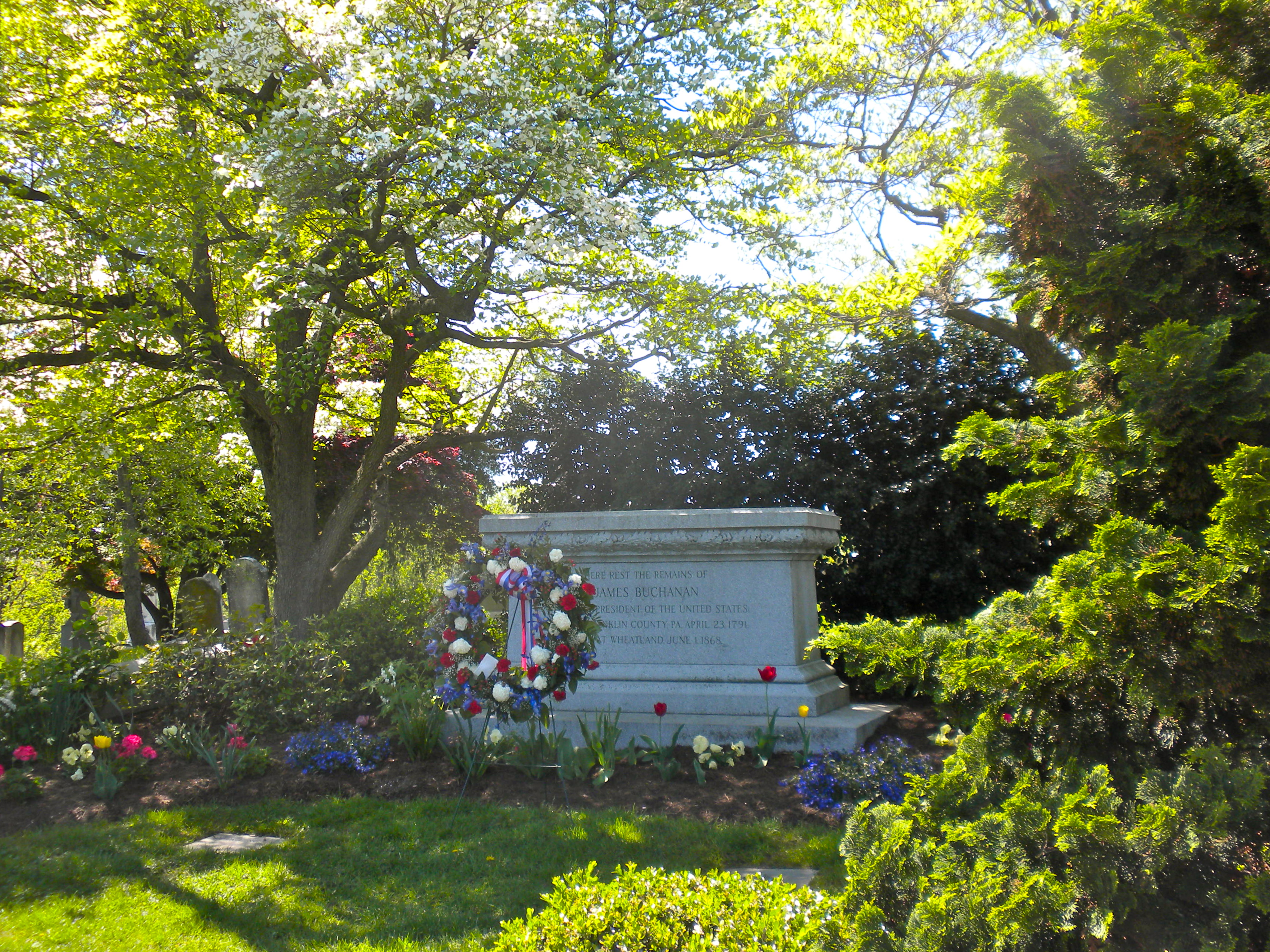
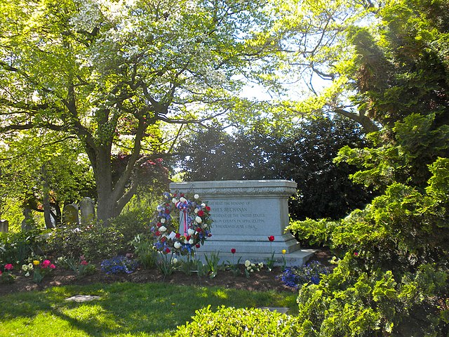
English: James Buchanan's grave (15th President of the US) in Woodward Hill Cemetery. The Cemetery has been on the NRHP since February 24, 2005 and is bounded by Strawberry Street, South Queen Street, and Chesapeake Street in southern Lancaster city in Lancaster County, PA |
| Date | |
| Source | Own work |
| Author | Smallbones |
| Camera location | | View this and other nearby images on: OpenStreetMap |
|---|
Licensing
| I, the copyright holder of this work, release this work into the public domain. This applies worldwide. In some countries this may not be legally possible; if so: I grant anyone the right to use this work for any purpose, without any conditions, unless such conditions are required by law. |
File history
Click on a date/time to view the file as it appeared at that time.
| Date/Time | Thumbnail | Dimensions | User | Comment | |
|---|---|---|---|---|---|
| current | 23:06, 23 April 2010 | | 3,393 × 2,544 (5.02 MB) | Smallbones | {{Information |Description={{en|1=James Buchanan's grave (15th President of the US) in Woodward Hill Cemetery. The Cemetery has been on the NRHP since February 24, 2005 and is bounded by Strawberry Street, South Queen Street, and Chesapeake Street in sou |
File usage
The following pages on the English Wikipedia use this file (pages on other projects are not listed):
Global file usage
The following other wikis use this file:
- Usage on bg.wikipedia.org
- Usage on it.wikipedia.org
- Usage on pt.wikipedia.org
- Usage on tt.wikipedia.org
- Usage on www.wikidata.org