
Size of this preview: 655 × 600 pixels. Other resolutions: 262 × 240 pixels | 524 × 480 pixels | 839 × 768 pixels | 1,119 × 1,024 pixels | 2,237 × 2,048 pixels | 3,864 × 3,537 pixels.
Original file (3,864 × 3,537 pixels, file size: 2.26 MB, MIME type: image/jpeg)
Summary
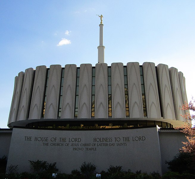
| Description | East side of the Provo Utah Temple. |
| Date | Taken on 15 July 2017, 19:15 |
| Source | Provo Utah Temple |
| Author | Ben P L |
| Camera location | | View this and other nearby images on: OpenStreetMap |
|---|
.jpg¶ms=040.263980_N_-111.639150_E_globe:Earth_type:camera_source:Flickr_&language=en)
Licensing
This file is licensed under the Creative Commons Attribution-Share Alike 2.0 Generic license.
- You are free:
- to share – to copy, distribute and transmit the work
- to remix – to adapt the work
- Under the following conditions:
- attribution – You must give appropriate credit, provide a link to the license, and indicate if changes were made. You may do so in any reasonable manner, but not in any way that suggests the licensor endorses you or your use.
- share alike – If you remix, transform, or build upon the material, you must distribute your contributions under the same or compatible license as the original.
| This image was originally posted to Flickr by Ben P L at https://flickr.com/photos/88663091@N04/36017223143 (archive). It was reviewed on 20 November 2017 by FlickreviewR 2 and was confirmed to be licensed under the terms of the cc-by-sa-2.0. |
File history
Click on a date/time to view the file as it appeared at that time.
| Date/Time | Thumbnail | Dimensions | User | Comment | |
|---|---|---|---|---|---|
| current | 02:46, 20 November 2017 | | 3,864 × 3,537 (2.26 MB) | Ben P L | Transferred from Flickr via Flickr2Commons |
File usage
The following pages on the English Wikipedia use this file (pages on other projects are not listed):
- Comparison of temples of the Church of Jesus Christ of Latter-day Saints
- List of temples in the United States (LDS Church)
- List of temples of the Church of Jesus Christ of Latter-day Saints
- Provo Utah Temple
- The Church of Jesus Christ of Latter-day Saints in Utah
- User:Dmm1169/sandbox/List
- User:Dmm1169/sandbox/Tables
- User talk:Trödel/Sandbox1
- Wikipedia:WikiProject Latter Day Saint movement/Temples/Pictures
.jpg)