DescriptionPedestrian crossing sign at Davenport Road and Osler Street Toronto.jpg
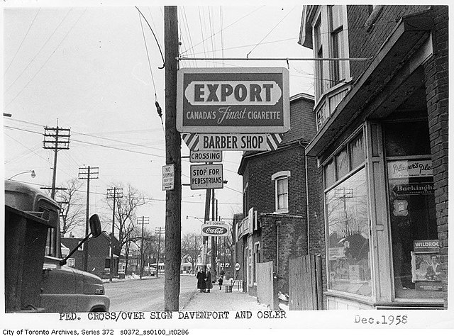
English: Pedestrian crossing sign at Davenport Road and Osler Street
This image is available from the City of Toronto Archives, listed under the archival citation Series 372, Subseries 100, Item 286.
This tag does not indicate the copyright status of the attached work. A normal copyright tag is still required. See Commons:Licensing for more information.
This Canadian work is in the public domain in Canada because its copyright has expired due to one of the following:
1. it was subject to Crown copyright and was first published more than 50 years ago, or
it was not subject to Crown copyright, and
2. it is a photograph that was created prior to January 1, 1949, or
3. the creator died prior to January 1, 1972.
You must also include a United States public domain tag to indicate why this work is in the public domain in the United States. Note that this work might not be in the public domain in countries that do not apply the rule of the shorter term and have copyright terms longer than life of the author plus 50 years. In particular, Mexico is 100 years, Jamaica is 95 years, Colombia is 80 years, Guatemala and Samoa are 75 years, Switzerland and the United States are 70 years, and Venezuela is 60 years.
to share – to copy, distribute and transmit the work
to remix – to adapt the work
Under the following conditions:
attribution – You must give appropriate credit, provide a link to the license, and indicate if changes were made. You may do so in any reasonable manner, but not in any way that suggests the licensor endorses you or your use.
https://creativecommons.org/licenses/by/2.0CC BY 2.0 Creative Commons Attribution 2.0 truetrue

