No higher resolution available.
Mapa_físico_de_la_provincia_de_Alicante_(España).png (504 × 443 pixels, file size: 306 KB, MIME type: image/png)
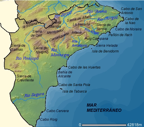
| Description | Mapa físico de la provincia de Alicante (España). |
| Date | |
| Source | http://orto.cth.gva.es |
| Author | Mapa realizado por Rodriguillo a partir de una imagen del Visor de Cartografía CTH de la Comunidad Valenciana. Esta imagen puede ser reproducida bajo licencia GFDL con la autorización de la Consellería de Territori i Habitatge de la Generalidad Valenciana (es:Wikipedia:Autorizaciones/Visor de Cartografía CTH de la Comunidad Valenciana) |
| Permission (Reusing this file) |
GFDL |
| I, the copyright holder of this work, release this work into the public domain. This applies worldwide. In some countries this may not be legally possible; if so: I grant anyone the right to use this work for any purpose, without any conditions, unless such conditions are required by law. |
File history
Click on a date/time to view the file as it appeared at that time.
| Date/Time | Thumbnail | Dimensions | User | Comment | |
|---|---|---|---|---|---|
| current | 23:27, 27 April 2007 | | 504 × 443 (306 KB) | Rodriguillo | |
| 23:10, 27 April 2007 |  | 504 × 443 (304 KB) | Rodriguillo | {{Information |Description='''Mapa físico de la provincia de Alicante (España)'''. |Source=http://orto.cth.gva.es |Date=2007 |Author=Mapa realizado por Rodriguillo a partir de una imagen del Visor de Cartografía CTH de la C |
File usage
The following pages on the English Wikipedia use this file (pages on other projects are not listed):
Global file usage
The following other wikis use this file:
- Usage on de.wikipedia.org
- Usage on es.wikipedia.org
- Usage on fa.wikipedia.org
- Usage on fr.wikipedia.org
- Usage on incubator.wikimedia.org
- Usage on is.wikipedia.org
- Usage on it.wikipedia.org
- Usage on ja.wikipedia.org
- Usage on pl.wikipedia.org
- Usage on vi.wikipedia.org
.png)