Size of this preview: 800 × 599 pixels. Other resolutions: 320 × 240 pixels | 640 × 479 pixels | 959 × 718 pixels.
Original file (959 × 718 pixels, file size: 179 KB, MIME type: image/jpeg)
Summary
| Description |
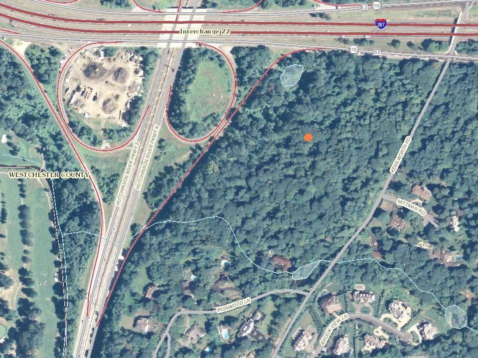
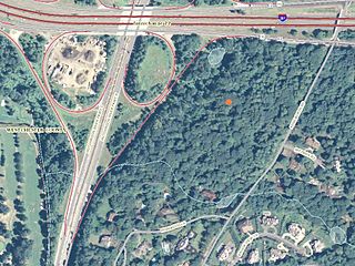
English: 24-acre site of the planned, but suspended, location of the the Harrison New York Temple, formerally known as the White Plains New York Temple. |
| Date | |
| Source | United States Geological Survey: The National Map |
| Author | USGS contributors, unspecified |
Licensing
This image is in the public domain in the United States because it only contains materials that originally came from the United States Geological Survey, an agency of the United States Department of the Interior. For more information, see the official USGS copyright policy.
|
File history
Click on a date/time to view the file as it appeared at that time.
| Date/Time | Thumbnail | Dimensions | User | Comment | |
|---|---|---|---|---|---|
| current | 14:12, 12 August 2011 | | 959 × 718 (179 KB) | ARTEST4ECHO | cropped image |
| 14:10, 12 August 2011 |  | 1,495 × 720 (277 KB) | ARTEST4ECHO | == {{int:filedesc}} == {{Information |Description ={{en|1=24-acre site of the planned, but suspended, location of the the {{w|Harrison New York Temple}}, formerally known as the White Plains New York Temple.}} |Source =United States Geological |
File usage
The following pages on the English Wikipedia use this file (pages on other projects are not listed):
- Comparison of temples of the Church of Jesus Christ of Latter-day Saints
- Harrison New York Temple
- List of temples in the United States (LDS Church)
- List of temples of the Church of Jesus Christ of Latter-day Saints
- The Church of Jesus Christ of Latter-day Saints in New York
- User:Dmm1169/sandbox/List
- User:Dmm1169/sandbox/Tables
Global file usage
The following other wikis use this file:
- Usage on es.wikipedia.org