
Size of this preview: 800 × 450 pixels. Other resolutions: 320 × 180 pixels | 640 × 360 pixels | 1,024 × 576 pixels | 1,280 × 720 pixels | 2,816 × 1,584 pixels.
Original file (2,816 × 1,584 pixels, file size: 1.85 MB, MIME type: image/jpeg)
|
This is an image of a place or building that is listed on the National Register of Historic Places in the United States of America. Its reference number is 74001519. |
| Camera location | | View this and other nearby images on: OpenStreetMap |
|---|
| Description |
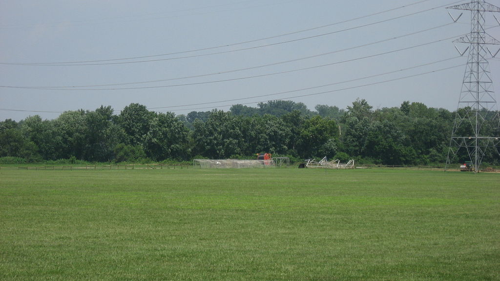
English: Fields in Clear Creek Park, north of the old Batavia Road (State Route 32) in northwestern Anderson Township, Hamilton County, Ohio, United States. The park was once a village of the Fort Ancient culture, and slightly more than one square mile of the park is a group of archaeological sites known as the Hahn Field Archeological District; it is listed on the National Register of Historic Places. |
||
| Date | Taken on 17 July 2010 | ||
| Source | Own work | ||
| Author | Nyttend | ||
| Permission (Reusing this file) |
|
File history
Click on a date/time to view the file as it appeared at that time.
| Date/Time | Thumbnail | Dimensions | User | Comment | |
|---|---|---|---|---|---|
| current | 14:43, 28 July 2010 | | 2,816 × 1,584 (1.85 MB) | Nyttend | {{Location|39|7|24|N|84|22|40|W}} {{Information |Description={{en|Fields in Clear Creek Park, north of the old Batavia Road ({{w|Ohio State Route 32|State Route 32}}) in northwestern {{w|Anderson Township, Hamilton County, Ohio|Anderson Township}}, {{w|Ha |
File usage
The following pages on the English Wikipedia use this file (pages on other projects are not listed):
Global file usage
The following other wikis use this file:
- Usage on www.wikidata.org