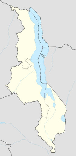
Mzalangwe | |
|---|---|
| Coordinates: 11°27′00″S 33°59′50″E / 11.45000°S 33.99722°E | |
| Country | Malawi |
| Region | Northern Region, Malawi |
| Municipality | Mzimba District |
| Established | 1910 |
| Area | |
| • Total | 50.14 km2 (19.36 sq mi) |
| Population (2018) | |
| • Total | 27,720 |
| • Density | 550/km2 (1,400/sq mi) |
| Racial makeup (2018) | |
| • Black African | 97.5% |
| • Asian | 1.2% |
| • White Malawians | 1.1% |
| • Other | 0.2% |
| First languages (2018) | |
| • Tumbuka | 88.8% |
| • Chewa | 4.0% |
| • Tonga | 3.2% |
| • Ngonde | 1.0% |
| • Other | 3.0% |
| Time zone | UTC+2 |
Mzalangwe is a residential town in Mzimba District, Malawi. The town is home to Mzalangwe Health Care[1] and is located West of Mzimba in the Northern Region. Chitumbuka is the predominant language spoken in the area which is also the official regional language of the Northern Region of Malawi. Nearby towns include Euthini and Mbalachanda.[2][3]
The estimated terrain elevation above the sea level is about 1,301 metres.[4]
Institutions[edit]
- Mzalangwe Health Centre[5]
- Mzalangwe Orphan Care
- Mzalangwe Primary School
- Mzalangwe Community Day Secondary School
References[edit]
- ^ "Hora". www.zodiakmalawi.com. Retrieved 2024-04-29.
- ^ "Mutharika to attend Ngoni cultural festival Umtheto in Mzimba - Malawi Nyasa Times - News from Malawi about Malawi". www.nyasatimes.com. 2018-08-08. Retrieved 2024-04-29.
- ^ "Mkhosi Jere enthroned as Malawi Ngoni king: Inkosi ya Makosi M'Mbelwa V - Malawi Nyasa Times - News from Malawi about Malawi". www.nyasatimes.com. 2014-10-05. Retrieved 2024-04-29.
- ^ "Mzalangwe populated place, Northern Region, Malawi". mw.geoview.info. Retrieved 2024-04-29.
- ^ "'Friends of Hora' engage communities on developmental projects in Mzimba - Malawi Nyasa Times - News from Malawi about Malawi". www.nyasatimes.com. 2021-04-29. Retrieved 2024-04-29.

