Size of this preview: 800 × 600 pixels. Other resolutions: 320 × 240 pixels | 640 × 480 pixels | 1,024 × 768 pixels | 1,280 × 960 pixels | 2,560 × 1,920 pixels | 3,264 × 2,448 pixels.
Original file (3,264 × 2,448 pixels, file size: 3.76 MB, MIME type: image/jpeg)
Summary
| Description |
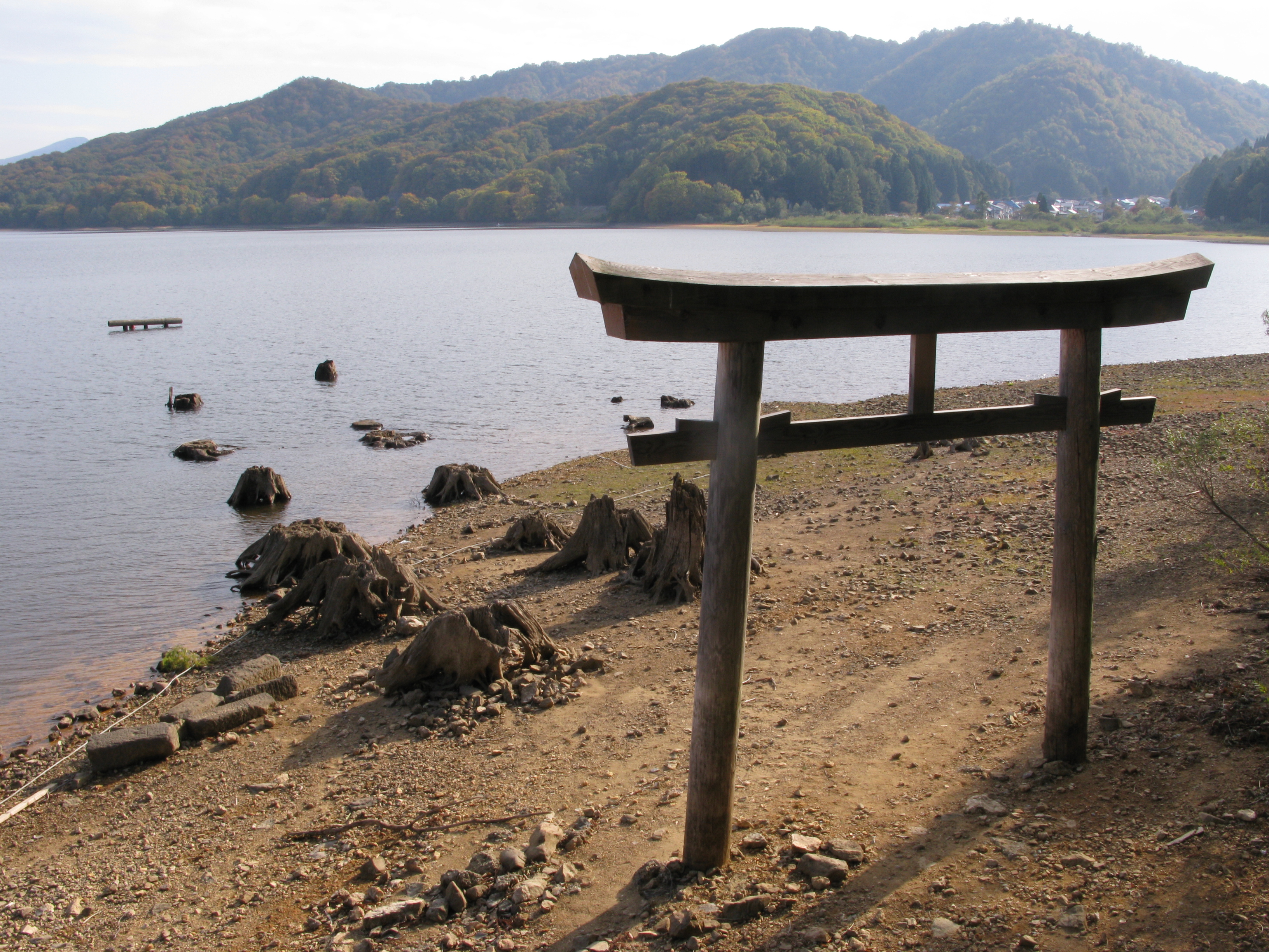
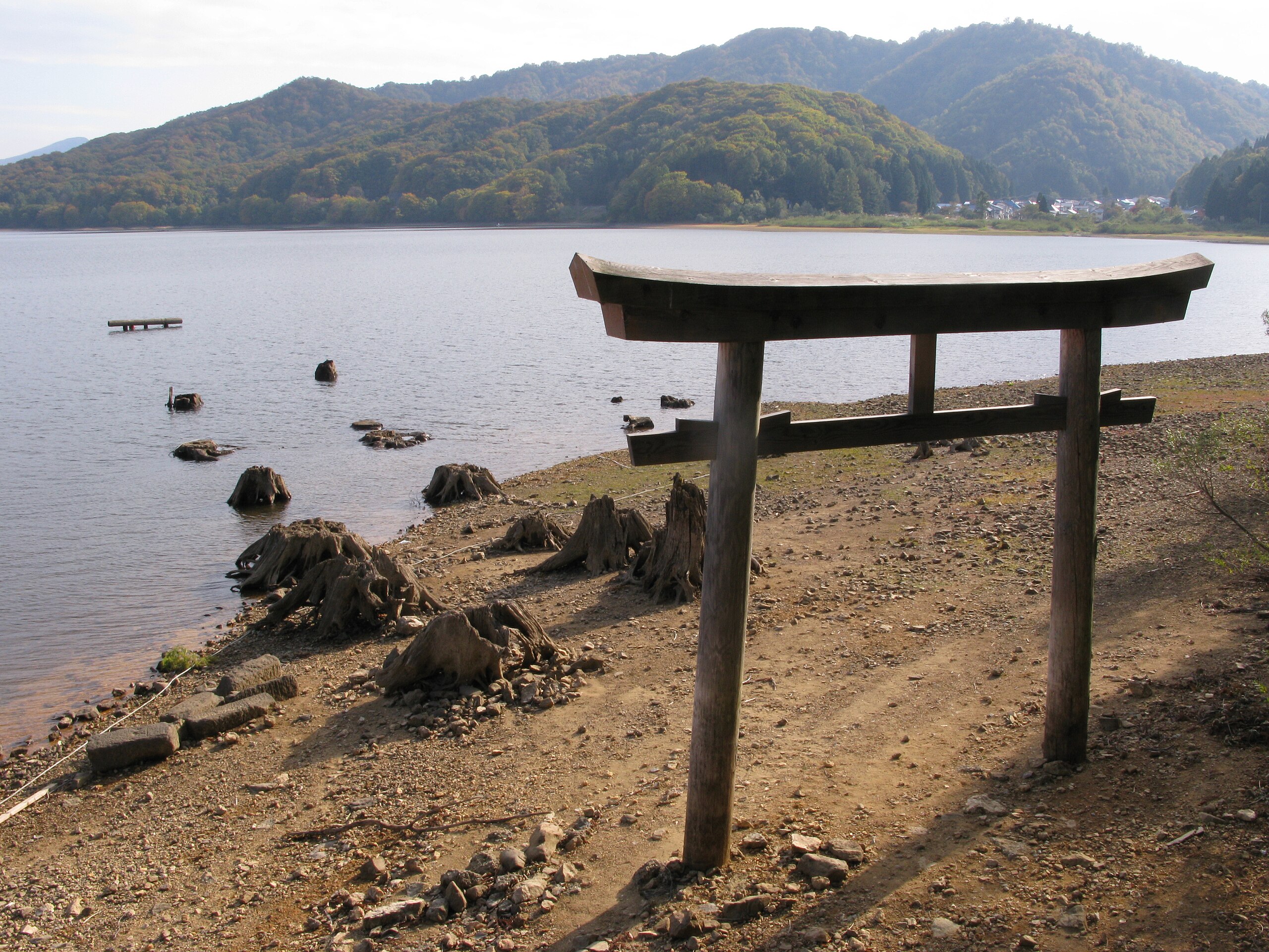
English: Lake Hibara-ko, Torii that goes under water, Fukushima pref., Japan
日本語: 桧原湖 水没した鳥居 福島県 |
| Date | |
| Source | Qwert1234's file |
| Author | Qwert1234 |
| Camera location | | View this and other nearby images on: OpenStreetMap |
|---|
Licensing
| I, the copyright holder of this work, release this work into the public domain. This applies worldwide. In some countries this may not be legally possible; if so: I grant anyone the right to use this work for any purpose, without any conditions, unless such conditions are required by law. |
File history
Click on a date/time to view the file as it appeared at that time.
| Date/Time | Thumbnail | Dimensions | User | Comment | |
|---|---|---|---|---|---|
| current | 14:13, 14 October 2009 | | 3,264 × 2,448 (3.76 MB) | Qwert1234 | {{Information |Description={{en|1=Lake Hibara-ko, Torii that goes under water, Fukushima pref., Japan}} {{ja|1=桧原湖 水没した鳥居 福島県}} |Source=Qwert1234's file |Author=Qwert1234 |Date=2009-10-14 |Permission= |other_versions= }} [[Categor |
File usage
The following pages on the English Wikipedia use this file (pages on other projects are not listed):
Global file usage
The following other wikis use this file:
- Usage on de.wikipedia.org
- Usage on fr.wikipedia.org
- Usage on ja.wikipedia.org
- Usage on lt.wikipedia.org
- Usage on my.wikipedia.org
- Usage on simple.wikipedia.org