
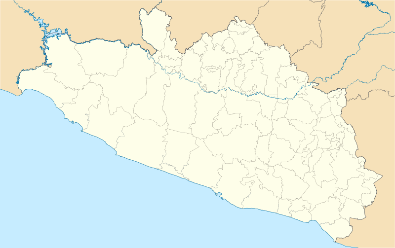
Size of this PNG preview of this SVG file: 800 × 503 pixels. Other resolutions: 320 × 201 pixels | 640 × 403 pixels | 1,024 × 644 pixels | 1,280 × 805 pixels | 2,560 × 1,610 pixels | 3,993 × 2,512 pixels.
Original file (SVG file, nominally 3,993 × 2,512 pixels, file size: 1.18 MB)
W3C-validity not checked.
| Description |
Location Map of en:Estado de Guerrero Equirectangular projection, Geographic limits of the map:
|
| Date | |
| Source | Own work |
| Author | Battroid (talk) |
I, the copyright holder of this work, hereby publish it under the following license:
| I, the copyright holder of this work, release this work into the public domain. This applies worldwide. In some countries this may not be legally possible; if so: I grant anyone the right to use this work for any purpose, without any conditions, unless such conditions are required by law. |
File history
Click on a date/time to view the file as it appeared at that time.
| Date/Time | Thumbnail | Dimensions | User | Comment | |
|---|---|---|---|---|---|
| current | 06:01, 16 December 2011 | | 3,993 × 2,512 (1.18 MB) | Battroid | {{ValidSVG}} {{Information |Description=Location Map of en:Estado de Guerrero Equirectangular projection, Geographic limits of the map: * N: 18.96° N * S: 16.25° N * W: 102.39° W * E: 97.87° W |Source={{own work}} |Date=2011-12-13 |Author=[[User: |
| 06:11, 14 December 2011 |  | 3,993 × 2,512 (1.17 MB) | Battroid | {{ValidSVG}} {{Information |Description=Location Map of en:Estado de Guerrero Equirectangular projection, Geographic limits of the map: * N: 18.96° N * S: 16.25° N * W: 102.39° W * E: 97.87° W |Source={{own work}} |Date=2011-12-13 |Author=[[User: | |
| 05:53, 14 December 2011 |  | 3,993 × 2,512 (1.17 MB) | Battroid | {{ValidSVG}} {{Information |Description=Location Map of en:Estado de Guerrero Equirectangular projection, Geographic limits of the map: * N: 18.96° N * S: 16.25° N * W: 102.39° W * E: 97.87° W |Source={{own work}} |Date=2011-12-13 |Author=[[User: |
File usage
More than 100 pages use this file. The following list shows the first 100 pages that use this file only. A full list is available.
- Acapetlahuaya
- Acapulco
- Acapulco (municipality)
- Acapulco International Airport
- Acatepec
- Ahuacuotzingo
- Ahuacuotzingo (municipality)
- Ajuchitlán
- Alcozauca de Guerrero
- Alpoyeca
- Apango
- Apaxtla de Castrejón
- Arcelia
- Atenango del Río
- Atlamajalcingo del Monte
- Atlixtac
- Atoyac de Álvarez
- Ayotzinapa
- Ayutla de los Libres
- Azoyú
- Buenavista de Cuéllar
- Chichihualco
- Chilapa de Álvarez
- Chilpancingo
- Chilpancingo National Airport
- Ciudad Altamirano
- Coahuayutla de Guerrero
- Cochoapa el Grande
- Cocula, Guerrero
- Copala, Guerrero
- Copalillo
- Copanatoyac
- Coyuca de Benítez
- Coyuca de Catalán
- Cruz Grande
- Cuajinicuilapa
- Cuajinicuilapa (municipality)
- Cualac, Guerrero
- Cuautepec
- Cuetzala del Progreso
- Cutzamala de Pinzón
- Eduardo Neri
- General Canuto A. Neri
- Huamuxtitlán
- Hueycantenango
- Huitzuco
- Iguala
- Igualapa
- Iliatenco
- Ixcapuzalco
- Ixcateopan de Cuauhtémoc
- Ixtapa-Zihuatanejo International Airport
- Juchitán, Guerrero
- La Unión, Guerrero
- Malinaltepec
- Marquelia
- Marquelia (municipality)
- Metlatónoc
- Mochitlán
- Olinalá
- Ometepec
- Ometepec (municipality)
- Oxtotitlán
- Petatlán
- Pie de la Cuesta, Guerrero
- Pilcaya
- Pilcaya (municipality)
- Quechultenango
- San Jerónimo de Juárez
- San Luis Acatlán
- San Marcos, Guerrero
- San Miguel Totolapan
- Santa Barbara Regional Airport
- Taxco
- Taxco el Viejo
- Tecoanapa
- Tecpan de Galeana
- Tecpan de Galeana (municipality)
- Teloloapan
- Tepecoacuilco de Trujano
- Tetipac
- Tierra Colorada
- Tixtla
- Tlacoachistlahuaca
- Tlacoachistlahuaca (municipality)
- Tlacoapa
- Tlacotepec
- Tlalchapa
- Tlalixtaquilla
- Tlapa de Comonfort
- Tlapehuala
- Xalpatláhuac
- Xalpatláhuac (municipality)
- Xochihuehuetlán
- Xochihuehuetlán (municipality)
- Xochistlahuaca
- Zapotitlán Tablas
- Zihuatanejo
- Zitlala
- Zumpango del Río
View more links to this file.
Global file usage
The following other wikis use this file:
- Usage on ar.wikipedia.org
- Usage on ba.wikipedia.org
- Usage on bg.wikipedia.org
- Usage on ceb.wikipedia.org
- Usage on ce.wikipedia.org
- Usage on de.wikipedia.org
- Usage on eo.wikipedia.org
- Usage on es.wikipedia.org
- Usage on fa.wikipedia.org
- Usage on fr.wikipedia.org
- Acapulco
- Chilpancingo
- Taxco
- Iguala
- Apango
- Zihuatanejo
- San Luis de la Loma
- Modèle:Géolocalisation/Guerrero
- Oceanic 2000
- Tournoi de tennis du Mexique (ATP 2014)
- Wikipédia:Atelier graphique/Cartes/Archives/avril 2014
- HS Hotsson Smart Acapulco
- Torres Gemelas
- San Marcos (Guerrero)
- Juliantla
- Tournoi de tennis du Mexique (ATP 2004)
- Tournoi de tennis du Mexique (ATP 2003)
- Tournoi de tennis du Mexique (ATP 2002)
- Tournoi de tennis du Mexique (ATP 2001)
- Tournoi de tennis du Mexique (ATP 2018)
- Tournoi de tennis du Mexique (WTA 2018)
- Tournoi de tennis du Mexique (ATP 2019)
- Tournoi de tennis du Mexique (WTA 2019)
View more global usage of this file.
Well, that’s interesting to know that Psilotum nudum are known as whisk ferns. Psilotum nudum is the commoner species of the two. While the P. flaccidum is a rare species and is found in the tropical islands. Both the species are usually epiphytic in habit and grow upon tree ferns. These species may also be terrestrial and grow in humus or in the crevices of the rocks.
View the detailed Guide of Psilotum nudum: Detailed Study Of Psilotum Nudum (Whisk Fern), Classification, Anatomy, Reproduction