
Size of this PNG preview of this SVG file: 526 × 599 pixels. Other resolutions: 211 × 240 pixels | 421 × 480 pixels | 674 × 768 pixels | 899 × 1,024 pixels | 1,798 × 2,048 pixels | 2,032 × 2,314 pixels.
Original file (SVG file, nominally 2,032 × 2,314 pixels, file size: 1.4 MB)
Summary
| Description |
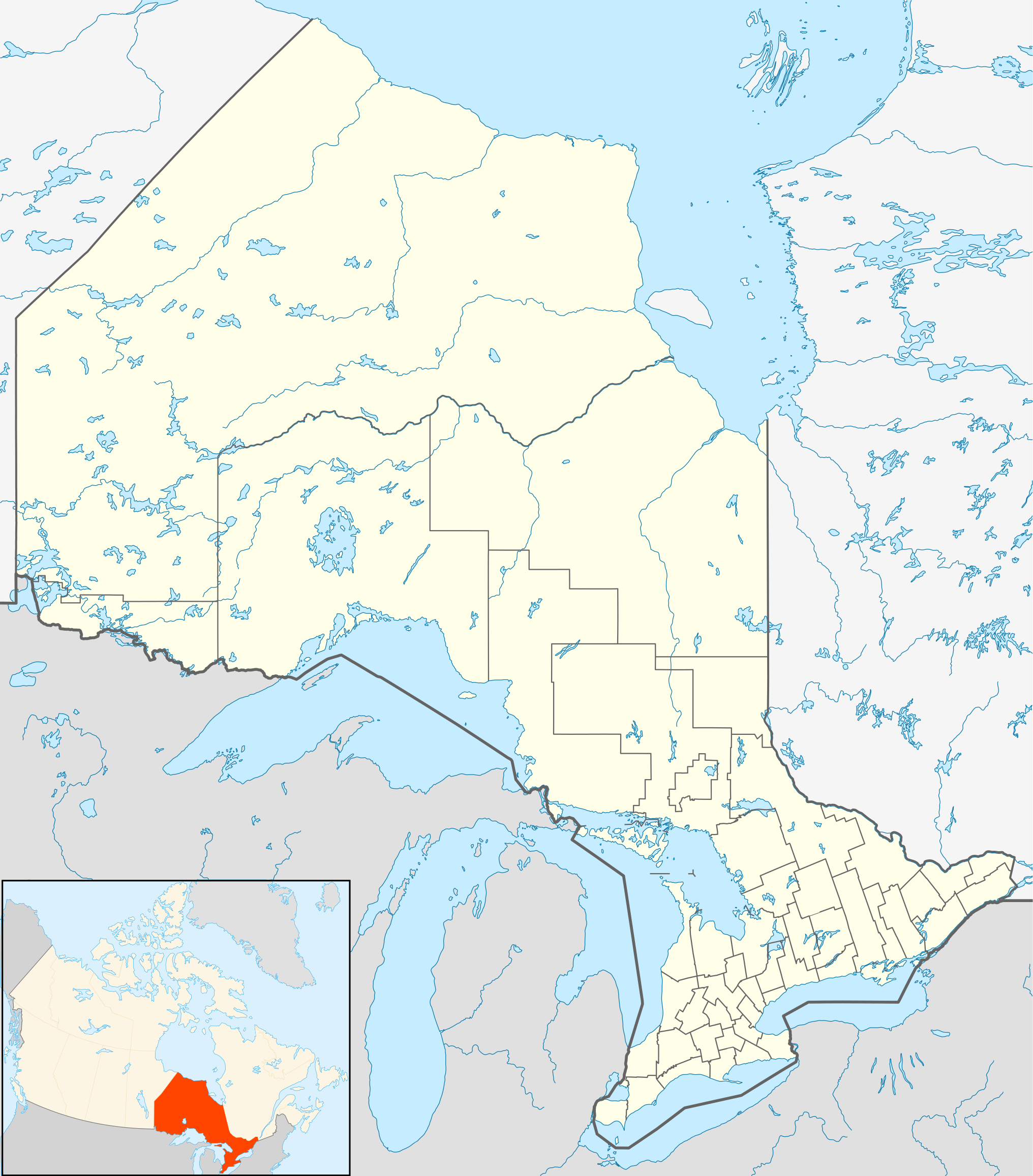
Quadratische Plattkarte, N-S-Streckung 155 %. Geographische Begrenzung der Karte:
Equirectangular projection, N/S stretching 155 %. Geographic limits of the map:
|
| Date | |
| Source |
NordNordWest, using
|
| Author | NordNordWest |
| Permission (Reusing this file) |
I, the copyright holder of this work, hereby publish it under the following license: This file is licensed under the Creative Commons Attribution-Share Alike 3.0 Unported license.
|
| Other versions |
|


File history
Click on a date/time to view the file as it appeared at that time.
| Date/Time | Thumbnail | Dimensions | User | Comment | |
|---|---|---|---|---|---|
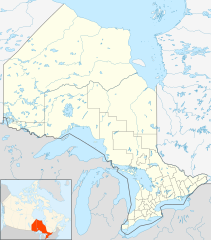
| current | 21:32, 22 September 2009 | | 2,032 × 2,314 (1.4 MB) | Michiel1972 | {{int:filedesc}} {{Information |Description= {{de|Positionskarte von Ontario, Kanada}} Quadratische Plattkarte, N-S-Streckung 155 %. Geographische Begrenzung der Karte: * N: 57.1° N * S: 41.3° N * W: 95.5° W * O: 74.0° W |
File usage
More than 100 pages use this file. The following list shows the first 100 pages that use this file only. A full list is available.
- Acanthus, Ontario
- Achray, Ontario
- Akwesasne
- Amherstview, Ontario
- Aultsville, Ontario
- Berkeley, Ontario
- Billy Bishop Toronto City Airport
- Black River-Matheson
- Blind River, Ontario
- Brent crater
- Brights Grove, Ontario
- Burford, Ontario
- Buttonville Municipal Airport
- CFB Borden
- CFB North Bay
- Caledonia, Ontario
- Cameron, Ontario
- Camp X
- Campbellford
- Casselman, Ontario
- Cayuga, Ontario
- Clinton, Ontario
- Cobalt, Ontario
- Cochrane, Ontario
- Cree
- Creemore
- Delaware, Ontario
- Dryden, Ontario
- Dunnville
- Dynamic Earth (Ontario)
- Elliot Lake
- Elora, Ontario
- Espanola, Ontario
- Estaire, Ontario
- Fort Frances
- Fort Severn First Nation
- Fort William, Ontario
- French River, Ontario
- Grand Bend
- Hagersville, Ontario
- Hamilton, Ontario
- Hawkesbury, Ontario
- Health Sciences North
- Hearst, Ontario
- Iroquois Falls
- Kapuskasing
- Kemptville
- Kenora
- Kiosk, Ontario
- Kirkland Lake
- Laird, Ontario
- Lake Doré
- Lake Superior Provincial Park
- Larder Lake, Ontario
- London International Airport
- Long Point, Ontario
- Marathon, Ontario
- Markham Stouffville Hospital
- Markstay-Warren
- Matheson Fire
- McGarry, Ontario
- Midhurst, Ontario
- Moosonee
- Nakina, Ontario
- Niagara Falls
- Niagara Falls, Ontario
- North Bay, Ontario
- Northeastern Manitoulin and the Islands
- Oliver Paipoonge
- Ontario Hockey League
- Ottawa
- Pancake Bay Provincial Park
- Pelee, Ontario
- Port Stanley, Ontario
- Prince, Ontario
- Rainy River, Ontario
- Region of Waterloo International Airport
- Regional Municipality of Peel
- Restoule
- Sables-Spanish Rivers
- Sauble Beach, Ontario
- Seaforth, Ontario
- Sharon Temple
- Sioux Lookout
- South Glengarry
- St. Charles, Ontario
- St. Michael's Cathedral Basilica (Toronto)
- Stratford, Ontario
- Sturgeon Falls
- Temiskaming Shores
- Thunder Bay
- Thunder Bay International Airport
- Timmins
- Toronto
- Toronto Islands
- Union Station (Toronto)
- Wanup
- Wawa, Ontario
- Wheatley Provincial Park
- Whitefish Lake 6, Ontario
View more links to this file.
Global file usage
The following other wikis use this file:
- Usage on af.wikipedia.org
- Usage on als.wikipedia.org
- Usage on ar.wikipedia.org
- Usage on ast.wikipedia.org
- Usage on azb.wikipedia.org
- Usage on ba.wikipedia.org
- Usage on bg.wikipedia.org
- Usage on bn.wikipedia.org
- Usage on ceb.wikipedia.org
- Usage on cs.wikipedia.org
- Usage on da.wikipedia.org
- Usage on eo.wikipedia.org
- Usage on es.wikipedia.org
View more global usage of this file.
Well, that’s interesting to know that Psilotum nudum are known as whisk ferns. Psilotum nudum is the commoner species of the two. While the P. flaccidum is a rare species and is found in the tropical islands. Both the species are usually epiphytic in habit and grow upon tree ferns. These species may also be terrestrial and grow in humus or in the crevices of the rocks.
View the detailed Guide of Psilotum nudum: Detailed Study Of Psilotum Nudum (Whisk Fern), Classification, Anatomy, Reproduction