
Size of this preview: 800 × 600 pixels. Other resolutions: 320 × 240 pixels | 640 × 480 pixels | 1,024 × 768 pixels | 1,280 × 960 pixels | 2,560 × 1,920 pixels | 3,264 × 2,448 pixels.
Original file (3,264 × 2,448 pixels, file size: 1.94 MB, MIME type: image/jpeg)
This is a photo of listed building number 1228292. |
Summary
| Description |
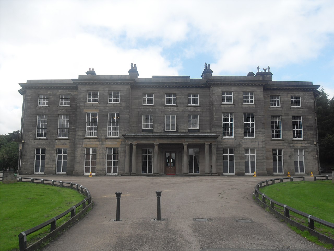
English: Haigh Hall, near to Haigh, Wigan, Great Britain. |
| Date | |
| Source | From this image at geograph.org.uk; transferred by User:RHaworth using geograph_org2commons. |
| Author | Anthony Parkes |
| Permission (Reusing this file) |
Creative Commons Attribution Share-alike license 2.0 |
| Attribution (required by the license) | Anthony Parkes / Haigh Hall / |
| Camera location | | View this and other nearby images on: OpenStreetMap |
|---|
| Object location | | View this and other nearby images on: OpenStreetMap |
|---|
_region:GB-GBN_heading:315.00&language=en)
Licensing

|
This image was taken from the Geograph project collection. See this photograph's page on the Geograph website for the photographer's contact details. The copyright on this image is owned by Anthony Parkes and is licensed for reuse under the Creative Commons Attribution-ShareAlike 2.0 license.
|
This file is licensed under the Creative Commons Attribution-Share Alike 2.0 Generic license.
Attribution: Anthony Parkes
- You are free:
- to share – to copy, distribute and transmit the work
- to remix – to adapt the work
- Under the following conditions:
- attribution – You must give appropriate credit, provide a link to the license, and indicate if changes were made. You may do so in any reasonable manner, but not in any way that suggests the licensor endorses you or your use.
- share alike – If you remix, transform, or build upon the material, you must distribute your contributions under the same or compatible license as the original.
File history
Click on a date/time to view the file as it appeared at that time.
| Date/Time | Thumbnail | Dimensions | User | Comment | |
|---|---|---|---|---|---|
| current | 23:06, 9 February 2011 | | 3,264 × 2,448 (1.94 MB) | File Upload Bot (Magnus Manske) | == {{int:filedesc}} == {{Information |Description={{en|1=Haigh Hall, near to Haigh, Wigan, Great Britain. }} |Source=From [http://www.geograph.org.uk/photo/2000746 this image] at [http://geograph.org.uk geograph.org.uk]; transferred by User:RHaworth u |
File usage
The following pages on the English Wikipedia use this file (pages on other projects are not listed):
- Abram Council Offices
- Atherton Hall, Leigh
- Barnfield Mills
- Bedford Colliery
- Bickershaw Colliery
- Bispham Hall
- Gathurst Viaduct
- Golborne North railway station
- Golborne South railway station
- Grade II* listed buildings in Greater Manchester
- Haigh, Greater Manchester
- Haigh Hall
- Hindley South railway station
- Hindley Town Hall
- Ince-in-Makerfield Town Hall
- Leigh Spinners
- Leigh Town Hall
- List of museums in Greater Manchester
- List of places of interest in Greater Manchester
- Listed buildings in Haigh, Greater Manchester
- Listed buildings in Hindley, Greater Manchester
- Listed buildings in Ince-in-Makerfield
- Listed buildings in Leigh, Greater Manchester
- Listed buildings in Shevington
- Listed buildings in Standish, Greater Manchester
- Listed buildings in Wigan
- Listed buildings in Worthington, Greater Manchester
- Mather Lane Mill
- May Mill, Pemberton
- Mesnes Park, Wigan
- Metropolitan Borough of Wigan
- Old Town Hall, Wigan
- Parsonage Colliery
- Sir Roger Bradshaigh, 3rd Baronet
- St John's Church, Wigan
- St Joseph's Roman Catholic Church, Leigh
- St Jude's Church, Wigan
- St Mary's Church, Wigan
- St Mary the Virgin's Church, Leigh
- St Matthew's Church, Wigan
- St Michael and All Angels' Church, Howe Bridge
- Trencherfield Mill
- Wigan
- Wigan Town Hall
- Template:Buildings and structures in Wigan Borough
Global file usage
The following other wikis use this file:
- Usage on dag.wikipedia.org
- Usage on da.wikipedia.org
- Usage on fr.wikipedia.org
- Usage on nl.wikipedia.org
- Usage on www.wikidata.org