| Greenhorn Mountain Wilderness | |
|---|---|
| Location | Huerfano / Pueblo counties, Colorado, USA |
| Nearest city | Rye, Colorado |
| Coordinates | 37°51′00″N 105°01′00″W / 37.85000°N 105.01667°W[2] |
| Area | 22,040 acres (89.2 km2) |
| Established | 1993 |
| Governing body | U.S. Forest Service |
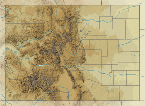
The Greenhorn Mountain Wilderness is a U.S. Wilderness Area located northwest of Walsenburg, Colorado in the San Isabel and Pike National Forests. The wilderness area includes the summit of Greenhorn Mountain, the highest point in the Wet Mountains of Colorado. There are 11 miles (18 km) of trails, all in the northern half of the wilderness.[3][4][5]
References[edit]
- ^ Protected Planet Website- Retrieved April 18, 2023
- ^ "Greenhorn Mountain Wilderness". Geographic Names Information System. United States Geological Survey, United States Department of the Interior. Retrieved August 10, 2012.
- ^ "Greenhorn Mountain Wilderness". Wilderness.net. Retrieved August 10, 2012.
- ^ "Greenhorn Mountain Wilderness". Colorado Wilderness. Retrieved August 10, 2012.
- ^ Rappold, R. Scott (September 9, 2009). "Out there: Wet Mountain wilderness offers solitude". Colorado Springs, Colorado: The Gazette. Retrieved August 10, 2012.

