
Size of this preview: 800 × 450 pixels. Other resolutions: 320 × 180 pixels | 640 × 360 pixels | 1,024 × 575 pixels | 1,280 × 719 pixels | 2,560 × 1,439 pixels | 3,648 × 2,050 pixels.
Original file (3,648 × 2,050 pixels, file size: 1.98 MB, MIME type: image/jpeg)
Summary
| Description |
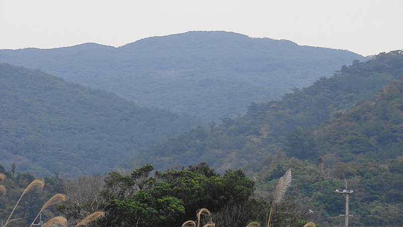
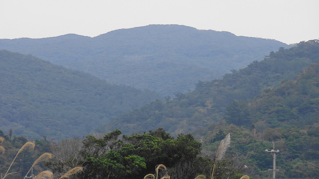
English: Mt Yonaha-dake,Okinawa prefecture, Japan
日本語: 与那覇岳、沖縄県、日本 |
| Date | |
| Source | Own work |
| Author | アラツク |
| Camera location | | View this and other nearby images on: OpenStreetMap |
|---|
Licensing
I, the copyright holder of this work, hereby publish it under the following licenses:

|
Permission is granted to copy, distribute and/or modify this document under the terms of the GNU Free Documentation License, Version 1.2 or any later version published by the Free Software Foundation; with no Invariant Sections, no Front-Cover Texts, and no Back-Cover Texts. A copy of the license is included in the section entitled GNU Free Documentation License. |
This file is licensed under the Creative Commons Attribution-Share Alike Attribution-Share Alike 4.0 International, 3.0 Unported, 2.5 Generic, 2.0 Generic and 1.0 Generic license.
- You are free:
- to share – to copy, distribute and transmit the work
- to remix – to adapt the work
- Under the following conditions:
- attribution – You must give appropriate credit, provide a link to the license, and indicate if changes were made. You may do so in any reasonable manner, but not in any way that suggests the licensor endorses you or your use.
- share alike – If you remix, transform, or build upon the material, you must distribute your contributions under the same or compatible license as the original.
You may select the license of your choice.
File history
Click on a date/time to view the file as it appeared at that time.
| Date/Time | Thumbnail | Dimensions | User | Comment | |
|---|---|---|---|---|---|
| current | 12:13, 1 March 2012 | | 3,648 × 2,050 (1.98 MB) | アラツク | {{Information |Description={{en|1=Mt Yonaha-dake,Okinawa prefecture, Japan}} {{ja|1=与那覇岳、沖縄県、日本}} |Source={{own}} |Author=アラツク |Date= 2012-02-09 |Permission= |other_versions= }} {{Location|26|43|54.4|N|128|10|11.4|E|e... |
File usage
The following pages on the English Wikipedia use this file (pages on other projects are not listed):
Global file usage
The following other wikis use this file:
- Usage on es.wikipedia.org
- Usage on fr.wikipedia.org
- Usage on ja.wikipedia.org
- Usage on sv.wikipedia.org
- Usage on tr.wikipedia.org
- Usage on zh.wikipedia.org