
Size of this preview: 614 × 599 pixels. Other resolutions: 246 × 240 pixels | 492 × 480 pixels | 787 × 768 pixels | 1,049 × 1,024 pixels | 1,328 × 1,296 pixels.
Original file (1,328 × 1,296 pixels, file size: 440 KB, MIME type: image/jpeg)
| Description |
|
|---|---|
| Source |
|
| Date |
1747 |
| Author | |
| Permission (Reusing this file) |
See below.
|
File history
Click on a date/time to view the file as it appeared at that time.
| Date/Time | Thumbnail | Dimensions | User | Comment | |
|---|---|---|---|---|---|
| current | 06:59, 27 May 2007 | | 1,328 × 1,296 (440 KB) | Irpen (talk | contribs) | |
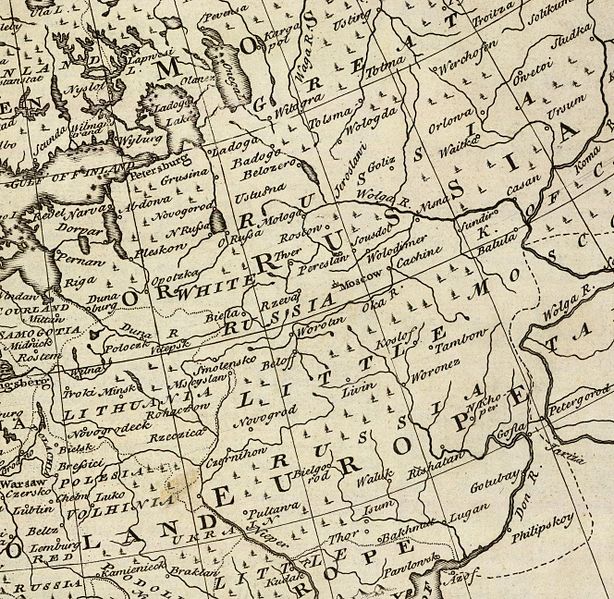
| 07:28, 26 May 2007 |  | 1,101 × 861 (471 KB) | Irpen (talk | contribs) | *A fragment of the old map. *Original full title of the map: A new and accurate map of Europe. Collected from the best authorities, assisted by the most approv'd modern maps & charts. The whole being regulated & adjusted by astronl. observations, by Eman |
You cannot overwrite this file.
File usage
The following file is a duplicate of this file (more details):
The following pages on the English Wikipedia use this file (pages on other projects are not listed):