
Size of this preview: 800 × 600 pixels. Other resolutions: 320 × 240 pixels | 640 × 480 pixels | 1,024 × 768 pixels | 1,280 × 960 pixels | 2,560 × 1,920 pixels | 4,032 × 3,024 pixels.
Original file (4,032 × 3,024 pixels, file size: 3.12 MB, MIME type: image/jpeg)
Summary
| Description |
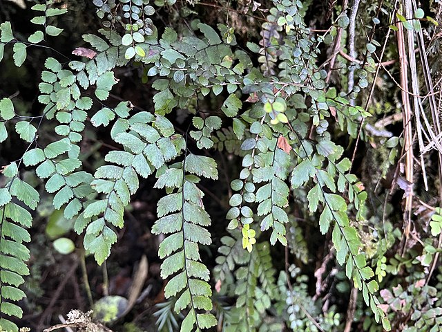
English: The Fenian Track is a historic walking track in Kahurangi National Park, in the West Coast Region of New Zealand. The track was originally constructed as a bridle track, to provide improved access to a gold mining site in Fenian Creek. Construction commenced from Market Cross, Karamea in 1876, but was not completed all the way to Fenian Creek until 1904. The route of the track follows the true left of the Ōpārara River, cut into slopes above the river. The track has a side branch – the Fenian Caves Loop – giving access to limestone caves that are a popular visitor attraction. |
|||||||||||||||||
| Date | ||||||||||||||||||
| Source | Own work | |||||||||||||||||
| Author |
|
|||||||||||||||||

| Camera location | | View this and other nearby images on: OpenStreetMap |
|---|
Licensing
I, the copyright holder of this work, hereby publish it under the following license:
This file is licensed under the Creative Commons Attribution 4.0 International license.
- You are free:
- to share – to copy, distribute and transmit the work
- to remix – to adapt the work
- Under the following conditions:
- attribution – You must give appropriate credit, provide a link to the license, and indicate if changes were made. You may do so in any reasonable manner, but not in any way that suggests the licensor endorses you or your use.
File history
Click on a date/time to view the file as it appeared at that time.
| Date/Time | Thumbnail | Dimensions | User | Comment | |
|---|---|---|---|---|---|
| current | 11:03, 29 July 2022 | | 4,032 × 3,024 (3.12 MB) | Giantflightlessbirds | Uploaded own work with UploadWizard |
File usage
The following pages on the English Wikipedia use this file (pages on other projects are not listed):