Size of this preview: 752 × 600 pixels. Other resolutions: 301 × 240 pixels | 602 × 480 pixels | 963 × 768 pixels | 1,181 × 942 pixels.
Original file (1,181 × 942 pixels, file size: 751 KB, MIME type: image/gif, 0.1 s)
Summary
| Description |
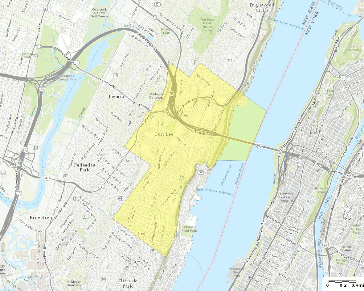
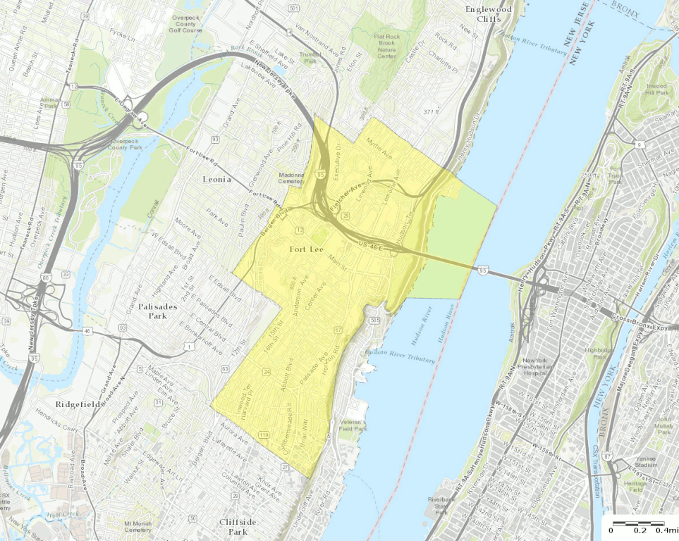
English: U.S. Census Bureau map of Fort Lee, New Jersey |
| Date | |
| Source | http://factfinder.census.gov |
| Author | United States Census Bureau |
| Other versions |
 |
Licensing
This image or file is a work of a United States Census Bureau employee, taken or made as part of that person's official duties. As a work of the U.S. federal government, the image is in the public domain.
|
 |
File history
Click on a date/time to view the file as it appeared at that time.
| Date/Time | Thumbnail | Dimensions | User | Comment | |
|---|---|---|---|---|---|
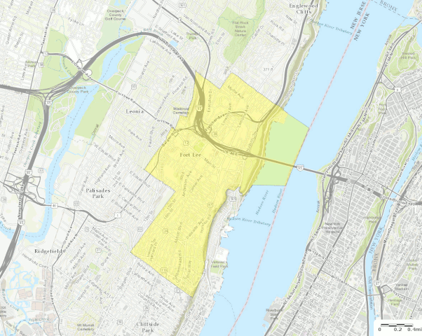
| current | 20:58, 13 October 2016 | | 1,181 × 942 (751 KB) | BurritoBazooka | a tad smaller, now that I can see it in the articles |
| 20:49, 13 October 2016 |  | 1,787 × 1,300 (1.61 MB) | BurritoBazooka | larger map (but showing about the same surrounding boroughs), with roads labelled and important roads more clearly visible. Primary reason for new upload: to show importance of I-95. |
File usage
The following pages on the English Wikipedia use this file (pages on other projects are not listed):
Global file usage
The following other wikis use this file:
- Usage on fa.wikipedia.org
- Usage on fr.wikipedia.org
- Usage on ja.wikipedia.org
- Usage on sh.wikipedia.org
- Usage on ur.wikipedia.org
.gif)