Size of this preview: 538 × 599 pixels. Other resolutions: 216 × 240 pixels | 431 × 480 pixels | 690 × 768 pixels | 920 × 1,024 pixels | 1,731 × 1,927 pixels.
Original file (1,731 × 1,927 pixels, file size: 4.19 MB, MIME type: image/png)
| This image is in the public domain because it is a screenshot from NASA’s globe software World Wind using a public domain layer, such as Blue Marble, MODIS, Landsat, SRTM, USGS or GLOBE.
|
 |
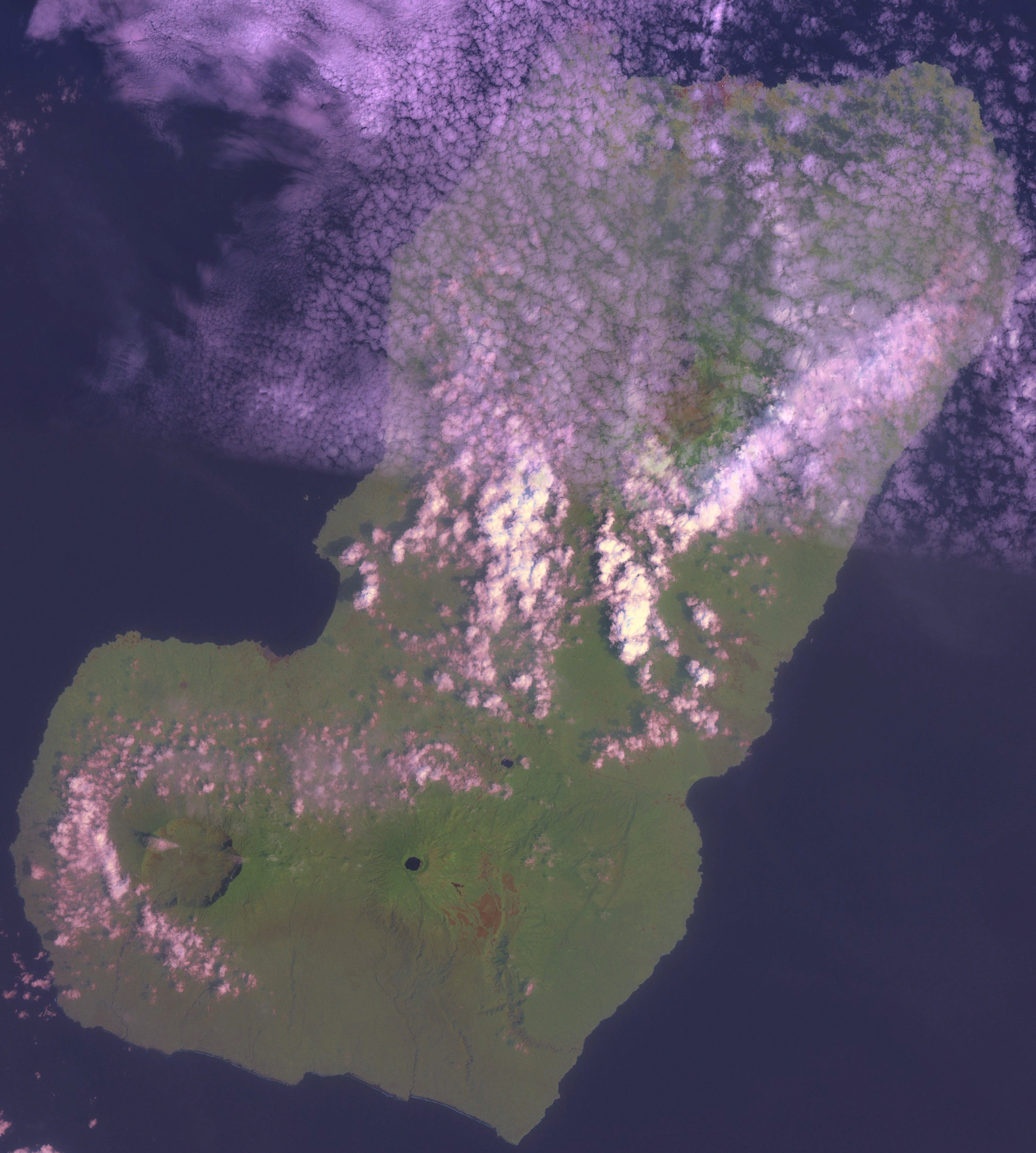
Satellite image of Bioko island.
Screenshot from NASA World Wind, OnEarth WMS layer.
File history
Click on a date/time to view the file as it appeared at that time.
| Date/Time | Thumbnail | Dimensions | User | Comment | |
|---|---|---|---|---|---|
| current | 12:07, 27 April 2006 | | 1,731 × 1,927 (4.19 MB) | Hautala | {{PD-WorldWind}} Satellite image of Bioko island. Screenshot from NASA World Wind, OnEarth WMS layer. Category:Satellite pictures of Africa |
File usage
The following pages on the English Wikipedia use this file (pages on other projects are not listed):
Global file usage
The following other wikis use this file:
- Usage on az.wikipedia.org
- Usage on bcl.wikipedia.org
- Usage on be.wikipedia.org
- Usage on bg.wikipedia.org
- Usage on br.wikipedia.org
- Usage on ca.wikipedia.org
- Usage on fa.wikipedia.org
- Usage on fi.wikipedia.org
- Usage on he.wikipedia.org
- Usage on hr.wikipedia.org
- Usage on it.wikipedia.org
- Usage on ka.wikipedia.org
- Usage on ko.wikipedia.org
- Usage on pl.wikipedia.org
- Usage on pt.wikipedia.org
- Usage on ru.wikipedia.org
- Usage on sh.wikipedia.org
- Usage on sv.wikipedia.org
- Usage on uk.wikipedia.org
- Usage on vi.wikipedia.org
- Usage on wuu.wikipedia.org
- Usage on zh.wikipedia.org
- Usage on zu.wikipedia.org