
Size of this PNG preview of this SVG file: 800 × 563 pixels. Other resolutions: 320 × 225 pixels | 640 × 451 pixels | 1,024 × 721 pixels | 1,280 × 901 pixels | 2,560 × 1,803 pixels | 1,501 × 1,057 pixels.
Original file (SVG file, nominally 1,501 × 1,057 pixels, file size: 561 KB)
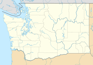
Waller-Sean city-Clover Creek,WA
Summary
| Description |
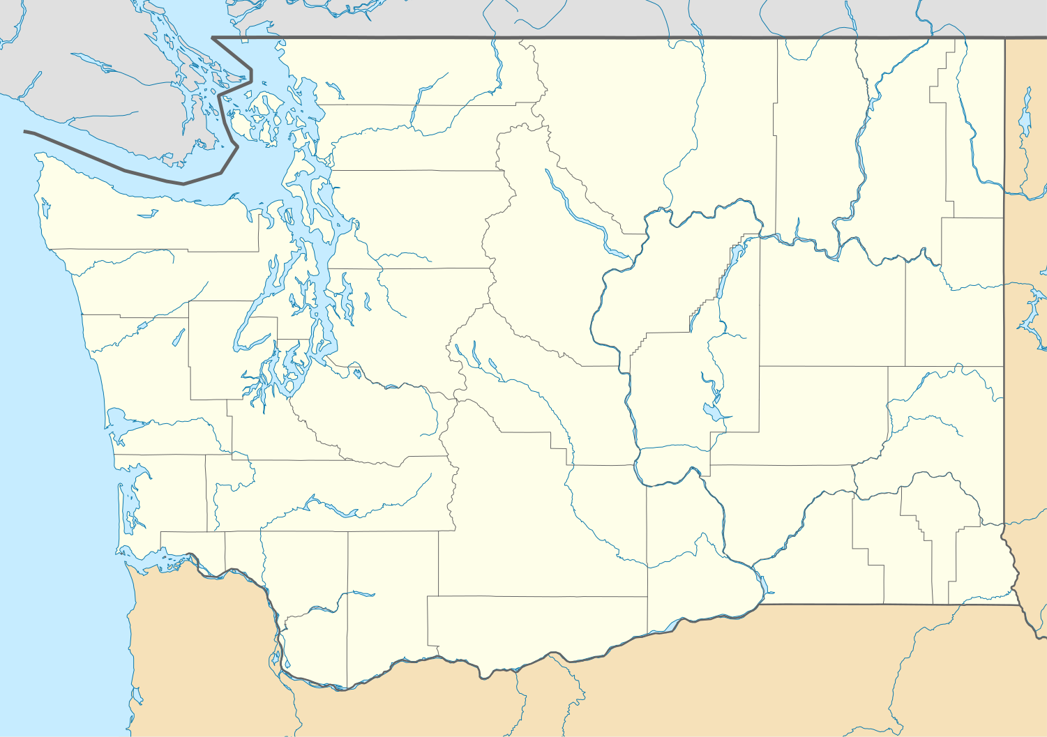
Quadratische Plattkarte, N-S-Streckung 150.0 %. Geographische Begrenzung der Karte:
Equirectangular projection, N/S stretching 150.0 %. Geographic limits of the map:
|
| Date | |
| Source | Own work |
| Author | Alexrk2 |
| Other versions |
Derivative works of this file: FirstCitizensBancShares footprint.png Derivative works of this file:
|


|
This map has been made or improved in the German Kartenwerkstatt (Map Lab). You can propose maps to improve as well.
|
Licensing
I, the copyright holder of this work, hereby publish it under the following licenses:

|
Permission is granted to copy, distribute and/or modify this document under the terms of the GNU Free Documentation License, Version 1.2 or any later version published by the Free Software Foundation; with no Invariant Sections, no Front-Cover Texts, and no Back-Cover Texts. A copy of the license is included in the section entitled GNU Free Documentation License. |
This file is licensed under the Creative Commons Attribution 3.0 Unported license.
- You are free:
- to share – to copy, distribute and transmit the work
- to remix – to adapt the work
- Under the following conditions:
- attribution – You must give appropriate credit, provide a link to the license, and indicate if changes were made. You may do so in any reasonable manner, but not in any way that suggests the licensor endorses you or your use.
You may select the license of your choice.
File history
Click on a date/time to view the file as it appeared at that time.
| Date/Time | Thumbnail | Dimensions | User | Comment | |
|---|---|---|---|---|---|
| current | 16:20, 2 October 2009 | | 1,501 × 1,057 (561 KB) | Alexrk2 | == Beschreibung == {{Information |Description= {{de|Positionskarte von Washington, USA}} Quadratische Plattkarte, N-S-Streckung 150.0 %. Geographische Begrenzung der Karte: * N: 49.2° N * S: 45.3° N * W: 125.0° W * O: 116 |
File usage
More than 100 pages use this file. The following list shows the first 100 pages that use this file only. A full list is available.
- Aberdeen, Washington
- Adna, Washington
- Ahtanum View Corrections Center
- Albion, Washington
- Allyn, Washington
- Amanda Park, Washington
- Arlington, Washington
- B Reactor
- Bainbridge Island, Washington
- Bayview, Island County, Washington
- Beer Sheva Park
- Belfair, Washington
- Bitter Lake, Seattle
- Bryant, Washington
- Chinatown–International District, Seattle
- Cornish College of the Arts
- Cowiche, Washington
- Curlew, Washington
- Cushman Dam No. 1
- Cushman Dam No. 2
- Dash Point, Washington
- Decatur Island
- Duwamish (fireboat)
- Eastern Washington University
- Ebey's Landing National Historical Reserve
- Ernie's Grove, Washington
- Fairhaven, Bellingham, Washington
- Flaming Geyser State Park
- Fort Colvile
- Fort Nisqually
- Fort Vancouver
- Fort Vancouver National Historic Site
- Fort Walla Walla
- Gas Works Park
- Gorst, Washington
- Goshen, Washington
- Grand Coulee
- Grant County International Airport
- Greenbank, Washington
- Hansville, Washington
- Hazel Dell, Washington
- Home, Washington
- Home of the Good Shepherd
- Irby, Washington
- Kalaloch, Washington
- Kelso Multimodal Transportation Center
- King Street Station
- Lamona, Washington
- Lewis and Clark Bridge (Columbia River)
- Lilliwaup, Washington
- List of Washington state parks
- Little Pend Oreille National Wildlife Refuge
- Lopez Island Airport
- Maury Island hoax
- Mazama, Washington
- Museum of History & Industry
- Naval Base Kitsap
- Naval Station Everett
- Newhalem, Washington
- Northwest Railway Museum
- Northwest School, Seattle
- Olympic Corrections Center
- Onalaska, Washington
- Orcas Island
- Pacific Beach, Washington
- Pangborn Memorial Airport
- Pateros, Washington
- Pioneer Square, Seattle
- Point Defiance Park
- Point Roberts, Washington
- Port Angeles, Washington
- Puget Sound Naval Shipyard
- Purdy, Washington
- Randle, Washington
- Ridgefield National Wildlife Refuge
- Saint Edward Seminary
- San Juan Island
- Seabeck, Washington
- Seattle Asian Art Museum
- Shaw Island
- Southworth, Washington
- Squaxin Island Tribe
- St. Paul Cathedral (Yakima, Washington)
- Stadium District, Tacoma, Washington
- Stehekin, Washington
- Sucia Island
- Sumas, Washington
- Thorp, Washington
- Trafton, Washington
- Union, Washington
- Union Bay Natural Area
- Vashon, Washington
- Veradale, Washington
- Walla Walla Regional Airport
- Washington Park Arboretum
- Washington State Capitol
- Washington State Penitentiary
- Wellington, Washington
- Western Washington University
- Whidbey Island
View more links to this file.
Global file usage
The following other wikis use this file:
- Usage on af.wikipedia.org
- Usage on an.wikipedia.org
- Usage on ar.wikipedia.org
- Usage on ast.wikipedia.org
- Usage on azb.wikipedia.org
- بلینقهام، واشینقتون
- اولمپیا، واشینقتون
- پریری هایتس، واشینقتون
- استنزبری لیک، واشینقتون
- باتل ایست، واشینقتون
- ویلاپا، واشینقتون
- چلن فالز، واشینقتون
- بارنیز جانکشن، واشینقتون
- سامیت ویو، واشینقتون
- توربوی، واشینقتون
- بویدز، واشینقتون
- دنویل، واشینقتون
- ریدروود، واشینقتون
- اسکاموکاوا ولی، واشینقتون
- واونا، واشینقتون
- بلفیر، واشینقتون
- هوداسپورت، واشینقتون
- بتل، واشینقتون
- لاپوش، واشینقتون
- کلیفدل، واشینقتون
- انتای، واشینقتون
- ساندی لیک، واشینقتون
- کاپوسین، واشینقتون
- نایل، واشینقتون
- روزبرق، واشینقتون
- کووچی، واشینقتون
- تامپیکو، واشینقتون
- هنسویل، واشینقتون
- آوتلوک، واشینقتون
- مالو، واشینقتون
- لوفال، واشینقتون
- سکیو، واشینقتون
- مکمیلین، واشینقتون
- کولرو، واشینقتون
- بولوارد پارک، واشینقتون
- پارکر، واشینقتون
- کراکر، واشینقتون
- دونالد، واشینقتون
- واکاندا، واشینقتون
- چیکو، واشینقتون
View more global usage of this file.