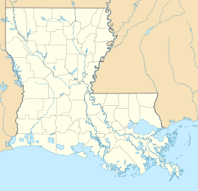
| Ben Lilly Conservation Area | |
|---|---|
IUCN category V (protected landscape/seascape) | |
| Location | Morehouse Parish |
| Coordinates | 32°53′49″N 91°50′16″W / 32.89694°N 91.83778°W |
| Area | 247 acres (100 ha) |
| Established | 2013 |
| Governing body | Louisiana Department of Wildlife and Fisheries |
Ben Lilly Conservation Area is a 247-acre tract of protected area located in Morehouse Parish, Louisiana, USA. The Louisiana Department of Wildlife and Fisheries (LDWF) became the new owner in 2013.
Name[edit]
The conservation area received its name from notorious big game hunter Ben Lilly, who was a guide for Teddy Roosevelt, when he hunted bear in the Tensas River swamp in 1907.[1]
Description[edit]
The 247-acre conservation area is bordered by the 503-acre Chemin-A-Haut State Park to the north[2] and Bayou Bartholomew makes a horseshoe boundary around the east, south and west sides. The conservation area is accessible through the state park from US 425, north of Bastrop, Louisiana, or by boat and a boat ramp is planned.[3]
[edit]
The conservation area shares the name with the Ben Lilly campground located in the Gila National Forest.[4]
References[edit]
- ^ Ernest Herndon (2003). Canoeing Louisiana. Jackson: University Press of Mississippi. p. 71. ISBN 1578064260. Retrieved 28 August 2021 – via Google Books.
- ^ "Ben Lilly Conservation Area map" (PDF). Archived from the original (PDF) on 15 February 2017. Retrieved 20 February 2017.
- ^ Bastrop Enterprise: Ben Lily Conservation Area. Retrieved 21 February 2017.
- ^ Ben Lilly Campground, Free campsites. Retrieved 21 February 2017.

