No higher resolution available.
Agulhas_Bank_NOAA_ETOPO1.jpg (703 × 417 pixels, file size: 91 KB, MIME type: image/jpeg)
Summary
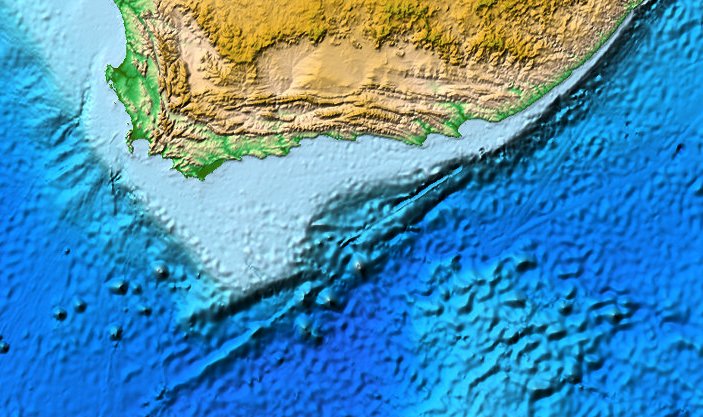
| Description | Map of the Agulhas Bank south of Africa. |
| Date | (UTC) |
| Source | NOAA DEM Discovery Portal |
| Author | Fama Clamosa (talk) 09:36, 5 January 2015 (UTC) |
| Permission (Reusing this file) |
Public Domain |
Licensing
This image is in the public domain because it contains materials that originally came from the U.S. National Oceanic and Atmospheric Administration, taken or made as part of an employee's official duties.
|
File history
Click on a date/time to view the file as it appeared at that time.
| Date/Time | Thumbnail | Dimensions | User | Comment | |
|---|---|---|---|---|---|
| current | 09:36, 5 January 2015 | | 703 × 417 (91 KB) | Fama Clamosa | {{Information |Description=Map of the Agulhas Bank south of Africa. |Source=[http://www.ngdc.noaa.gov/dem/squareCellGrid/map?theme=DDP NOAA DEM Discovery Portal] |Date=~~~~~ |Author=~~~~ |Permission=Public Domain |other_versions= }}... |
File usage
The following pages on the English Wikipedia use this file (pages on other projects are not listed):
Global file usage
The following other wikis use this file:
- Usage on af.wikipedia.org
- Usage on ca.wikipedia.org
- Usage on en.wikiversity.org
- Usage on es.wikipedia.org
- Usage on ka.wikipedia.org
- Usage on nl.wikipedia.org
- Usage on pl.wikipedia.org
- Usage on pt.wikipedia.org
- Usage on uk.wikipedia.org
- Usage on www.wikidata.org