Size of this preview: 400 × 600 pixels. Other resolutions: 160 × 240 pixels | 320 × 480 pixels | 512 × 768 pixels | 682 × 1,024 pixels | 1,365 × 2,048 pixels | 2,848 × 4,272 pixels.
Original file (2,848 × 4,272 pixels, file size: 5.86 MB, MIME type: image/jpeg)
Summary
| Description |
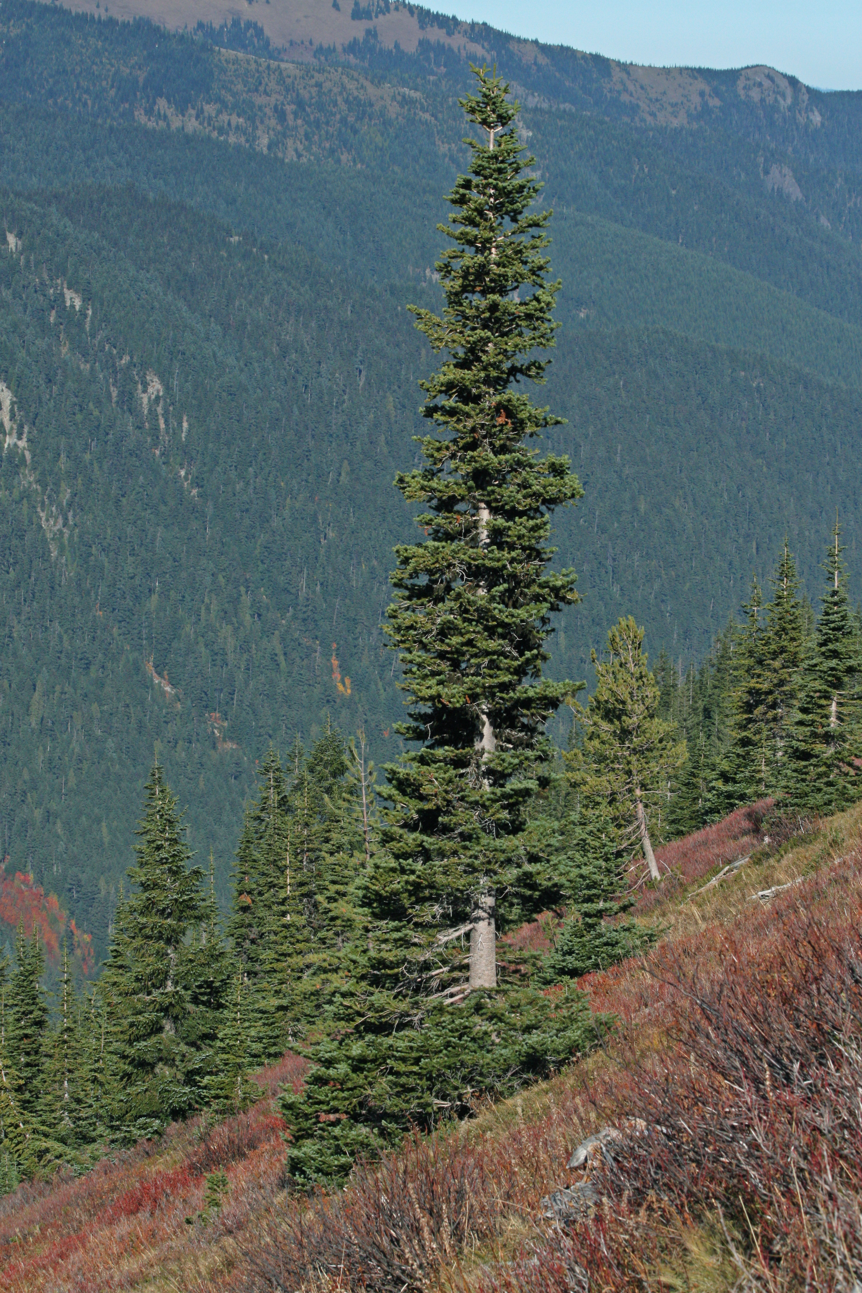
Abies lasiocarpa English: Subalpine Fir |
| Date | 22 October 2008, 11:33:09 −07:00 |
| Source | Own work |
| Author | Walter Siegmund (talk) |
| Camera location | | View this and other nearby images on: OpenStreetMap |
|---|
- Location source: Garmin GPSmap 60CSx
- Location Datum: WGS84
- Viewpoint location: Crystal Lakes Trail, Mount Rainier National Park
- Viewpoint elevation: 1803 meter (5916 ft)
- Camera: Canon EOS DIGITAL REBEL XSi
- Exposure Time: 1/800
- F Number: f/11.0
- Focal Length: 75.0
- ISO Speed Rating: 400
©2009 Walter Siegmund
Licensing
I, the copyright holder of this work, hereby publish it under the following licenses:

|
Permission is granted to copy, distribute and/or modify this document under the terms of the GNU Free Documentation License, Version 1.2 or any later version published by the Free Software Foundation; with no Invariant Sections, no Front-Cover Texts, and no Back-Cover Texts. A copy of the license is included in the section entitled GNU Free Documentation License. |
This file is licensed under the Creative Commons Attribution-Share Alike 3.0 Unported, 2.5 Generic, 2.0 Generic and 1.0 Generic license.
- You are free:
- to share – to copy, distribute and transmit the work
- to remix – to adapt the work
- Under the following conditions:
- attribution – You must give appropriate credit, provide a link to the license, and indicate if changes were made. You may do so in any reasonable manner, but not in any way that suggests the licensor endorses you or your use.
- share alike – If you remix, transform, or build upon the material, you must distribute your contributions under the same or compatible license as the original.
You may select the license of your choice.
File history
Click on a date/time to view the file as it appeared at that time.
| Date/Time | Thumbnail | Dimensions | User | Comment | |
|---|---|---|---|---|---|
| current | 15:53, 28 July 2018 | | 2,848 × 4,272 (5.86 MB) | Wsiegmund | Adobe Photoshop Elements 11.0; 20% Auto Smart Fix, Adjust Lighting/Shadows/Highlights, Levels tools |
| 04:36, 12 March 2009 |  | 2,848 × 4,272 (6.13 MB) | Wsiegmund | {{Information |Description=Mount Rainier National Park |Source=Own work |Date=2008:10:22 |Author=Walter Siegmund (talk) |Permission= |other_versions= }} [[Category:Mount Rainier National Par |
File usage
The following pages on the English Wikipedia use this file (pages on other projects are not listed):
- Conifer
- User talk:Abyssal
- User talk:AfroThundr3007730/Newsletters/Archive 1
- User talk:Ancheta Wis/Archive 6
- User talk:Andrewa/Archive 14
- User talk:Armanaziz/Archive05
- User talk:Ask123
- User talk:Auric/Archive 15
- User talk:Avicenno
- User talk:Bahb the Illuminated
- User talk:Balablitz/Archive 20
- User talk:BusterD/Archive 15
- User talk:Cactus.man/Archive 15
- User talk:Charlesdrakew/Archives/2018/August
- User talk:Chouette254
- User talk:Cplakidas/Archive 22
- User talk:DavidCane/Archives/Archive 11
- User talk:Ddstretch/Archives/2018/July
- User talk:Dunarc
- User talk:Eruditescholar/2018a
- User talk:Espilio
- User talk:Evad37/Archive 7
- User talk:Finnusertop/Archive/2018
- User talk:Greatedits1/Archive 1
- User talk:Grey Wanderer/Archive 8
- User talk:Hawkeye7/Archive 2018
- User talk:Iazyges/Archives/2018/July
- User talk:Javert2113/Archive 2
- User talk:Keith D/Archive 66
- User talk:Kpgjhpjm/Archive 3
- User talk:L3X1/Archive 6
- User talk:LightandDark2000/Archive 3
- User talk:Master of Time/Archive 4
- User talk:Mercurywoodrose/Archive13
- User talk:Nerd1a4i/Archive 3
- User talk:Nick Moyes/Archive 11
- User talk:Nigos/Archive 3
- User talk:Nolan Perry/Archive 2
- User talk:Northamerica1000/Archive 84
- User talk:OdysseusTroy
- User talk:OhanaUnited/Archive 25
- User talk:Paulmcdonald/Archives/2022/February
- User talk:Pbsouthwood/Archive 10
- User talk:PratyushSinha101/Archive 3
- User talk:RL0919/Archive 2018
- User talk:Railfan01
- User talk:Redolta/Archives 2018-2021
- User talk:Robertgombos/Archive 5
- User talk:SMcCandlish/Archive 140
- User talk:Samee/Archives/2018/July
- User talk:Serenesage
- User talk:Simon Burchell/Archive 19
- User talk:SirGents
- User talk:Slambo/Archives/2018/July
- User talk:Teblick/Archive 4
- User talk:The Grid/Archive 7
- User talk:Tisquesusa/Archive 5
- User talk:Trinitrobrick/Archive 1
- User talk:Vermont/Archive 9
- User talk:Vishal14k
- User talk:Waggers/Archive 26
- User talk:WikiWikiWayne/Archive 40
- User talk:Wumbolo/Archive 2
- User talk:Ww2censor/Archive32
- User talk:Tom
- Wikipedia:WikiProject Portals/Newsletter archive
Global file usage
The following other wikis use this file:
- Usage on bs.wikipedia.org
- Usage on et.wikipedia.org
- Usage on lt.wikipedia.org
- Usage on pt.wikipedia.org
- Usage on ro.wikipedia.org
- Usage on www.wikidata.org