
Size of this preview: 800 × 600 pixels. Other resolutions: 320 × 240 pixels | 640 × 480 pixels | 1,024 × 768 pixels | 1,280 × 960 pixels | 2,560 × 1,920 pixels | 2,816 × 2,112 pixels.
Original file (2,816 × 2,112 pixels, file size: 1.99 MB, MIME type: image/jpeg)
| Camera location | | View this and other nearby images on: OpenStreetMap |
|---|
| Description |
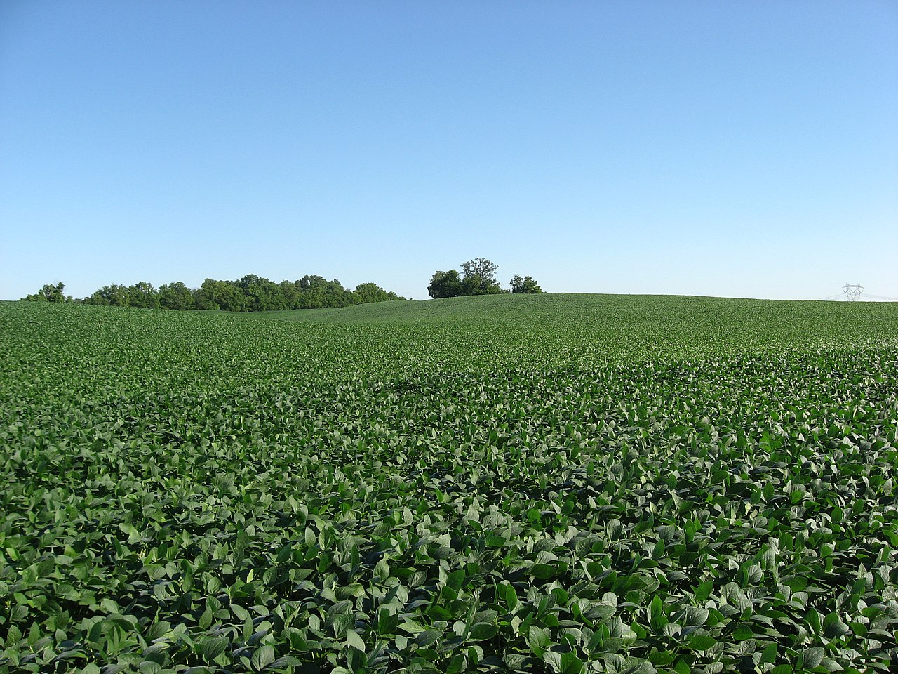
English: Soybean fields at Applethorpe Farm, located at 292 Whissler Road north of Hallsville in Colerain Township, Ross County, Ohio, United States. |
||
| Date | Taken on 24 July 2010 | ||
| Source | Own work | ||
| Author | Nyttend | ||
| Permission (Reusing this file) |
|
File history
Click on a date/time to view the file as it appeared at that time.
| Date/Time | Thumbnail | Dimensions | User | Comment | |
|---|---|---|---|---|---|
| current | 13:36, 13 July 2010 | | 2,816 × 2,112 (1.99 MB) | Nyttend | {{Location|39|26|56.4|N|82|49|24.6|W}} {{Information |Description={{en|Soybean fields at {{w|Buchwalter House-Applethorpe Farm|Applethorpe Farm}}, located at 292 Whissler Road north of {{w|Hallsville, Ohio|Hallsville}} in {{w|Colerain Township, Ross Count |
File usage
The following pages on the English Wikipedia use this file (pages on other projects are not listed):
Global file usage
The following other wikis use this file:
- Usage on es.wikipedia.org
- Usage on eu.wikipedia.org
- Usage on fa.wikipedia.org
- Usage on pl.wikibooks.org
- Usage on pt.wikipedia.org
- Usage on vi.wikipedia.org
- Usage on www.wikidata.org
- Usage on zh.wikipedia.org