Kabataş | |
|---|---|
District and municipality | |
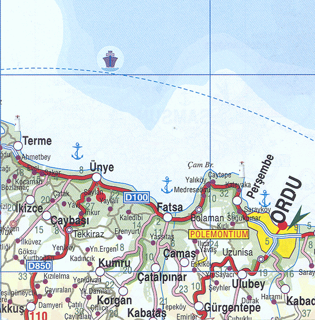
 Map showing Kabataş District in Ordu Province | |
 Kabataş Location in Turkey | |
| Coordinates: 40°45′00″N 37°27′00″E / 40.75000°N 37.45000°E | |
| Country | Turkey |
| Province | Ordu |
| Government | |
| • Mayor | Yakup Yılmaz (AKP) |
| Area | 74 km2 (29 sq mi) |
| Elevation | 450 m (1,480 ft) |
| Population (2022)[1] | 10,119 |
| • Density | 140/km2 (350/sq mi) |
| Time zone | UTC+3 (TRT) |
| Postal code | 52520 |
| Area code | 0452 |
| Climate | Cfb |
| Website | www |
Kabataş, formerly Karay, is a municipality and district of Ordu Province, Turkey.[2] Its area is 74 km2,[3] and its population is 10,119 (2022).[1] The town lies at an elevation of 450 m (1,476 ft).
Formerly the village of Karay, Kabataş is in the Canik Mountains, 40 km inland from the Black Sea coast. The area was conquered by the Anatolian beylik of Hacıemir in 1380.
Composition[edit]
There are 18 neighbourhoods in Kabataş District:[4]
- Alanbaşı
- Alankent
- Ardıç
- Belen
- Beylerli
- Çukurcak
- Düz
- Eceli
- Elbeyi
- Hoşkadem
- Ilıcak
- Kabataş
- Kabataş Yeni
- Kayıncık
- Kuzköy
- Şifa Suyu
- Yakacık
- Yeniceli
References[edit]
- ^ a b "Address-based population registration system (ADNKS) results dated 31 December 2022, Favorite Reports" (XLS). TÜİK. Retrieved 19 September 2023.
- ^ Büyükşehir İlçe Belediyesi, Turkey Civil Administration Departments Inventory. Retrieved 19 September 2023.
- ^ "İl ve İlçe Yüz ölçümleri". General Directorate of Mapping. Retrieved 19 September 2023.
- ^ Mahalle, Turkey Civil Administration Departments Inventory. Retrieved 19 September 2023.
External links[edit]
- District governor's official website (in Turkish)
- District municipality's official website (in Turkish)
- Road map of Kabataş and environs
- Various images of Kabataş and Belen, Ordu
Kabataş, Ordu in Ordu Province of Turkey | |||||||||||||||||||||||||||
|---|---|---|---|---|---|---|---|---|---|---|---|---|---|---|---|---|---|---|---|---|---|---|---|---|---|---|---|
| Districts |   | ||||||||||||||||||||||||||
|
Metropolitan municipalities are bolded. | |||||||||||||||||||||||||||