
Size of this PNG preview of this SVG file: 445 × 599 pixels. Other resolutions: 178 × 240 pixels | 356 × 480 pixels | 570 × 768 pixels | 760 × 1,024 pixels | 1,520 × 2,048 pixels | 758 × 1,021 pixels.
Original file (SVG file, nominally 758 × 1,021 pixels, file size: 91 KB)
Summary
| Description |
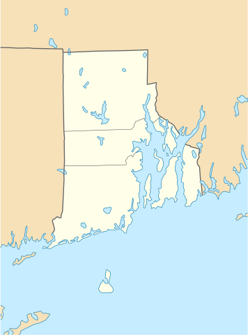
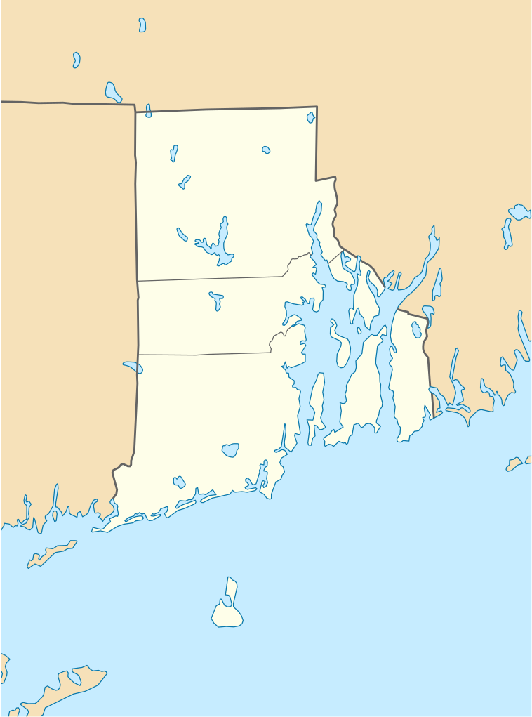
Quadratische Plattkarte, N-S-Streckung 135 %. Geographische Begrenzung der Karte:
Equirectangular projection, N/S stretching 135 %. Geographic limits of the map:
|
| Date | 11 June 2009 (upload date) |
| Source |
own work, using
|
| Author | NordNordWest |
| Other versions |
Derivative works of this file: |

|
This map has been made or improved in the German Kartenwerkstatt (Map Lab). You can propose maps to improve as well.
|
Licensing
I, the copyright holder of this work, hereby publish it under the following licenses:

|
Permission is granted to copy, distribute and/or modify this document under the terms of the GNU Free Documentation License, Version 1.2 or any later version published by the Free Software Foundation; with no Invariant Sections, no Front-Cover Texts, and no Back-Cover Texts. A copy of the license is included in the section entitled GNU Free Documentation License. |
This file is licensed under the Creative Commons Attribution 3.0 Unported license.
- You are free:
- to share – to copy, distribute and transmit the work
- to remix – to adapt the work
- Under the following conditions:
- attribution – You must give appropriate credit, provide a link to the license, and indicate if changes were made. You may do so in any reasonable manner, but not in any way that suggests the licensor endorses you or your use.
You may select the license of your choice.
File history
Click on a date/time to view the file as it appeared at that time.
| Date/Time | Thumbnail | Dimensions | User | Comment | |
|---|---|---|---|---|---|
| current | 18:51, 11 June 2009 | | 758 × 1,021 (91 KB) | NordNordWest | {{Information |Description= {{de|Positionskarte von Rhode Island, USA}} Quadratische Plattkarte, N-S-Streckung 135 %. Geographische Begrenzung der Karte: * N: 42.2° N * S: 41.0° N * W: 72.1° W * O: 70.9° W {{en|Locatio |
File usage
More than 100 pages use this file. The following list shows the first 100 pages that use this file only. A full list is available.
- 50 Kennedy Plaza
- Aldrich Mansion
- Angelo's Civita Farnese
- Ashaway, Rhode Island
- Barrington, Rhode Island
- Battle of Rhode Island Site
- Beavertail Lighthouse
- Bellevue Avenue Historic District
- Beneficent Congregational Church
- Boston Red Sox Radio Network
- Bradford, Rhode Island
- Carolina, Rhode Island
- Casey Farm
- Cathedral of Saints Peter and Paul (Providence, Rhode Island)
- Chateau-sur-Mer
- Clemence–Irons House
- Downtown, Providence, Rhode Island
- Dutch Island (Rhode Island)
- East Providence, Rhode Island
- Eleazer Arnold House
- Ell Pond (Rhode Island)
- Elmwood, Providence, Rhode Island
- Esmond, Rhode Island
- First Baptist Church in America
- Fleur-de-lys Studios
- Flying Horse Carousel
- Forestdale, Rhode Island
- Fort Wetherill
- General Nathanael Greene Homestead
- Georgiaville, Rhode Island
- Governor Henry Lippitt House
- Haffenreffer Museum of Anthropology
- Harrisville, Rhode Island
- Hope Valley, Rhode Island
- Hunter House (Newport, Rhode Island)
- Isaac Bell House
- John Brown House (Providence, Rhode Island)
- Kingscote (mansion)
- Kingston, Rhode Island
- Ladd Observatory
- Lime Rock, Rhode Island
- List of Rhode Island state parks
- Malbone Castle and Estate
- Melville, Rhode Island
- Moses Brown School
- Mount Hope Bridge
- Museum of Newport History
- Narragansett Pier, Rhode Island
- Naval Station Newport
- Naval War College
- Naval War College Museum
- Nelson W. Aldrich House
- Newport Casino
- Newport East, Rhode Island
- North Burial Ground
- North Scituate, Rhode Island
- Oaklawn, Rhode Island
- Pawtucket, Rhode Island
- Pawtuxet Village
- Peace Dale, Rhode Island
- Portsmouth Abbey
- Providence Biltmore
- Quonochontaug, Rhode Island
- Quonset Point Air National Guard Station
- Redwood Library and Athenaeum
- Renaissance Providence Hotel
- Rhode Island School of Design Museum
- Roger Williams National Memorial
- Roger Williams Park
- Rosecliff
- Rumford, Rhode Island
- S. Stephen's Church (Providence, Rhode Island)
- Saunderstown, Rhode Island
- Shea High School
- Shiloh Church (Newport, Rhode Island)
- Slatersville, Rhode Island
- Smith Hill, Providence, Rhode Island
- Smithville Seminary
- Smith–Ballou House
- Swan Point Cemetery
- The Breakers (1878)
- The Elms (Newport, Rhode Island)
- The Towers (Narragansett, Rhode Island)
- Tiverton (CDP), Rhode Island
- Trinity Church (Newport, Rhode Island)
- Trinity Repertory Company
- Union Station (Providence)
- Union Village, Rhode Island
- United States District Court for the District of Rhode Island
- Wakefield, Rhode Island
- Walsh-Kaiser Company
- Watch Hill, Rhode Island
- Weekapaug, Rhode Island
- Westerly (CDP), Rhode Island
- Westminster Arcade
- White Horse Tavern (Newport, Rhode Island)
- Whitehall Museum House
- Whitehorne House Museum
- Wickford, Rhode Island
- Wilcox Park
View more links to this file.
Global file usage
The following other wikis use this file:
- Usage on an.wikipedia.org
- Usage on ar.wikipedia.org
- Usage on azb.wikipedia.org
- Usage on az.wikipedia.org
- Usage on be-tarask.wikipedia.org
- Usage on bg.wikipedia.org
- Usage on bn.wikipedia.org
- টেমপ্লেট:অবস্থান মানচিত্র মার্কিন যুক্তরাষ্ট্রের রোড আইল্যান্ড
- ফস্টার-পেইন হাউস
- ১৭৬১ মাইলস্টোন
- পঞ্চম ওয়ার্ড ওয়ার্ডরুম
- ফায়ার স্টেশন নং ৪ (পটাকেট, রোডি আইল্যান্ড)
- ব্রাউন স্টেডিয়াম
- মডিউল:অবস্থান মানচিত্র/উপাত্ত/মার্কিন যুক্তরাষ্ট্র রোড আইল্যান্ড
- মডিউল:অবস্থান মানচিত্র/উপাত্ত/মার্কিন যুক্তরাষ্ট্র রোড আইল্যান্ড/নথি
- Usage on ca.wikipedia.org
- Usage on ceb.wikipedia.org
- Usage on ce.wikipedia.org
- Ворик (Род-Айленд)
- Вунсокет (Род-Айленд)
- Ист-Провиденс (Род-Айленд)
- Кренстон (Род-Айленд)
- Ньюпорт (Род-Айленд)
- Потакет (Род-Айленд)
- Провиденс
- Сентрал-Фоллс (Род-Айленд)
- Барриллвилл (Род-Айленд)
- Беррингтон (Род-Айленд)
- Бристоль (Род-Айленд)
- Вест-Ворик (Род-Айленд)
- Вест-Гринвич (Род-Айленд)
- Вестерли
- Воррен (Род-Айленд)
- Глостер (Род-Айленд)
- Гопкинтон
- Джеймстаун (Род-Айленд)
- Джонстон (Род-Айленд)
- Эксетер (Род-Айленд)
- Ист-Гринвич (Род-Айленд)
View more global usage of this file.