
Size of this PNG preview of this SVG file: 800 × 492 pixels. Other resolutions: 320 × 197 pixels | 640 × 394 pixels | 1,024 × 630 pixels | 1,280 × 788 pixels | 2,560 × 1,576 pixels | 6,226 × 3,832 pixels.
Original file (SVG file, nominally 6,226 × 3,832 pixels, file size: 51 KB)
Summary
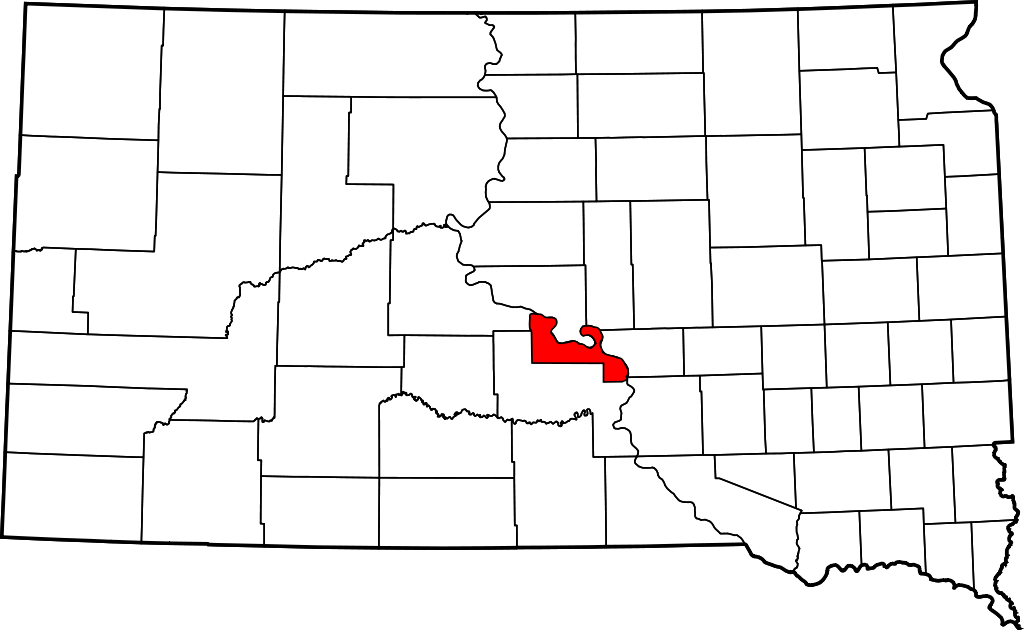
| Description | Map showing the location of Lower Brule Indian Reservation in South Dakota. |
| Date | |
| Source | Made with information from nationalatlas.gov. Made using Inkscape. |
| Author | Teaandcrumpets |
Licensing
| I, the copyright holder of this work, release this work into the public domain. This applies worldwide. In some countries this may not be legally possible; if so: I grant anyone the right to use this work for any purpose, without any conditions, unless such conditions are required by law. |
File history
Click on a date/time to view the file as it appeared at that time.
| Date/Time | Thumbnail | Dimensions | User | Comment | |
|---|---|---|---|---|---|
| current | 03:09, 6 October 2007 | | 6,226 × 3,832 (51 KB) | Teaandcrumpets | == Summary == {{Information |Description= Map showing the location of Lower Brule Indian Reservation in South Dakota. |Source= Made with information from [http://nationalatlas.gov nationalatlas.gov]. Made using Inkscape. |Date= 5 |
File usage
The following pages on the English Wikipedia use this file (pages on other projects are not listed):
Global file usage
The following other wikis use this file:
- Usage on ca.wikipedia.org
- Usage on de.wikipedia.org
- Usage on pl.wikipedia.org
- Usage on www.wikidata.org