
Size of this PNG preview of this SVG file: 740 × 600 pixels. Other resolutions: 296 × 240 pixels | 593 × 480 pixels | 948 × 768 pixels | 1,264 × 1,024 pixels | 2,528 × 2,048 pixels | 2,419 × 1,960 pixels.
Original file (SVG file, nominally 2,419 × 1,960 pixels, file size: 925 KB)
Summary
| Description |
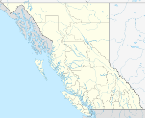
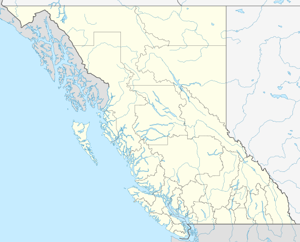
Quadratische Plattkarte, N-S-Streckung 170 %. Geographische Begrenzung der Karte:
Equirectangular projection, N/S stretching 170 %. Geographic limits of the map:
|
| Date | |
| Source |
Own work, using
|
| Author | NordNordWest |
| Permission (Reusing this file) |
I, the copyright holder of this work, hereby publish it under the following license: This file is licensed under the Creative Commons Attribution-Share Alike 3.0 Unported license.
|
| Other versions |
Derivative works of this file:
|


|
This map has been made or improved in the German Kartenwerkstatt (Map Lab). You can propose maps to improve as well.
|
File history
Click on a date/time to view the file as it appeared at that time.
| Date/Time | Thumbnail | Dimensions | User | Comment | |
|---|---|---|---|---|---|
| current | 12:20, 13 March 2012 | | 2,419 × 1,960 (925 KB) | NordNordWest | corr |
| 16:08, 10 March 2011 |  | 2,419 × 1,960 (933 KB) | NordNordWest | corrected | |
| 07:58, 28 August 2009 |  | 2,419 × 1,960 (1.49 MB) | NordNordWest | ||
| 11:48, 27 August 2009 |  | 2,419 × 1,960 (1.5 MB) | NordNordWest | {{int:filedesc}} {{Information |Description= {{de|Positionskarte von British Columbia, Kanada}} Quadratische Plattkarte, N-S-Streckung 170 %. Geographische Begrenzung der Karte: * N: 60.3° N * S: 48.1° N * W: 139. |
File usage
The following pages on the English Wikipedia use this file (pages on other projects are not listed):
Global file usage
The following other wikis use this file:
- Usage on af.wikipedia.org
- Usage on als.wikipedia.org
- Usage on ba.wikipedia.org
- Usage on be-tarask.wikipedia.org
- Usage on be.wikipedia.org
- Usage on cs.wikipedia.org
- Usage on de.wikipedia.org
- Kamloops
- Vancouver
- Victoria (British Columbia)
- Whistler (British Columbia)
- Grubenunglück von Nanaimo
- Burnaby
- Sidney (British Columbia)
- Sooke
- Vancouver International Airport
- Valemount (British Columbia)
- Revelstoke
- Port Coquitlam
- Kelowna
- Nelson (British Columbia)
- Prince George (British Columbia)
- Bridge Lake
- Saanich (British Columbia)
- Abbotsford (British Columbia)
- Port Alberni
- Nootka Sound
- Zeballos
- Courtenay (British Columbia)
- Tofino
- Eishockey-Weltmeisterschaft der U20-Junioren 2006
- Nanaimo
- Surrey (British Columbia)
- Coquitlam
- Maple Ridge
- Dawson Creek
- Rogers Arena
- Prince Rupert
- Powell River (British Columbia)
- Ucluelet (British Columbia)
View more global usage of this file.